Filters: Tags: Rio Grande (X)
333 results (40ms)|
Filters
Date Range
Extensions
Types
Contacts
Categories Tag Types
|
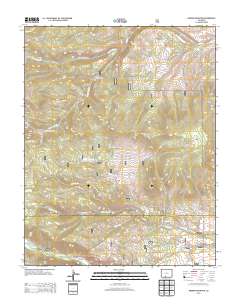
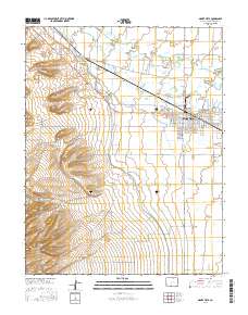
Layered GeoPDF 7.5 Minute Quadrangle Map. Layers of geospatial data include orthoimagery, roads, grids, geographic names, elevation contours, hydrography, and other selected map features.
Layered geospatial PDF Map. Layers of geospatial data include orthoimagery, roads, grids, geographic names, elevation contours, hydrography, and other selected map features.
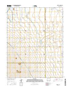
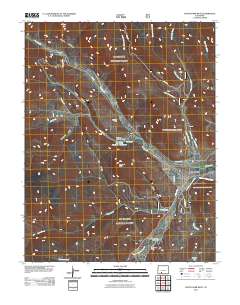
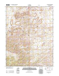
Layered GeoPDF 7.5 Minute Quadrangle Map. Layers of geospatial data include orthoimagery, roads, grids, geographic names, elevation contours, hydrography, and other selected map features.
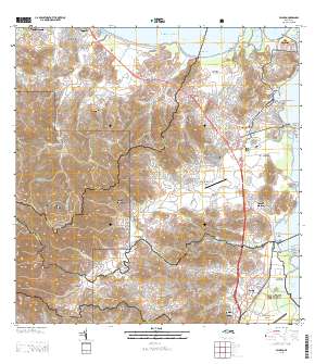
Layered GeoPDF Quadrangle Map. Layers of geospatial data include orthoimagery, roads, grids, geographic names, elevation contours, hydrography, and other selected map features.

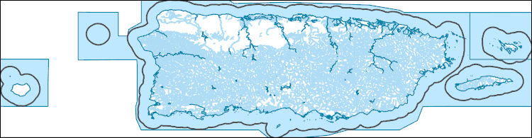
This data represents the map extent for current and historical USGS topographic maps for the United States and Territories, including 1 X 2 Degree, 1 X 1 Degree, 30 X 60 Minute, 15 X 15 Minute, 7.5 X 7.5 Minute, and 3.75 X 3.75 Minute. The grid was generated using ESRI ArcInfo GIS software.

The Geographic Names Information System (GNIS) is the Federal standard for geographic nomenclature. The U.S. Geological Survey developed the GNIS for the U.S. Board on Geographic Names, a Federal inter-agency body chartered by public law to maintain uniform feature name usage throughout the Government and to promulgate standard names to the public. The GNIS is the official repository of domestic geographic names data; the official vehicle for geographic names use by all departments of the Federal Government; and the source for applying geographic names to Federal electronic and printed products of all types.
This dataset contains a thematic [classified] image derived from supervised classification of WorldView-3 satellite imagery. This data release contains a geospatial thematic (raster) image derived from a supervised classification of WorldView-3 satellite imagery obtained during 2020–21. Arundo donax (Arundo cane, giant reed, or Carrizo cane), is an invasive bamboo-like perennial grass most common to riparian areas throughout the southwestern United States. Because it displaces native riparian vegetation, Arundo cane has greatly disrupted the health of riparian ecosystems in the southwestern United States and northern Mexico during the past 50 years. Arundo cane also has created border security problems along the...
Types: Map Service,
OGC WFS Layer,
OGC WMS Layer,
OGC WMS Service;
Tags: Arundo cane,
Arundo donax,
Carrizo cane,
Giant Reed,
Rio Grande,
This dataset contains the input files, script, and output files regarding 110 years of daily regulated (observed) and naturalized streamflow (million cubic meters/day) for ten gauge stations in the Rio Grande/Bravo basin. The gauge stations included are at Amistad, Anzalduas, Artesia, Below Presidio, Laredo, Conchos Outlet, Foster Ranch, Laredo, Pecos Outlet, Salado River, and San Juan River.
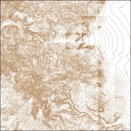
USGS NED 1/3 arc-second Contours for Durango E, Colorado 1 x 1 degree (published 20240112) Shapefile
These vector contour lines are derived from the 3D Elevation Program using automated and semi-automated processes. They were created to support 1:24,000-scale CONUS and Hawaii, 1:25,000-scale Alaska, and 1:20,000-scale Puerto Rico / US Virgin Island topographic map products, but are also published in this GIS vector format. Contour intervals are assigned by 7.5-minute quadrangle, so this vector dataset is not visually seamless across quadrangle boundaries. The vector lines have elevation attributes (in feet above mean sea level on NAVD88), but this dataset does not carry line symbols or annotation.
Conclusions: In fragmented watersheds, macrohabitat attributes measured at the patch scale were far more effective in predicting trout translocation success than measurements taken at the landscape scale Thresholds/Learnings: As a course filter indicator of cutthroat trout translocation success, the study found that translocations have a greater than 50% chance of fruitful establishment in watersheds >14.7km2 in area. Synopsis: This study aimed to identify stream-scale and basin-scale macrohabitat attributes limiting successful translocation and persistence of native cutthroat trout populations in fragmented landscapes along the Rio Grande. The study developed models of habitat attributes measured at two scales...
Categories: Publication;
Types: Citation,
Map Service,
OGC WFS Layer,
OGC WMS Layer,
OGC WMS Service;
Tags: AZ/NM Plateau,
Arizona/New Mexico Plateau,
Arizona/New Mexico mountains,
Landscape,
Landscape fragmentation,
There is a need to understand how alteration of physical processes on the Rio Grande River have impacted aquatic biota and their habitats, and a need to predict potential future effects of climate change on biotic resources in order to prescribe research and management activities that will enhance conservation of aquatic species. We propose a project with the goal of developing monitoring recommendations and identifying research needs for aquatic ecological resources in the Big Bend region of the Rio Grande. This goal will be targeted by synthesizing and analyzing available data and literature for aquatic species in the project region. In particular, we will work to develop time series of abundance and population...
This part of the Data Release contains the raster representation of the water-level altitude and water-level change maps developed every 5 years from 1980-2015 for the upper Rio Grande Focus Area Study. The input point data used to generate the water-level altitude maps can be found in the "Groundwater level measurement data used to develop water-level altitude maps in the upper Rio Grande Alluvial Basins" child item of this data release. These digital data accompany Houston, N.A., Thomas, J.V., Foster, L.K., Pedraza, D.E., and Welborn, T.L., 2020, Hydrogeologic framework, groundwater-level altitudes, groundwater-level changes, and groundwater-storage changes in selected alluvial basins of the upper Rio Grande...
Types: Map Service,
OGC WFS Layer,
OGC WMS Layer,
OGC WMS Service;
Tags: Abiquiu Reservoir,
Ahumada,
Alamosa,
Alamosa County,
Alamosa Creek,
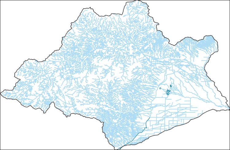
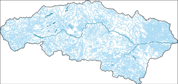
The National Hydrography Dataset (NHD) is a feature-based database that interconnects and uniquely identifies the stream segments or reaches that make up the nation's surface water drainage system. NHD data was originally developed at 1:100,000-scale and exists at that scale for the whole country. This high-resolution NHD, generally developed at 1:24,000/1:12,000 scale, adds detail to the original 1:100,000-scale NHD. (Data for Alaska, Puerto Rico and the Virgin Islands was developed at high-resolution, not 1:100,000 scale.) Local resolution NHD is being developed where partners and data exist. The NHD contains reach codes for networked features, flow direction, names, and centerline representations for areal water...
This project had two primary goals: 1) To develop a process for integrating data from multiple sources to improve predictions of climate impacts for wildlife species; and 2) To provide data on climate and related hydrological change, fire behavior under future climates, and species’ distributions for use by researchers and resource managers.We present within this report the process used to integrate species niche models, fire simulations, and vulnerability assessment methods and provide species’ reports that summarize the results of this work. Species niche model analysis provides information on species’ distributions under three climate scenarios and time periods. Niche model analysis allows us to estimate the...
The National Hydrography Dataset (NHD) is a feature-based database that interconnects and uniquely identifies the stream segments or reaches that make up the nation's surface water drainage system. NHD data was originally developed at 1:100,000-scale and exists at that scale for the whole country. This high-resolution NHD, generally developed at 1:24,000/1:12,000 scale, adds detail to the original 1:100,000-scale NHD. (Data for Alaska, Puerto Rico and the Virgin Islands was developed at high-resolution, not 1:100,000 scale.) Local resolution NHD is being developed where partners and data exist. The NHD contains reach codes for networked features, flow direction, names, and centerline representations for areal water...
The National Hydrography Dataset (NHD) is a feature-based database that interconnects and uniquely identifies the stream segments or reaches that make up the nation's surface water drainage system. NHD data was originally developed at 1:100,000-scale and exists at that scale for the whole country. This high-resolution NHD, generally developed at 1:24,000/1:12,000 scale, adds detail to the original 1:100,000-scale NHD. (Data for Alaska, Puerto Rico and the Virgin Islands was developed at high-resolution, not 1:100,000 scale.) Local resolution NHD is being developed where partners and data exist. The NHD contains reach codes for networked features, flow direction, names, and centerline representations for areal water...
Burn probability (BP) raster dataset predicted for the 2080-2100 period in the Rio Grande area was generated using: 1) data developed from the 2014 Fire Program Analysis (FPA) system; 2) geospatial Fire Simulation (FSim) system developed by the US Forest Service Missoula Fire Sciences Laboratory to estimate probabilistic components of wildfire risk (Finney et al. 2011); and 3) climate predictions developed using the Multivariate Adaptive Constructed Analogs (MACA) method (Abatzoglou and Brown 2011) which downscaled model output from the GFDL-ESM-2m global climate model of the Coupled Model Inter-Comparison Project 5 for the 8.5 Representative Concentration Pathway.
Categories: Data;
Types: ArcGIS REST Map Service,
ArcGIS Service Definition,
Downloadable,
Map Service;
Tags: burn probability,
fire,
future climate,
gis,
rio grande,
|

|
