Filters: Tags: Rock Creek (X)
34 results (136ms)|
Filters
Date Range
Types Contacts
Categories Tag Types
|
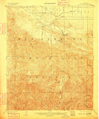
USGS Historical Quadrangle in GeoPDF.

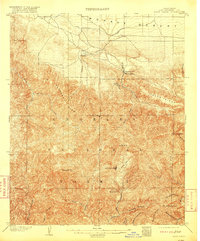
USGS Historical Quadrangle in GeoPDF.
Head of east fork of Rock Creek. Alaska. 1913.
This dataset summarizes various sedimentary data from ten U.S. Geological Survey (USGS) surface water sites across the contiguous United States. These sites include: 01648010 Rock Creek at Joyce Road, Washington, DC 05586300 Illinois River at Florence, Illinois 06731000 Cherry Creek below Cherry Creek Lake, Colorado 06807000 Missouri River at Nebraska City, Nebraska 06935965 Missouri River at St. Charles, Missouri 08374550 Rio Grande near Castolon, Texas 08375300 Rio Grande at Rio Grande Village, Big Bend National Park, Texas 09404200 Colorado River above Diamond Creek near Peach Springs, Arizona 11447650 Sacramento River at Freeport, California 12046260 Elwha River at diversion near Port Angeles, Washington The...
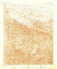
USGS Historical Quadrangle in GeoPDF.
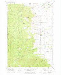
USGS Historical Quadrangle in GeoPDF.
USGS Historical Quadrangle in GeoPDF.
USGS Historical Quadrangle in GeoPDF.
USGS Historical Quadrangle in GeoPDF.
USGS Historical Quadrangle in GeoPDF.
USGS Historical Quadrangle in GeoPDF.
Rock Creek from mountains west of Kluvesna River. Alaska. 1913.
This dataset includes spatial location information from 167 temperature data loggers that were installed throughout the Willow/Rock/Frazer watersheds of northern Nevada between July 30 and August 14, 2015. One hundred twelve data loggers were installed in stream channels (some of which were dry), 50 data loggers were installed outside the stream channel to measure air temperature, and 5 data loggers were installed on ridgetops to measure air temperature across the watershed.
Categories: Data;
Tags: Drought,
Drought, Fire and Extreme Weather,
Elko County,
Frazer Creek,
GNIS ID 843273,
USGS Historical Quadrangle in GeoPDF.
Aerial photographs of the coastline from Nome to Elim were collected on August 23, 2015. The photographs were processed using Structure-from-Motion (SfM) photogrammetric techniques. Global Positioning System (GPS) checkpoints were collected via a Global Navigation Satellite System (GNSS) survey conducted between August 15 and September 14, 2015. For the purposes of open access to elevation and orthoimagery datasets in coastal regions of Alaska, this collection is being released as a Raw Data File with an open end-user license. This file is a single-band, 32-bit float DSM (digital surface model) which represents surface elevations of buildings, vegetation, and uncovered ground surfaces in meters with 20 cm GSD. The...
This dataset includes stream temperatures from a network of 112 data loggers that was installed in stream channels throughout the Willow/Rock/Frazer watersheds of northern Nevada between July 31 and August 15, 2015. Ninety-seven data loggers were recovered and downloaded in late July 2016.
Categories: Data;
Tags: Drought,
Drought, Fire and Extreme Weather,
Elko County,
Frazer Creek,
GNIS ID 843273,
USGS Historical Quadrangle in GeoPDF.
Broodstock, individual Faxonius quadruncus, were collected for culturing eggs until hatch. Hatchling crayfish were to be used in toxicity testing to assess hazards of metals mixtures to young Faxonius quadruncus
USGS Historical Quadrangle in GeoPDF.
The U.S. Geological Survey (USGS), in cooperation with the U.S. Army Corps of Engineers—Louisville District conducted a pilot study on the use of an autonomous underwater vehicle (AUV) for a survey of water conditions during August 2016 in a portion of Nolin River Lake, Kentucky. The AUV was equipped with sensors for the continuous collection of water-quality measurements for dissolved oxygen, pH, specific conductance, temperature, turbidity, total chlorophyll, and blue-green algae concentrations. The AUV continuously collected measurements of these water-quality parameters while traveling at varied depths in a set spatial pattern within a portion of the lake. In addition to the AUV survey, discrete nutrient- and...
Categories: Data;
Types: Map Service,
OGC WFS Layer,
OGC WMS Layer,
OGC WMS Service;
Tags: Aquatic Biology, Water Quality,
Dog Creek,
Edmonson County,
Grayson County,
Hart County,
|

|
