Filters: Tags: Roxboro (X)
13 results (33ms)|
Filters
Date Range
Types Contacts
Categories Tag Types Tag Schemes |
The collection of borehole geophysical logs and images and continuous water-level data was conducted by the U.S. Geological Survey South Atlantic Water Science Center in the vicinity of the GMH Electronics Superfund site near Roxboro, North Carolina, during December 2012 through July 2015. The study purpose was part of a continued effort to assist the U.S. Environmental Protection Agency in the development of a conceptual groundwater model for the assessment of current contaminant distribution and future migration of contaminants. Previous work by the U.S. Geological Survey South Atlantic Water Science Center at the site involved similar data collection, in addition to surface geologic mapping and passive diffusion...
Categories: Data;
Types: Citation;
Tags: North Carolina,
Person County,
Roxboro,
fractured-rock aquifer,
geophysical logging,
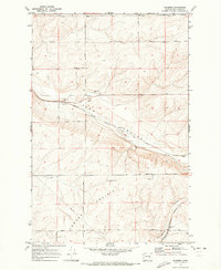
USGS Historical Quadrangle in GeoPDF.
The collection of borehole geophysical logs and images and continuous water-level data was conducted by the U.S. Geological Survey South Atlantic Water Science Center in the vicinity of the GMH Electronics Superfund site near Roxboro, North Carolina, during December 2012 through July 2015. The study purpose was part of a continued effort to assist the U.S. Environmental Protection Agency in the development of a conceptual groundwater model for the assessment of current contaminant distribution and future migration of contaminants. Previous work by the U.S. Geological Survey South Atlantic Water Science Center at the site involved similar data collection, in addition to surface geologic mapping and passive diffusion...
Categories: Data;
Types: Citation;
Tags: North Carolina,
Person County,
Roxboro,
fractured-rock aquifer,
geophysical logging,
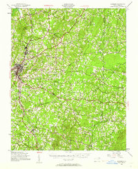
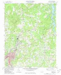
USGS Historical Quadrangle in GeoPDF.

USGS Historical Quadrangle in GeoPDF.
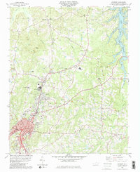
USGS Historical Quadrangle in GeoPDF.
The collection of borehole geophysical logs and images and continuous water-level data was conducted by the U.S. Geological Survey South Atlantic Water Science Center in the vicinity of the GMH Electronics Superfund site near Roxboro, North Carolina, during December 2012 through July 2015. The study purpose was part of a continued effort to assist the U.S. Environmental Protection Agency in the development of a conceptual groundwater model for the assessment of current contaminant distribution and future migration of contaminants. Previous work by the U.S. Geological Survey South Atlantic Water Science Center at the site involved similar data collection, in addition to surface geologic mapping and passive diffusion...
The geodatabase for the Charlotte 1 degree × 2 degrees quadrangle by Goldsmith and others (1988) was compiled in the Geologic Map Schema (GeMS). The geologic map extends across four lithotectonic belts of the Piedmont from the Coastal Plain and Wadesboro Triassic basin on the east to the Blue Ridge belt in the vicinity of the Grandfather Mountain window on the west. The Wadesboro Triassic basin contains arkosic sandstone, siltstone and conglomerate unconformably overlain by small inliers of late Cretaceous Coastal Plain sediment of the Middendorf Formation (?). The Blue Ridge, Inner Piedmont, Kings Mountain, Charlotte, and Carolina Slate belts consist of different Mesoproterozoic to Late Paleozoic metamorphosed...
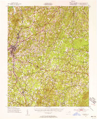
USGS Historical Quadrangle in GeoPDF.
The collection of borehole geophysical logs and images and continuous water-level data was conducted by the U.S. Geological Survey South Atlantic Water Science Center in the vicinity of the GMH Electronics Superfund site near Roxboro, North Carolina, during December 2012 through July 2015. The study purpose was part of a continued effort to assist the U.S. Environmental Protection Agency in the development of a conceptual groundwater model for the assessment of current contaminant distribution and future migration of contaminants. Previous work by the U.S. Geological Survey South Atlantic Water Science Center at the site involved similar data collection, in addition to surface geologic mapping and passive diffusion...
Types: Citation;
Tags: North Carolina,
Person County,
Roxboro,
fractured-rock aquifer,
geophysical logging,
USGS Historical Quadrangle in GeoPDF.
|

|
