Filters: Tags: Salinas (X)
61 results (64ms)|
Filters
Date Range
Types Contacts
Categories Tag Types Tag Schemes |
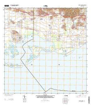
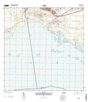
Layered GeoPDF Quadrangle Map. Layers of geospatial data include orthoimagery, roads, grids, geographic names, elevation contours, hydrography, and other selected map features.

This data represents the map extent for current and historical USGS topographic maps for the United States and Territories, including 1 X 2 Degree, 1 X 1 Degree, 30 X 60 Minute, 15 X 15 Minute, 7.5 X 7.5 Minute, and 3.75 X 3.75 Minute. The grid was generated using ESRI ArcInfo GIS software.
This digital dataset contains the climate data used for the Lower Salinas Valley Hydrologic Models (Salinas Valley Integrated Hydrologic Model (SVIHM) and Salinas Valley Operational Model (SVOM)). The monthly climate data for the Lower Salinas Valley Hydrologic Models are based on the regional climate data for the Salinas Valley Hydrologic System [Hevesi and others, 2022]. To develop the monthly climate grids, the regional climate data were resampled to a monthly timescale and area weighted to the model grid. The climate data include spatially distributed monthly precipitation and potential evapotranspiration for the model grid for October 1967 to September 2018.
The National Hydrography Dataset (NHD) is a feature-based database that interconnects and uniquely identifies the stream segments or reaches that make up the nation's surface water drainage system. NHD data was originally developed at 1:100,000-scale and exists at that scale for the whole country. This high-resolution NHD, generally developed at 1:24,000/1:12,000 scale, adds detail to the original 1:100,000-scale NHD. (Data for Alaska, Puerto Rico and the Virgin Islands was developed at high-resolution, not 1:100,000 scale.) Local resolution NHD is being developed where partners and data exist. The NHD contains reach codes for networked features, flow direction, names, and centerline representations for areal water...
Layered GeoPDF Quadrangle Map. Layers of geospatial data include orthoimagery, roads, grids, geographic names, elevation contours, hydrography, and other selected map features.
Irrigation runoff and soil samples were collected from a lettuce field located at the USDA-ARS Spence Research farm in the Salinas Valley, California to measure neonicotinoid insecticides (clothianidin and imidacloprid) and a fungicide (azoxystrobin) applied via coated seed and drench treatments. The field trial was designed to evaluate four treatments with replication: 1) control, untreated seed, 2) imidacloprid treated seed, 3) clothianidin treated seed, and 4) azoxystrobin treated seed with an imidacloprid drench. Samples were collected from each treatment over two lettuce growing seasons: August to October 2019 and September to October 2020. Runoff samples were collected over both growing seasons during 6 irrigation...
Categories: Data;
Tags: California,
Salinas,
Soil Sciences,
USGS Science Data Catalog (SDC),
Water Quality,
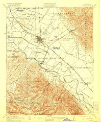
USGS Historical Quadrangle in GeoPDF.
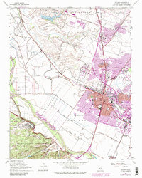
USGS Historical Quadrangle in GeoPDF.
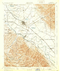
USGS Historical Quadrangle in GeoPDF.
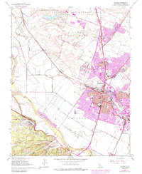
USGS Historical Quadrangle in GeoPDF.
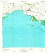
USGS Historical Quadrangle in GeoPDF.
Geospatial data is comprised of government boundaries.
USGS Historical Quadrangle in GeoPDF.
Layers of geospatial data include roads, airports, trails, and railroads.
Geospatial data includes structures and other selected map features.
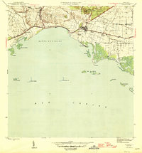
USGS Historical Quadrangle in GeoPDF.

USGS Historical Quadrangle in GeoPDF.
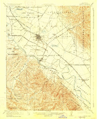
USGS Historical Quadrangle in GeoPDF.
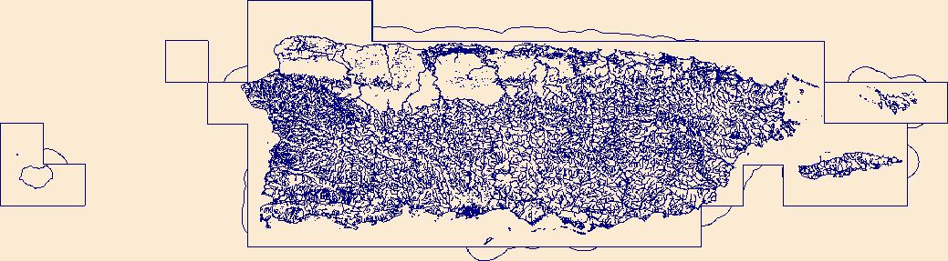
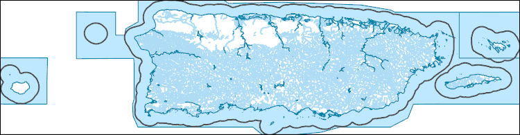
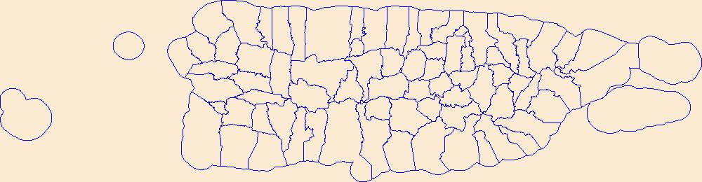
USGS National Hydrography Dataset Best Resolution (NHD) - Puerto Rico (published 20231227) Shapefile
The National Hydrography Dataset (NHD) is a feature-based database that interconnects and uniquely identifies the stream segments or reaches that make up the nation's surface water drainage system. NHD data was originally developed at 1:100,000-scale and exists at that scale for the whole country. This high-resolution NHD, generally developed at 1:24,000/1:12,000 scale, adds detail to the original 1:100,000-scale NHD. (Data for Alaska, Puerto Rico and the Virgin Islands was developed at high-resolution, not 1:100,000 scale.) Local resolution NHD is being developed where partners and data exist. The NHD contains reach codes for networked features, flow direction, names, and centerline representations for areal water...

The National Hydrography Dataset (NHD) is a feature-based database that interconnects and uniquely identifies the stream segments or reaches that make up the nation's surface water drainage system. NHD data was originally developed at 1:100,000-scale and exists at that scale for the whole country. This high-resolution NHD, generally developed at 1:24,000/1:12,000 scale, adds detail to the original 1:100,000-scale NHD. (Data for Alaska, Puerto Rico and the Virgin Islands was developed at high-resolution, not 1:100,000 scale.) Local resolution NHD is being developed where partners and data exist. The NHD contains reach codes for networked features, flow direction, names, and centerline representations for areal water...
|

|
