Filters: Tags: San Antonio (X)
44 results (273ms)|
Filters
Date Range
Extensions Types
Contacts
Categories Tag Types
|
Sediment samples and samples for water-toxicity testing were collected during 2014 from several streams in San Antonio, Texas known locally as the Westside creeks (Alazán, Apache, Martínez, and San Pedro Creeks) and from the San Antonio River. Samples were collected once during base-flow and again after periods of storm-water runoff (post-storm conditions) to determine baseline sediment- and water-quality conditions. Streambed-sediment samples were analyzed for selected constituents, including trace elements and organic contaminants such as pesticides, polychlorinated biphenyls (PCBs), brominated flame retardants, and polycyclic aromatic hydrocarbons (PAHs).
Categories: Data;
Tags: Alazán Creek,
Apache Creek,
Bexar County,
Brominated flame retardants,
Fathead minnow,
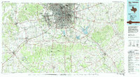
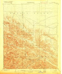
USGS Historical Quadrangle in GeoPDF.
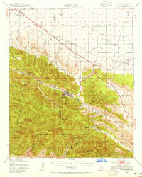
USGS Historical Quadrangle in GeoPDF.
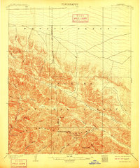
USGS Historical Quadrangle in GeoPDF.
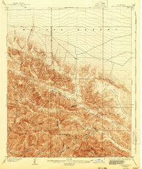
USGS Historical Quadrangle in GeoPDF.
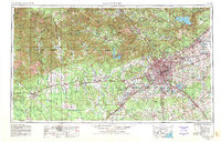
USGS Historical Quadrangle in GeoPDF.

USGS Historical Quadrangle in GeoPDF.
Supporting datasets for the associated journal publication "Towards reproducible environmental modeling for decision support: a worked example". Includes source codes for the version of PEST++ and MODFLOW-2005 used, the pyEMU and FloPy python modules and the driver script "eaa.py". Also included are the existing MODFLOW-2005 models supplied the Edwards Aquifer Authority
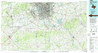
USGS Historical Quadrangle in GeoPDF.
USGS Historical Quadrangle in GeoPDF.
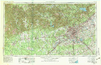
USGS Historical Quadrangle in GeoPDF.
USGS Historical Quadrangle in GeoPDF.

USGS Historical Quadrangle in GeoPDF.
USGS Historical Quadrangle in GeoPDF.
USGS Historical Quadrangle in GeoPDF.
This data release includes aerial imagery collected during two uncrewed aerial system (UAS) imagery surveys at an edge-of-field site north of Medina River Natural Area near San Antonio, Texas, on August 14, 2019, and July 8, 2022. A total of 1,153 images were collected during the survey on August 14, 2019, and a total of 1,277 images were collected during the survey on July 8, 2022. In total, 2,430 images provided in the form of geotagged true-color aerial images in JPG format are provided.
This data release includes ground control points (GCPs) collected during two uncrewed aerial system (UAS) imagery surveys conducted at an edge-of-field site north of Medina River Natural Area near San Antonio, Texas, on August 14, 2019, and July 8, 2022. Ten GCPs were used on each survey date, and a total of twenty GCPs are described in this data release.
ADMMR map collection: Duquesne Mining Area Claim Map; 1 in. to 300 feet; 38 x 31 in.
USGS Historical Quadrangle in GeoPDF.

USGS Historical Quadrangle in GeoPDF.
|

|
