Filters
Date Range
Contacts
Tag Types
Tag Schemes
|
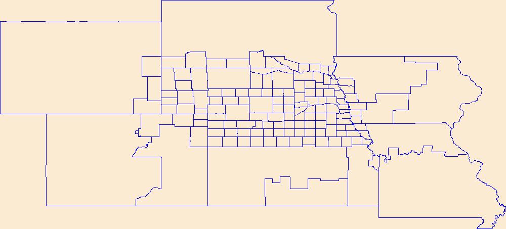
Geospatial data is comprised of government boundaries.
Types: Citation;
Tags: Adams,
Antelope,
Arthur,
Banner,
Blaine, All tags...
Boone,
Boundaries,
Box Butte,
Boyd,
Brown,
Buffalo,
Burt,
Butler,
Cass,
Cedar,
Chase,
Cherry,
Cheyenne,
Clay,
Colfax,
County or Equivalent,
Cuming,
Custer,
Dakota,
Dawes,
Dawson,
Deuel,
Dixon,
Dodge,
Douglas,
Downloadable Data,
Dundy,
Esri File GeoDatabase 10,
FileGDB,
Fillmore,
Franklin,
Frontier,
Furnas,
Gage,
Garden,
Garfield,
Gosper,
Grant,
Greeley,
Hall,
Hamilton,
Harlan,
Hayes,
Hitchcock,
Holt,
Hooker,
Howard,
Incorporated Place,
Jefferson,
Johnson,
Jurisdictional,
Kearney,
Keith,
Keya Paha,
Kimball,
Knox,
Lancaster,
Lincoln,
Logan,
Loup,
Madison,
McPherson,
Merrick,
Minor Civil Division,
Morrill,
NE,
Nance,
National Boundary Dataset (NBD),
Native American Area,
Nebraska,
Nemaha,
Nuckolls,
Otoe,
PLSS First Division,
PLSS Special Survey,
PLSS Township,
Pawnee,
Perkins,
Phelps,
Pierce,
Platte,
Polk,
Public Land Survey System,
Red Willow,
Reserve,
Richardson,
Rock,
Saline,
Sarpy,
Saunders,
Scotts Bluff,
Seward,
Sheridan,
Sherman,
Sioux,
Stanton,
State,
State,
State or Territory,
Thayer,
Thomas,
Thurston,
U.S. National Grid,
US,
Unincorporated Place,
United States,
Valley,
Washington,
Wayne,
Webster,
Wheeler,
York,
boundaries,
boundary,
cadastral surveys,
geographic names,
land ownership,
land use maps,
legal land descriptions,
political and administrative boundaries,
zoning maps, Fewer tags
This zip folder contains ASCII text files of vectors at the specified volcano at 12-hour intervals, from January 1, 1990 through December 28, 2009. The wind vectors are divided into five files, names by their elevation range above sea level in the atmosphere: 00-05km.txt; 05-11km.txt; 11-16km.txt; 16-24km.txt; and 24-30km.txt. The zip folder also contains a subfolder "figures", with Wind rose plots of wind direction and speed over this time period. The plots are by season, and by elevation, given a total of 20 plots (4 seasons, 5 elevation ranges). A summary plot is also included which gives the year-round wind pattern at the volcano, at 0-5 km elevation. Plots are in both jpg and pdf format.
This data represents the map extent for current and historical USGS topographic maps for the United States and Territories, including 1 X 2 Degree, 1 X 1 Degree, 30 X 60 Minute, 15 X 15 Minute, 7.5 X 7.5 Minute, and 3.75 X 3.75 Minute. The grid was generated using ESRI ArcInfo GIS software.
Types: Citation;
Tags: Adams,
Antelope,
Arthur,
Banner,
Blaine, All tags...
Boone,
Boundaries,
Box Butte,
Boyd,
Brown,
Buffalo,
Burt,
Butler,
Cass,
Cedar,
Chase,
Cherry,
Cheyenne,
Clay,
Colfax,
Cuming,
Custer,
Dakota,
Dawes,
Dawson,
Deuel,
Dixon,
Dodge,
Douglas,
Downloadable Data,
Dundy,
Esri Shapefile nan,
Fillmore,
Franklin,
Frontier,
Furnas,
Gage,
Garden,
Garfield,
Gosper,
Grant,
Greeley,
Hall,
Hamilton,
Harlan,
Hayes,
Hitchcock,
Holt,
Hooker,
Howard,
Jefferson,
Johnson,
Kearney,
Keith,
Keya Paha,
Kimball,
Knox,
Lancaster,
Lincoln,
Logan,
Loup,
Madison,
Map Indices,
Map Indices,
Map Indices,
McPherson,
Merrick,
Morrill,
NE,
Nance,
Nebraska,
Nemaha,
Nuckolls,
Otoe,
Pawnee,
Perkins,
Phelps,
Pierce,
Platte,
Polk,
Red Willow,
Richardson,
Rock,
Saline,
Sarpy,
Saunders,
Scotts Bluff,
Seward,
Shapefile,
Sheridan,
Sherman,
Sioux,
Stanton,
State,
State,
Thayer,
Thomas,
Thurston,
US,
United States,
United States of America,
Valley,
Washington,
Wayne,
Webster,
Wheeler,
York,
cells,
map indices,
polygon grid, Fewer tags
|
|