Filters: Tags: Slate Creek (X)
7 results (50ms)|
Filters
|
Mineral-resources personnel from the Alaska Division of Geological & Geophysical Surveys carried out a geological field survey, including mapping and sampling near Livengood in the Livengood B-3 and B-4 quadrangles, Alaska from June 10 to June 30, 2010. The fieldwork provides basic information critical to building an understanding of Alaska’s geology and is part of an integrated program of airborne geophysical surveys followed by geological mapping. During 2010, 130 rock samples were collected for geochemical trace-element analysis, and 20 rock samples were collected for whole rock (major- and minor-oxide) analysis. Petrogenetically important trace elements for additional rock samples will be analyzed and published...
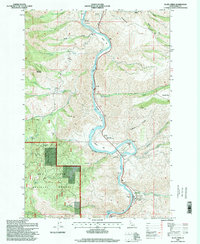
USGS Historical Quadrangle in GeoPDF.
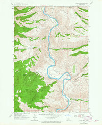
USGS Historical Quadrangle in GeoPDF.
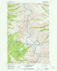
USGS Historical Quadrangle in GeoPDF.
40Ar/39Ar data from plutonic, dike, and alteration samples collected during geologic mapping of the eastern part of the Bonnifield mining district geologic map area in parts of Fairbanks A-1 and Fairbanks A-2 and Healy D-1 and Healy D-2 quadrangles yield results indicating the plutons, dikes, and a gold-bearing quartz vein in the Bonnifield Map area range from 85 to 95 m.y.
Mineral-resources personnel from the Alaska Division of Geological & Geophysical Surveys carried out a geological field survey, including mapping and sampling in the eastern part of the Bonnifield mining district in the Fairbanks A-1, A-2, Healy D-1 and D-2 quadrangles, Alaska from June 16 to July 18, 2008. The fieldwork provides basic information critical to building an understanding of Alaska geology and is part of an integrated program of airborne geophysical surveys followed by geological mapping. During 2008, 242 rock samples were collected for geochemical trace-element analysis, 106 rock samples were collected for whole rock (major- and minor-oxide and petrogenetically important trace element) analyses, and...
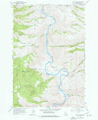
USGS Historical Quadrangle in GeoPDF.
|

|
