Filters: Tags: Slide Creek (X)
12 results (11ms)|
Filters
Date Range
Contacts
Categories Tag Types Tag Schemes |
Mineral Resources Section personnel from the Alaska Division of Geological & Geophysical Surveys (DGGS) carried out a geologic field survey, including mapping and sampling, in the eastern part of the Bonnifield mining district in the Fairbanks A-1 and A-2 and the Healy D-1 and D-2 quadrangles, Alaska, from June 16 through July 18, 2008. The fieldwork provides basic information critical to building an understanding of Alaska's geology and is part of an integrated program of airborne geophysical surveys followed by geologic mapping. Specifically, this work provides geologic context for geophysical surveys conducted in 2006. Interpretation and synthesis of this data has been presented in professional and trade meetings....
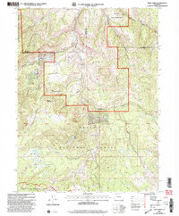
USGS Historical Quadrangle in GeoPDF.
USGS Historical Quadrangle in GeoPDF.
Interactions between geomorphic processes at multiple scales shape the distributions of habitats, species, and life stages that a river can support. Understanding these hierarchical processes may be helpful for proactive monitoring and restoration of native Western Brook Lamprey (Lampetra richardsoni) and Pacific Lamprey (Entosphenus tridentatus) in Pacific Northwest rivers. The processes creating thick, fine-grained sediment deposits that lamprey larvae rely on as rearing habitat were assessed in part through field sampling in the Umpqua River basin, southwestern Oregon, USA. Local factors, such as substrate, boulders, wood, and water, that control sediment erosion and deposition, affecting larval lamprey habitat,...
Categories: Data;
Tags: Cascades Range,
Douglas County,
Klamath Mountains,
Little Wolf Creek,
Oregon Coast Range,
Interactions between geomorphic processes at multiple scales shape the distributions of habitats, species, and life stages that a river can support. Understanding these hierarchical processes may be helpful for proactive monitoring and restoration of native Western Brook Lamprey (Lampetra richardsoni) and Pacific Lamprey (Entosphenus tridentatus) in Pacific Northwest rivers. The processes creating thick, fine-grained sediment deposits that lamprey larvae rely on as rearing habitat were assessed in part through field sampling in the Umpqua River basin, southwestern Oregon, USA. Local factors, such as substrate, boulders, wood, and water, that control sediment erosion and deposition, affecting larval lamprey habitat,...
40Ar/39Ar data from plutonic, dike, and alteration samples collected during geologic mapping of the eastern part of the Bonnifield mining district geologic map area in parts of Fairbanks A-1 and Fairbanks A-2 and Healy D-1 and Healy D-2 quadrangles yield results indicating the plutons, dikes, and a gold-bearing quartz vein in the Bonnifield Map area range from 85 to 95 m.y.
Mineral-resources personnel from the Alaska Division of Geological & Geophysical Surveys carried out a geological field survey, including mapping and sampling in the eastern part of the Bonnifield mining district in the Fairbanks A-1, A-2, Healy D-1 and D-2 quadrangles, Alaska from June 16 to July 18, 2008. The fieldwork provides basic information critical to building an understanding of Alaska geology and is part of an integrated program of airborne geophysical surveys followed by geological mapping. During 2008, 242 rock samples were collected for geochemical trace-element analysis, 106 rock samples were collected for whole rock (major- and minor-oxide and petrogenetically important trace element) analyses, and...
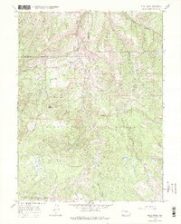
USGS Historical Quadrangle in GeoPDF.
USGS Historical Quadrangle in GeoPDF.
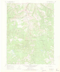
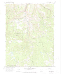
USGS Historical Quadrangle in GeoPDF.
Interactions between geomorphic processes at multiple scales shape the distributions of habitats, species, and life stages that a river can support. Understanding these hierarchical processes may be helpful for proactive monitoring and restoration of native Western Brook Lamprey (Lampetra richardsoni) and Pacific Lamprey (Entosphenus tridentatus) in Pacific Northwest rivers. The processes creating thick, fine-grained sediment deposits that lamprey larvae rely on as rearing habitat were assessed in part through field sampling in the Umpqua River basin, southwestern Oregon, USA. Local factors, such as substrate, boulders, wood, and water, that control sediment erosion and deposition, affecting larval lamprey habitat,...
Interactions between geomorphic processes at multiple scales shape the distributions of habitats, species, and life stages that a river can support. Understanding these hierarchical processes may be helpful for proactive monitoring and restoration of native Western Brook Lamprey (Lampetra richardsoni) and Pacific Lamprey (Entosphenus tridentatus) in Pacific Northwest rivers. The processes creating thick, fine-grained sediment deposits that lamprey larvae rely on as rearing habitat were assessed in part through field sampling in the Umpqua River basin, southwestern Oregon, USA. Local factors, such as substrate, boulders, wood, and water, that control sediment erosion and deposition, affecting larval lamprey habitat,...
Categories: Data;
Tags: Cascades Range,
Douglas County,
Klamath Mountains,
Little Wolf Creek,
Oregon Coast Range,
|

|
