Filters: Tags: Spring Valley (X)
34 results (80ms)|
Filters
Date Range
Extensions Types Contacts
Categories Tag Types
|
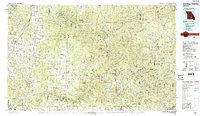
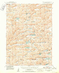
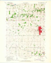
USGS Historical Quadrangle in GeoPDF.

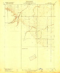
USGS Historical Quadrangle in GeoPDF.
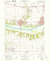
USGS Historical Quadrangle in GeoPDF.
This dataset includes the magnetotelluric (MT) sounding data collected in 2003 along a north-south profile west of Wendover, Nevada. It is important to know whether major mining districts in the Northern Nevada Gold Province are underlain by rocks of the Archean Wyoming craton, which are known to contain orogenic gold deposits, or by accreted rocks of the Paleoproterozoic Mojave province. It is also important to know the location and orientation of the Archean/Proterozoic suture zone between these provinces as well as major basement structures within these terranes because they may influence subsequent patterns of sedimentation, deformation, magmatism, and hydrothermal activity. This study was funded by the U.S....
This dataset includes the magnetotelluric (MT) sounding data collected in 2003 along a north-south profile west of Wendover, Nevada. It is important to know whether major mining districts in the Northern Nevada Gold Province are underlain by rocks of the Archean Wyoming craton, which are known to contain orogenic gold deposits, or by accreted rocks of the Paleoproterozoic Mojave province. It is also important to know the location and orientation of the Archean/Proterozoic suture zone between these provinces as well as major basement structures within these terranes because they may influence subsequent patterns of sedimentation, deformation, magmatism, and hydrothermal activity. This study was funded by the U.S....
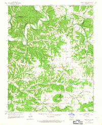
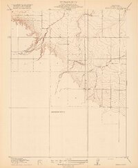
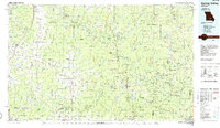
USGS Historical Quadrangle in GeoPDF.
USGS Historical Quadrangle in GeoPDF.
USGS Historical Quadrangle in GeoPDF.

USGS Historical Quadrangle in GeoPDF.
This dataset includes the magnetotelluric (MT) sounding data collected in 2003 along a north-south profile west of Wendover, Nevada. It is important to know whether major mining districts in the Northern Nevada Gold Province are underlain by rocks of the Archean Wyoming craton, which are known to contain orogenic gold deposits, or by accreted rocks of the Paleoproterozoic Mojave province. It is also important to know the location and orientation of the Archean/Proterozoic suture zone between these provinces as well as major basement structures within these terranes because they may influence subsequent patterns of sedimentation, deformation, magmatism, and hydrothermal activity. This study was funded by the U.S....
This dataset includes the magnetotelluric (MT) sounding data collected in 2003 along a north-south profile west of Wendover, Nevada. It is important to know whether major mining districts in the Northern Nevada Gold Province are underlain by rocks of the Archean Wyoming craton, which are known to contain orogenic gold deposits, or by accreted rocks of the Paleoproterozoic Mojave province. It is also important to know the location and orientation of the Archean/Proterozoic suture zone between these provinces as well as major basement structures within these terranes because they may influence subsequent patterns of sedimentation, deformation, magmatism, and hydrothermal activity. This study was funded by the U.S....
This dataset includes the magnetotelluric (MT) sounding data collected in 2003 along a north-south profile west of Wendover, Nevada. It is important to know whether major mining districts in the Northern Nevada Gold Province are underlain by rocks of the Archean Wyoming craton, which are known to contain orogenic gold deposits, or by accreted rocks of the Paleoproterozoic Mojave province. It is also important to know the location and orientation of the Archean/Proterozoic suture zone between these provinces as well as major basement structures within these terranes because they may influence subsequent patterns of sedimentation, deformation, magmatism, and hydrothermal activity. This study was funded by the U.S....
USGS Historical Quadrangle in GeoPDF.
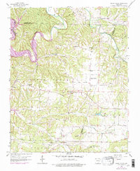
USGS Historical Quadrangle in GeoPDF.
These data were released prior to the October 1, 2016 effective date for the USGS’s policy dictating the review, approval, and release of scientific data as referenced in USGS Survey Manual Chapter 502.8 Fundamental Science Practices: Review and Approval of Scientific Data for Release. Accurate delineations of irrigated acreage are critical in the development of water-use estimates and in determining an accurate water budget for the hydrographic basins of the BARCAS study area. Currently, irrigated acreage is estimated routinely for only a few basins in the study area and these acreages are calculated and reported by township range section, quarter, and quarter-quarter. Satellite imagery from the Landsat Thematic...
Rattlesnake Knoll is a small, isolated 30-meter-high mound of igneous breccia in the center of Spring Valley, White Pine County, Nevada. There is a small gravity anomaly associated with the knoll which, when combined with an initial, limited ground magnetic survey, indicates that rocks of the knoll probably extend northward in the subsurface. To explore this possibility, a 16-kilometer ground magnetic traverse was conducted in 2006 mainly along U.S. Route6/50, just north of the knoll.Magnetic data were obtained using a portable cesium vapor magnetometer integrated with a differential GPS receiver. The magnetometer was mounted on a non-magnetic aluminum fame and towed behind a vehicle, with measurements taken at...
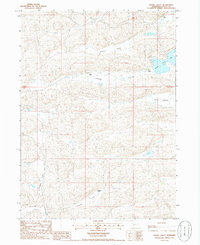
USGS Historical Quadrangle in GeoPDF.
USGS Historical Quadrangle in GeoPDF.
USGS Historical Quadrangle in GeoPDF.
This collection contains GSFLOW and R-RHESSys model input and output files. CSC_model_files contains the baseline Cleve Creek model, T-only change model, and T-P change model. Model_results.rar is from R-RHESSYS model of climate projections of drought during the next 30 years (2016-2035) for the Cleve Creek watershed in Nevada. Within the .rar packaging are .dat files that contain outputs including net primary productivity (NPP), leaf area index (LAI), actual evapotranspiration (AET), soil moisture, groundwater level, streamflow, snow pack (as snow water equivalent, SWE). Geographic information: Site is Cleve Creek, a headwaters basin to Spring Valley in Eastern Nevada. Lower left corner of model grid is 701984...
Categories: Data;
Types: Citation;
Tags: Cleve Creek,
Great Basin,
Nevada,
Rivers, Streams and Lakes,
Southwest CASC,
|

|
