Filters: Tags: Unalakleet (X)
14 results (284ms)|
Filters
Date Range
Contacts
Categories Tag Types Tag Schemes
|
Photogrammetric digital surface models and orthoimagery for 26 coastal communities of western Alaska
The State of Alaska Division of Geological & Geophysical Surveys acquired photogrammetric digital surface models (DSMs) and co-registered orthorectified aerial images (orthoimages) for the west coast of Alaska in support of coastal vulnerability mapping efforts. This report is a summary of the data collected over 26 developed areas along approximately 3,500 km of coastline in the Bering Sea, Norton Sound, and Yukon-Kuskokwim Delta regions (fig. 1). Aerial photographs were collected between July 31 and September 6, 2015, and processed using Structure from- Motion (SfM) photogrammetry techniques. Ground control points (GCPs) and checkpoints were collected in support of these data products during a Global Navigation...
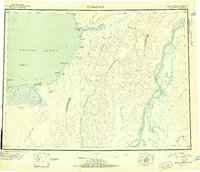
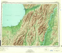
USGS Historical Quadrangle in GeoPDF.

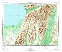
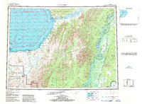
USGS Historical Quadrangle in GeoPDF.

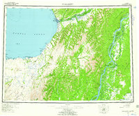
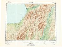
USGS Historical Quadrangle in GeoPDF.
Photogrammetric digital surface models and orthoimagery for 26 coastal communities of western Alaska
The State of Alaska Division of Geological & Geophysical Surveys acquired photogrammetric digital surface models (DSMs) and co-registered orthorectified aerial images (orthoimages) for the west coast of Alaska in support of coastal vulnerability mapping efforts. This report is a summary of the data collected over 26 developed areas along approximately 3,500 km of coastline in the Bering Sea, Norton Sound, and Yukon-Kuskokwim Delta regions (fig. 1). Aerial photographs were collected between July 31 and September 6, 2015, and processed using Structure from- Motion (SfM) photogrammetry techniques. Ground control points (GCPs) and checkpoints were collected in support of these data products during a Global Navigation...
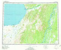
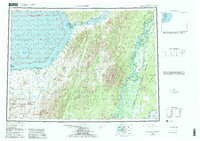
USGS Historical Quadrangle in GeoPDF.
USGS Historical Quadrangle in GeoPDF.
USGS Historical Quadrangle in GeoPDF.
USGS Historical Quadrangle in GeoPDF.
USGS Historical Quadrangle in GeoPDF.
USGS Historical Quadrangle in GeoPDF.
USGS Historical Quadrangle in GeoPDF.

USGS Historical Quadrangle in GeoPDF.
This data release presents nearshore bathymetry data collected at the mouth of the Unalakleet River in Alaska, near the city of Unalakleet. The data were collected in August 2019 by the U.S. Geological Survey, Pacific Coastal and Marine Science Center. Nearshore bathymetry was measured along survey lines from the shore to a depth of approximately -7.4 m NAVD88 and in a portion of the estuary closest to the mouth. Bathymetry data were collected using small boat equipped with a single-beam sonar system and global navigation satellite system (GNSS) receiver. The sonar system consisted of an Odom Echotrac CV-100 single-beam echosounder and 200 kHz transducer with a 9 degree beam. Depths from the seafloor to the echosounder...
Categories: Data;
Tags: Alaska,
Bathymetry and Elevation,
CMHRP,
City of Unalakleet,
Coastal and Marine Hazards and Resources Program,
|

|
