Filters: Tags: Urbana West (X)
5 results (35ms)|
Filters
Date Range
Contacts
Categories Tag Types Tag Schemes |
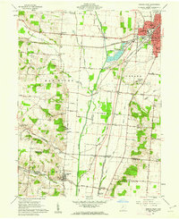
USGS Historical Quadrangle in GeoPDF.
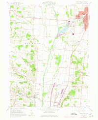
USGS Historical Quadrangle in GeoPDF.
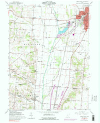
USGS Historical Quadrangle in GeoPDF.
The U.S. Geological Survey is testing deployments of continuous Large-Scale particle Image Velocimetry (LSPIV) streamgaging stations in areas with flashy flow regimes to measure streamflow during flood events. Videos were collected for the purpose of LSPIV streamflow analysis at a stage-discharge streamgaging station in a small, flashy urban stream in Urbana, Illinois, USA (Boneyard Creek at Urbana, IL, 03337000) with an internet protocol (IP) camera. The IP camera is mounted on the bottom of a walkway bridge spanning the creek at the gaging location, and is aimed to view the water for optimal camera perspective at all flow stages. Videos of peak streamflow events with gage height above 12 feet (local gage datum)...
Categories: Data;
Tags: Champaign,
USGS Science Data Catalog (SDC),
Urbana West,
Water Resources,
hydrodynamics,
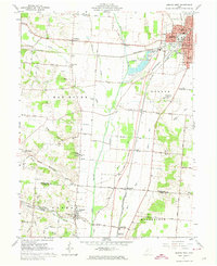
USGS Historical Quadrangle in GeoPDF.
|

|
