Filters: Tags: Vicksburg (X)
21 results (198ms)|
Filters
Date Range
Contacts
Categories Tag Types Tag Schemes |
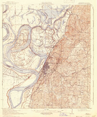
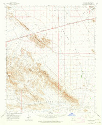
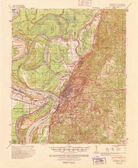
USGS Historical Quadrangle in GeoPDF.
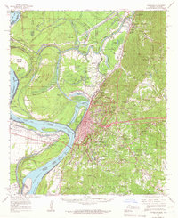
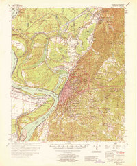
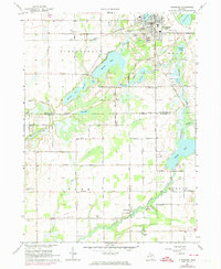
USGS Historical Quadrangle in GeoPDF.
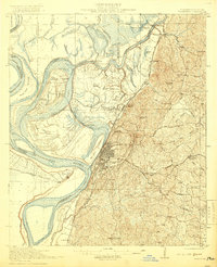
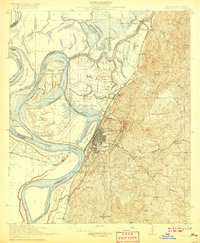
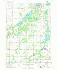
USGS Historical Quadrangle in GeoPDF.
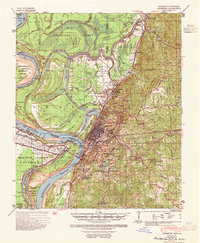
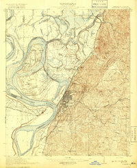
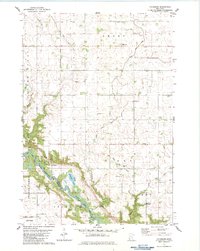
USGS Historical Quadrangle in GeoPDF.
USGS Historical Quadrangle in GeoPDF.
USGS Historical Quadrangle in GeoPDF.
Towed transient electromagnetic (tTEM) data were acquired along levees at select area near Vicksburg, Mississippi during March 2018. During the survey, 13.7 line-kilometers were collected in the focus area. Data were collected by members of the U.S. Geological Survey, Technology Development and Transfer Team, and the Aarhus University Hydrogeophysics Group. tTEM data acquired along the approximately 14 line-kilometers atop and along the toe of a levee near the banks of the Mississippi River in Warren County, Mississippi. Data were collected to characterize the subsurface resistivity structure of levees in support of a technical demonstration for the U.S. Army Corps of Engineers. tTEM data were collected using an...
USGS Historical Quadrangle in GeoPDF.
USGS Historical Quadrangle in GeoPDF.
Data needed to generate hydrolic rating curves of areas along Lower Mississippi River.
USGS Historical Quadrangle in GeoPDF.
USGS Historical Quadrangle in GeoPDF.
USGS Historical Quadrangle in GeoPDF.
USGS Historical Quadrangle in GeoPDF.
These data represent a vegetation map for Vicksburg National Military Park and Vicksburg National Cemetery. The data consist of nonoverlapping polygons which represent National Vegetation Classification vegetation types, and non-vegetated land cover features. Vegetation types were classified based on analysis of plot data and supplemental observations collected on the ground from 2004 through 2010. Polygons were delineated based on interpretation of digital aerial photography flown in 2004 and terrian modeling. More detailed methodology is documented in Lea, Waltermire, and Nordman (2013).
USGS Historical Quadrangle in GeoPDF.
USGS Historical Quadrangle in GeoPDF.
USGS Historical Quadrangle in GeoPDF.
USGS Historical Quadrangle in GeoPDF.
The data set describes the characterization of organosilica nanoparticle thin films used to adsorb PCBs from laboratory water and a sediment collected near Anniston Alabama. Data not shown here for the porewater and sediment PCB concentrations can be found in Appendix 1 of Ingersoll et al. 2014 (http://dx.doi.org/10.3133/sir20135125) Bulk sediment chemistry was obtained from Table A1-3a.Porewater estimated from solid phase microextraction fibers was obtained from Table A1-3c. The concentration of PCB in Lumbriculus variegatus was obtained from Table A1-3e.
|

|
