Filters: Tags: Watch Hill (X)
12 results (47ms)|
Filters
Date Range
Contacts
Categories Tag Types
|
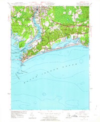
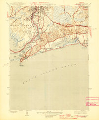
USGS Historical Quadrangle in GeoPDF.
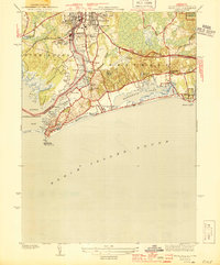
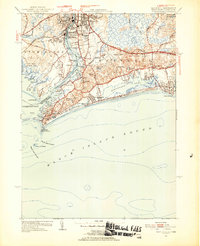
USGS Historical Quadrangle in GeoPDF.
This data release contains meteorological sensor data (6-minute intervals) collected at Great South Bay at Watch Hill on Fire Island (USGS station number, 01305575), New York, from 2017 to 2022. Measured parameters include: air pressure, air temperature, precipitation, relative humidity, solar radiation, wind direction and speed, and wind-gust direction and speed. Data users are encouraged to review the metadata for information on data quality and screening prior to use.
Categories: Data;
Tags: Climatology,
Coastal Science,
Fire Island National Seashore,
Investigation and Monitoring Support,
Long Island,
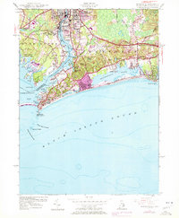
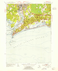
USGS Historical Quadrangle in GeoPDF.
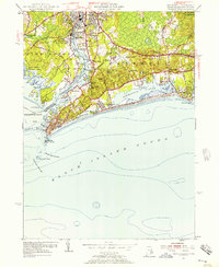
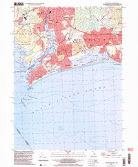
USGS Historical Quadrangle in GeoPDF.
USGS Historical Quadrangle in GeoPDF.
USGS Historical Quadrangle in GeoPDF.
USGS Historical Quadrangle in GeoPDF.
This data release, RI_WRpts.gdb, consists of information from Rhode Island Ground-water maps published by the Rhode Island Water Resources Coordinating Board, the Rhode Island Port and Industrial Development Commission, Rhode Island Industrial Commission, and the Rhode Island Development Council; in cooperation with the U.S. Geological Survey. The point data on these maps have been digitized into a standard ArcGIS geodatabase format. Data about wells and test borings consists of geographic location, identification number, geologic material (bedrock or unconsolidated), altitude in feet of the bedrock surface or altitude of the bottom of well, and data source. Seismic survey locations and bedrock outcrops where they...
USGS Historical Quadrangle in GeoPDF.
USGS Historical Quadrangle in GeoPDF.
USGS Historical Quadrangle in GeoPDF.
|

|
