Filters: Tags: Water Quality (X) > Date Range: {"choice":"year"} (X)
857 results (41ms)|
Filters
Date Types (for Date Range)
Types
Contacts
Categories
Tag Types
|
This data release documents three Microsoft Excel tables (and corresponding comma separated data files) that contain estimates of tritium in precipitation data for the continental United States. Versions of this data release contain additional tritium data for more recent years. The current version has tritium data through 2022. Table 1 contains estimates of tritium in precipitation for precipitation stations located in the continental United States. Measured precipitation data are formatted in regular font while correlated data are italicized. Table 2 contains tritium in precipitation for ninety-six 2-degree latitude by 5-degree longitude quadrangles covering the continental U.S. Latitudes are north of the equator...
Categories: Data,
Data Release - In Progress;
Tags: Tritium,
USGS Science Data Catalog (SDC),
continental United States,
groundwater,
groundwater age,
This dataset is part of the U.S. Geological Survey (USGS) Great Lakes Coastal Wetland Restoration Assessment (GLCWRA) initiative. These data represent the flowline network in the Green Bay Restoration Assessment (GBRA). It is attributed with the number of disconnections (e.g., road crossings) between the reach and Lake Ontario. The more road crossings on a flowline the more disconnected that area is from the lake and the less suitable it will be for restoration. These data help identify the condition of hydrologic separation between potential restoration areas and Lake Ontario. Low numbers represent fewer disconnections, such as culverts, between the reach and the water body requiring no flow network modification...
The Stream Conditions of Chester County Biological Monitoring Network was established by the U.S. Geological Survey and the Chester County Water Resources Authority in 1969. Benthic-macroinvertebrate, habitat, and stream chemistry data were collected annually from 1998-2021 at 18 fixed location sites. Additionally, nine flexible location sites were selected and sampled annually from 1998-2021. Some of the flexible location sites were sampled more than once over the study period. All data were collected in the fall months (October-November) during baseflow conditions. The benthic-macroinvertebrate data collected was used to calculate six metrics and to establish an index of biotic integrity for each sample, while...
From August 2018 to October 2019, the U.S. Geological Survey collected spatially high-resolution water quality data as part of five shoreline synoptic surveys around the perimeters of Owasco, Seneca, and Skaneateles Lakes within the Finger Lakes Region of New York. Water-quality data were collected just below water surface utilizing YSI EXO2 multiparameter sondes and portable nitrate sensors paired with real-time GPS data as part of a HABs monitoring program in the Finger Lakes. In October 2019, water-quality data collection was paired with discrete phytoplankton grab samples on Owasco Lake and Seneca Lake. Phytoplankton grab samples were collected just below water surface with a peristaltic pump at twelve locations...
Types: Map Service,
OGC WFS Layer,
OGC WMS Layer,
OGC WMS Service;
Tags: Aquatic Biology,
Contaminants, HABS,
Finger Lakes,
Limnology,
New York,
This child item data set provides high-resolution, nearshore, spatial water-quality data collected from Owasco Lake, New York, on June 26 and October 8, 2019. All data are reported as raw measured values. Continuous water-quality monitors were mounted to a boat at approximately 0.5-meters below the water surface and used to measure nitrate, chlorophyll fluorescence (fChl), fluorescent dissolved organic matter (fDOM), dissolved oxygen, specific conductance, phycocyanin fluorescence (fPC), turbidity, pH, and temperature.
Categories: Data;
Tags: Contaminants, HABS,
Finger Lakes,
New York,
Owasco Lake,
Surface-Water Quality Monitoring,
These data were released prior to the October 1, 2016 effective date for the USGS’s policy dictating the review, approval, and release of scientific data as referenced in USGS Survey Manual Chapter 502.8 Fundamental Science Practices: Review and Approval of Scientific Data for Release. This map shows specific water-quality items and hydrologic data site information which come from QWDATA (Water Quality) and GWSI (Ground Water Information System). Both QWDATA and GWSI are subsystems of NWIS (National Water Inventory System)of the USGS (United States Geologic Survey). This map is for Uintah County, Utah. The scope and purpose of NWIS is defined on the web site: http://water.usgs.gov/public/pubs/FS/FS-027-98/
These data were released prior to the October 1, 2016 effective date for the USGS’s policy dictating the review, approval, and release of scientific data as referenced in USGS Survey Manual Chapter 502.8 Fundamental Science Practices: Review and Approval of Scientific Data for Release. This map shows specific water-quality items and hydrologic data site information which come from QWDATA (Water Quality) and GWSI (Ground Water Information System). Both QWDATA and GWSI are subsystems of NWIS (National Water Inventory System)of the USGS (United States Geologic Survey). This map is for Daggett County, Utah. The scope and purpose of NWIS is defined on the web site: http://water.usgs.gov/public/pubs/FS/FS-027-98/
This dataset contains all the layers associated with U.S. Geological Survey (USGS) Great Lakes Coastal Wetland Restoration Assessment (GLCWRA) initiative for the Upper Peninsula Restoration Assessment (UPRA) which aims to identify and rank coastal areas with the greatest potential for wetland habitat restoration. Each layer has a unique contribution to the identification of restorable wetlands. The 7 parameters (Parameter 0: Mask, Parameter 1: Hydroperiod, Parameter 2: Wetland Soils, Parameter 3: Flowlines, Parameter 4: Conservation and Recreation Lands, Parameter 5: Impervious Surfaces, and Parameter 6: Land Use) and Index Composite directly correlate to areas that are recommended for restoration. The dikes, degree...
Categories: Data Release - Revised;
Types: GeoTIFF,
Map Service,
OGC WFS Layer,
OGC WMS Layer,
OGC WMS Service;
Tags: Chippewa,
Great Lakes,
Holocene,
Lake Huron,
Lake Michigan,
This dataset documents locations of and water temperature recorded by Hobo Water Temp Pro series loggers (Onset Computer Corp., Bourne, MA) deployed by the USGS Comprehensive Sturgeon Research Project at up to 24 locations in the Lower Missouri River (from the Gavins Point Dam near Yankton, South Dakota to its confluence with the Mississippi River near St. Louis, Missouri) and 13 selected tributaries (James River, Big Sioux River, Little Sioux River, Platte River (in Nebraska), Nishnabotna River, Nodaway River, Platte River (in Missouri), Kansas River, Grand River, Chariton River, Lamine River, Osage River, and Gasconade River) since 2005. Data document the site name, spatial location, temporal extent of water temperature...
Lake Powell retains most of the phosphorus that it receives, leading to downstream phosphorus limitation. These data were compiled to examine controls on phosphorus cycling below Lake Powell in the Colorado River and from storm inputs from the Paria River. Objectives of our study were to determine how several forms of phosphorus, both organic and inorganic, were cycled under varying dissolved oxygen concentrations and pH, reflecting the range of values observed in the river over the years. These data represent nitrogen, phosphorus, calcium, and carbon concentrations, water quality parameters (pH, dissolved oxygen, temperature), sediment composition, total protein, and extracellular enzyme activity (alkaline phosphatase)....
Water availability for human and ecosystem needs is a function of both water quantity and water quality, as described in the U.S. Geological Survey (USGS) Water Science Strategy (Evenson and others, 2013). Recently, a quantitative approach to prioritize candidate watersheds for monitoring investment was developed to understand changes in water availability and advance the objectives of new USGS programs (Van Metre and others, 2020). In this study design, the contiguous United States (CONUS) was divided into 18 regions (referred to here as “hydrologic regions” or “HRs”) with relatively homogeneous hydrologic drivers and processes to represent the wide diversity in conditions that exist across the CONUS. The gap analysis...
Categories: Data;
Tags: Ecology,
Geochemistry,
Hydrology,
USGS Science Data Catalog (SDC),
United States,
This community serves to document data and analysis collected by researchers within the Upper Midwest Water Science Center whose mission is to collect high-quality hydrologic data and conduct unbiased, scientifically sound studies of water resources within the Great Lakes and Upper Mississippi Basins. We strive to meet the changing needs of those who use our information—from the distribution, availability, and quality of our water resources to topic-oriented research that addresses current hydrological issues.
These data were compiled for/to modeling efforts for U.S. Bureau of Reclamation National Environmental Policy Act (NEPA) analyses for the Colorado River in Grand Canyon, Arizona. Objective(s) of our study were to create revised monthly Lake Powell elevations and outflows from Bureau of Reclamation Colorado River Mid-term Modeling System (CRMMS) traces that incorporate the alternatives in the sEIS documents and indicate when potential actions may occur and how that changes water movement and storage. These data represent monthly hydrologies for Lake Powell: inflow, outflow, and elevation forecasts for 2024-2027, as well as volumes of water in outflows for different water mangement strategies in NEPA supplemental...
The High Resolution National Hydrography Dataset Plus (NHDPlus HR) is an integrated set of geospatial data layers, including the best available National Hydrography Dataset (NHD), the 10-meter 3D Elevation Program Digital Elevation Model (3DEP DEM), and the National Watershed Boundary Dataset (WBD). The NHDPlus HR combines the NHD, 3DEP DEMs, and WBD to create a stream network with linear referencing, feature naming, "value added attributes" (VAAs), elevation-derived catchments, and other features for hydrologic data analysis. The stream network with linear referencing is a system of data relationships applied to hydrographic systems so that one stream reach "flows" into another and "events" can be tied to and traced...
The High Resolution National Hydrography Dataset Plus (NHDPlus HR) is an integrated set of geospatial data layers, including the best available National Hydrography Dataset (NHD), the 10-meter 3D Elevation Program Digital Elevation Model (3DEP DEM), and the National Watershed Boundary Dataset (WBD). The NHDPlus HR combines the NHD, 3DEP DEMs, and WBD to create a stream network with linear referencing, feature naming, "value added attributes" (VAAs), elevation-derived catchments, and other features for hydrologic data analysis. The stream network with linear referencing is a system of data relationships applied to hydrographic systems so that one stream reach "flows" into another and "events" can be tied to and traced...
The High Resolution National Hydrography Dataset Plus (NHDPlus HR) is an integrated set of geospatial data layers, including the best available National Hydrography Dataset (NHD), the 10-meter 3D Elevation Program Digital Elevation Model (3DEP DEM), and the National Watershed Boundary Dataset (WBD). The NHDPlus HR combines the NHD, 3DEP DEMs, and WBD to create a stream network with linear referencing, feature naming, "value added attributes" (VAAs), elevation-derived catchments, and other features for hydrologic data analysis. The stream network with linear referencing is a system of data relationships applied to hydrographic systems so that one stream reach "flows" into another and "events" can be tied to and traced...
The High Resolution National Hydrography Dataset Plus (NHDPlus HR) is an integrated set of geospatial data layers, including the best available National Hydrography Dataset (NHD), the 10-meter 3D Elevation Program Digital Elevation Model (3DEP DEM), and the National Watershed Boundary Dataset (WBD). The NHDPlus HR combines the NHD, 3DEP DEMs, and WBD to create a stream network with linear referencing, feature naming, "value added attributes" (VAAs), elevation-derived catchments, and other features for hydrologic data analysis. The stream network with linear referencing is a system of data relationships applied to hydrographic systems so that one stream reach "flows" into another and "events" can be tied to and traced...
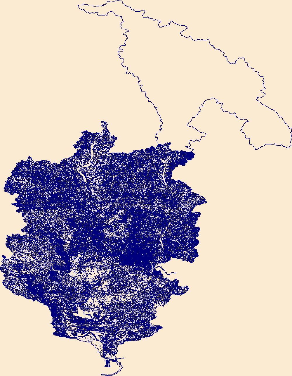
The High Resolution National Hydrography Dataset Plus (NHDPlus HR) is an integrated set of geospatial data layers, including the best available National Hydrography Dataset (NHD), the 10-meter 3D Elevation Program Digital Elevation Model (3DEP DEM), and the National Watershed Boundary Dataset (WBD). The NHDPlus HR combines the NHD, 3DEP DEMs, and WBD to create a stream network with linear referencing, feature naming, "value added attributes" (VAAs), elevation-derived catchments, and other features for hydrologic data analysis. The stream network with linear referencing is a system of data relationships applied to hydrographic systems so that one stream reach "flows" into another and "events" can be tied to and traced...

The High Resolution National Hydrography Dataset Plus (NHDPlus HR) is an integrated set of geospatial data layers, including the best available National Hydrography Dataset (NHD), the 10-meter 3D Elevation Program Digital Elevation Model (3DEP DEM), and the National Watershed Boundary Dataset (WBD). The NHDPlus HR combines the NHD, 3DEP DEMs, and WBD to create a stream network with linear referencing, feature naming, "value added attributes" (VAAs), elevation-derived catchments, and other features for hydrologic data analysis. The stream network with linear referencing is a system of data relationships applied to hydrographic systems so that one stream reach "flows" into another and "events" can be tied to and traced...
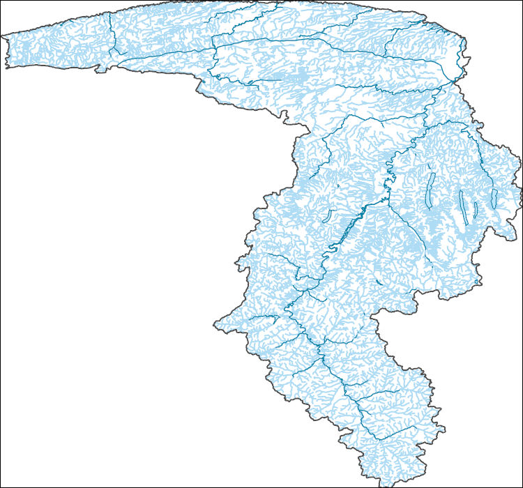
The High Resolution National Hydrography Dataset Plus (NHDPlus HR) is an integrated set of geospatial data layers, including the best available National Hydrography Dataset (NHD), the 10-meter 3D Elevation Program Digital Elevation Model (3DEP DEM), and the National Watershed Boundary Dataset (WBD). The NHDPlus HR combines the NHD, 3DEP DEMs, and WBD to create a stream network with linear referencing, feature naming, "value added attributes" (VAAs), elevation-derived catchments, and other features for hydrologic data analysis. The stream network with linear referencing is a system of data relationships applied to hydrographic systems so that one stream reach "flows" into another and "events" can be tied to and traced...
|

|