Filters: Tags: Wilcox (X)
234 results (338ms)|
Filters
Date Range
Extensions Types Contacts
Categories Tag Types Tag Schemes |
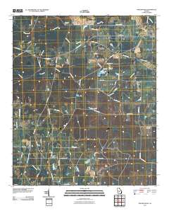
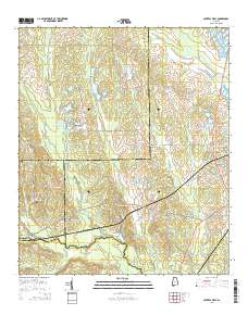
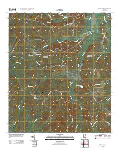
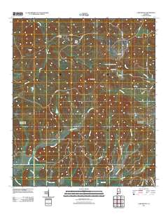
Layered GeoPDF 7.5 Minute Quadrangle Map. Layers of geospatial data include orthoimagery, roads, grids, geographic names, elevation contours, hydrography, and other selected map features.
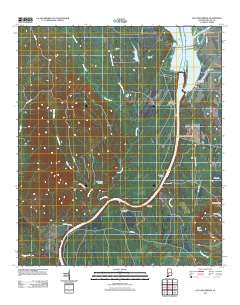
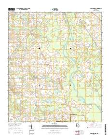
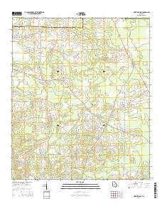
Layered GeoPDF 7.5 Minute Quadrangle Map. Layers of geospatial data include orthoimagery, roads, grids, geographic names, elevation contours, hydrography, and other selected map features.
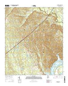
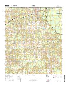
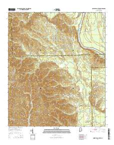
Layered GeoPDF 7.5 Minute Quadrangle Map. Layers of geospatial data include orthoimagery, roads, grids, geographic names, elevation contours, hydrography, and other selected map features.
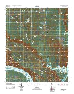
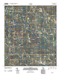
Layered GeoPDF 7.5 Minute Quadrangle Map. Layers of geospatial data include orthoimagery, roads, grids, geographic names, elevation contours, hydrography, and other selected map features.
Layered GeoPDF 7.5 Minute Quadrangle Map. Layers of geospatial data include orthoimagery, roads, grids, geographic names, elevation contours, hydrography, and other selected map features.
Layered GeoPDF 7.5 Minute Quadrangle Map. Layers of geospatial data include orthoimagery, roads, grids, geographic names, elevation contours, hydrography, and other selected map features.
Layered GeoPDF 7.5 Minute Quadrangle Map. Layers of geospatial data include orthoimagery, roads, grids, geographic names, elevation contours, hydrography, and other selected map features.
Layered GeoPDF 7.5 Minute Quadrangle Map. Layers of geospatial data include orthoimagery, roads, grids, geographic names, elevation contours, hydrography, and other selected map features.

The Watershed Boundary Dataset (WBD) is a comprehensive aggregated collection of hydrologic unit data consistent with the national criteria for delineation and resolution. It defines the areal extent of surface water drainage to a point except in coastal or lake front areas where there could be multiple outlets as stated by the "Federal Standards and Procedures for the National Watershed Boundary Dataset (WBD)" "Standard" (https://pubs.usgs.gov/tm/11/a3/). Watershed boundaries are determined solely upon science-based hydrologic principles, not favoring any administrative boundaries or special projects, nor particular program or agency. This dataset represents the hydrologic unit boundaries to the 12-digit (6th level)...

The Geographic Names Information System (GNIS) is the Federal standard for geographic nomenclature. The U.S. Geological Survey developed the GNIS for the U.S. Board on Geographic Names, a Federal inter-agency body chartered by public law to maintain uniform feature name usage throughout the Government and to promulgate standard names to the public. The GNIS is the official repository of domestic geographic names data; the official vehicle for geographic names use by all departments of the Federal Government; and the source for applying geographic names to Federal electronic and printed products of all types.
The Geographic Names Information System (GNIS) is the Federal standard for geographic nomenclature. The U.S. Geological Survey developed the GNIS for the U.S. Board on Geographic Names, a Federal inter-agency body chartered by public law to maintain uniform feature name usage throughout the Government and to promulgate standard names to the public. The GNIS is the official repository of domestic geographic names data; the official vehicle for geographic names use by all departments of the Federal Government; and the source for applying geographic names to Federal electronic and printed products of all types.
Core Research Center, cutting HH01886, from well operated by PIONEER NATURAL RESOURCESRaw Properties from download, web scrape, MapServer, and Macrostrat API{"Lib Num": "HH01886", "API Num": "4228333475", "Operator": "PIONEER NATURAL RESOURCES", "Well Name": "WASHBURN RANCH 01 03H", "Field": "EAGLEVILLE", "State": "TX", "County": "LA SALLE", "Thin Sec": "F", "Analysis": "F", "Latitude": "28.35864", "Longitude": "-98.88636", "coordinates_geohash": "9v19mf91hc9s", "Source": "PROVIDED BY DONOR", "Min": "560", "Max": "17525", "Security Flag": "NO SPECIAL RESTRICTIONS", "crc_collection_name": "cutting", "sb_parent_id": "4f4e49d8e4b07f02db5df2d2", "intervals": [{"Formation": "EAGLE FORD", "Age": "CRETACEOUS", "Min Depth":...
Core Research Center, cutting HH01897, from well operated by PIONEER NATURAL RESOURCESRaw Properties from download, web scrape, MapServer, and Macrostrat API{"Lib Num": "HH01897", "API Num": "4228333911", "Operator": "PIONEER NATURAL RESOURCES", "Well Name": "WASHBURN RANCH 04 03H", "Field": "EAGLEVILLE", "State": "TX", "County": "LA SALLE", "Thin Sec": "F", "Analysis": "F", "Latitude": "28.378772", "Longitude": "-98.918317", "coordinates_geohash": "9v19mn1yk4sb", "Source": "PROVIDED BY DONOR", "Min": "200", "Max": "16710", "Security Flag": "NO SPECIAL RESTRICTIONS", "crc_collection_name": "cutting", "sb_parent_id": "4f4e49d8e4b07f02db5df2d2", "intervals": [{"Formation": "EAGLE FORD", "Age": "CRETACEOUS", "Min Depth":...
Core Research Center, cutting HH01905, from well operated by PIONEER NATURAL RESOURCESRaw Properties from download, web scrape, MapServer, and Macrostrat API{"Lib Num": "HH01905", "API Num": "4229735358", "Operator": "PIONEER NATURAL RESOURCES", "Well Name": "GEORGIA BUCK 01 05H", "Field": "EAGLEVILLE", "State": "TX", "County": "LIVE OAK", "Thin Sec": "F", "Analysis": "F", "Latitude": "28.67482", "Longitude": "-98.24856", "coordinates_geohash": "9v45hk1dftgu", "Source": "PROVIDED BY DONOR", "Min": "2100", "Max": "15370", "Security Flag": "NO SPECIAL RESTRICTIONS", "crc_collection_name": "cutting", "sb_parent_id": "4f4e49d8e4b07f02db5df2d2", "intervals": [{"Formation": "EAGLE FORD", "Age": "CRETACEOUS", "Min Depth":...
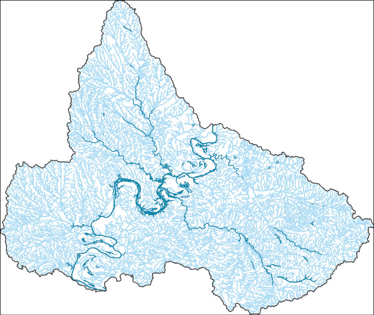
The National Hydrography Dataset (NHD) is a feature-based database that interconnects and uniquely identifies the stream segments or reaches that make up the nation's surface water drainage system. NHD data was originally developed at 1:100,000-scale and exists at that scale for the whole country. This high-resolution NHD, generally developed at 1:24,000/1:12,000 scale, adds detail to the original 1:100,000-scale NHD. (Data for Alaska, Puerto Rico and the Virgin Islands was developed at high-resolution, not 1:100,000 scale.) Local resolution NHD is being developed where partners and data exist. The NHD contains reach codes for networked features, flow direction, names, and centerline representations for areal water...
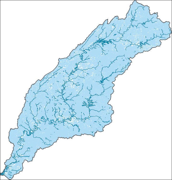
The National Hydrography Dataset (NHD) is a feature-based database that interconnects and uniquely identifies the stream segments or reaches that make up the nation's surface water drainage system. NHD data was originally developed at 1:100,000-scale and exists at that scale for the whole country. This high-resolution NHD, generally developed at 1:24,000/1:12,000 scale, adds detail to the original 1:100,000-scale NHD. (Data for Alaska, Puerto Rico and the Virgin Islands was developed at high-resolution, not 1:100,000 scale.) Local resolution NHD is being developed where partners and data exist. The NHD contains reach codes for networked features, flow direction, names, and centerline representations for areal water...
Layered GeoPDF 7.5 Minute Quadrangle Map. Layers of geospatial data include orthoimagery, roads, grids, geographic names, elevation contours, hydrography, and other selected map features.
Layered GeoPDF 7.5 Minute Quadrangle Map. Layers of geospatial data include orthoimagery, roads, grids, geographic names, elevation contours, hydrography, and other selected map features.
Layered GeoPDF 7.5 Minute Quadrangle Map. Layers of geospatial data include orthoimagery, roads, grids, geographic names, elevation contours, hydrography, and other selected map features.
Layered GeoPDF 7.5 Minute Quadrangle Map. Layers of geospatial data include orthoimagery, roads, grids, geographic names, elevation contours, hydrography, and other selected map features.
|

|
