Filters
Date Range
Extensions
Types
Contacts
Categories
Tag Types
Tag Schemes
|
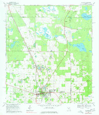
USGS Historical Quadrangle in GeoPDF.
Tags: 7.5 x 7.5 minute,
Downloadable Data,
FL,
GeoPDF,
GeoTIFF, All tags...
Historical Topographic Maps,
Historical Topographic Maps 7.5 x 7.5 Minute Map Series,
Map,
Williston,
imageryBaseMapsEarthCover, Fewer tags
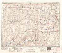
USGS Historical Quadrangle in GeoPDF.
Tags: 1 x 2 degree,
Downloadable Data,
GeoPDF,
GeoTIFF,
Historical Topographic Maps, All tags...
Historical Topographic Maps 1 x 2 Degree Map Series,
Map,
ND,
Williston,
imageryBaseMapsEarthCover, Fewer tags
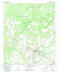
USGS Historical Quadrangle in GeoPDF.
Tags: 7.5 x 7.5 minute,
Downloadable Data,
GeoPDF,
GeoTIFF,
Historical Topographic Maps, All tags...
Historical Topographic Maps 7.5 x 7.5 Minute Map Series,
Map,
SC,
Williston,
imageryBaseMapsEarthCover, Fewer tags
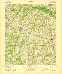
USGS Historical Quadrangle in GeoPDF.
Tags: 15 x 15 minute,
Downloadable Data,
GeoPDF,
GeoTIFF,
Historical Topographic Maps, All tags...
Historical Topographic Maps 15 x 15 Minute Map Series,
Map,
SC,
Williston,
imageryBaseMapsEarthCover, Fewer tags

The electrical conductivity of the earth is used to help infer lithological and pore fluid properties. Various geophysical methods can provide estimates of the distribution of below ground electrical conductivity, with each method having certain limitations. This data release presents raw and processed results from hand-caried frequency domain electromagnetic induction imaging (EMI) data collected from June 27-28 along Blacktail Creek near Williston, North Dakota. Data were primarily collected by walking in the creek or along the riparian zones with the GEM-2 instrument (Geophex, Ltd.) at approximately 0.5 m off the ground in horizontal coplanar (ski flat) mode.
Tags: Groundwater,
North Dakota,
Surface Water,
Williston,
electromagnetic surveying, All tags...
environment,
geophysics,
geoscientific information,
hydrogeology,
hydrology,
inland waters, Fewer tags
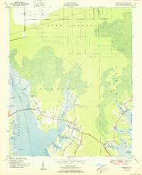
USGS Historical Quadrangle in GeoPDF.
Tags: 7.5 x 7.5 minute,
Downloadable Data,
GeoPDF,
GeoTIFF,
Historical Topographic Maps, All tags...
Historical Topographic Maps 7.5 x 7.5 Minute Map Series,
Map,
NC,
Williston,
imageryBaseMapsEarthCover, Fewer tags
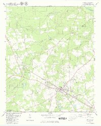
USGS Historical Quadrangle in GeoPDF.
Tags: 7.5 x 7.5 minute,
Downloadable Data,
GeoPDF,
GeoTIFF,
Historical Topographic Maps, All tags...
Historical Topographic Maps 7.5 x 7.5 Minute Map Series,
Map,
South Carolina,
Williston,
imageryBaseMapsEarthCover, Fewer tags
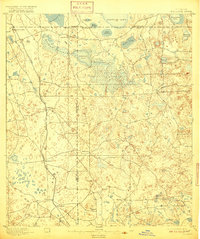
USGS Historical Quadrangle in GeoPDF.
Tags: 15 x 15 minute,
Downloadable Data,
FL,
GeoPDF,
GeoTIFF, All tags...
Historical Topographic Maps,
Historical Topographic Maps 15 x 15 Minute Map Series,
Map,
Williston,
imageryBaseMapsEarthCover, Fewer tags
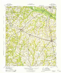
USGS Historical Quadrangle in GeoPDF.
Tags: 15 x 15 minute,
Downloadable Data,
GeoPDF,
GeoTIFF,
Historical Topographic Maps, All tags...
Historical Topographic Maps 15 x 15 Minute Map Series,
Map,
SC,
Williston,
imageryBaseMapsEarthCover, Fewer tags

The extraction of unconventional oil and gas (UOG) resources often produces highly saline waste waters, which can be released to the river corridor environment during spills and pipe leakage. In North Dakota, USA more than 8,000 spills were recorded from 2008-2015, and more than half of those spills were related to pipelines. Data collected for this study were related to UOG wastewater leakage from a pipeline into a creek in the Williston Basin, North Dakota discovered on the January 6th, 2015. Although the spill was followed by extensive remediation efforts, we conducted geophysical surveys in June 2017 to assess the potential for waste water retention along the Blacktail Creek corridor as part of a larger evaluation...
Tags: Geoscientific information,
Groundwater,
Inland Waters,
North Dakota,
Surface Water, All tags...
Thermal,
USGS Science Data Catalog (SDC),
Williston,
electrical resistivity imaging,
electromagnetic surveying,
environment,
geophysics,
hydrogeology,
hydrology, Fewer tags
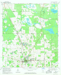
USGS Historical Quadrangle in GeoPDF.
Tags: 7.5 x 7.5 minute,
Downloadable Data,
FL,
GeoPDF,
GeoTIFF, All tags...
Historical Topographic Maps,
Historical Topographic Maps 7.5 x 7.5 Minute Map Series,
Map,
Williston,
imageryBaseMapsEarthCover, Fewer tags
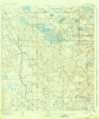
USGS Historical Quadrangle in GeoPDF.
Tags: 15 x 15 minute,
Downloadable Data,
FL,
GeoPDF,
GeoTIFF, All tags...
Historical Topographic Maps,
Historical Topographic Maps 15 x 15 Minute Map Series,
Map,
Williston,
imageryBaseMapsEarthCover, Fewer tags
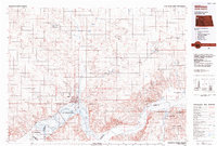
USGS Historical Quadrangle in GeoPDF.
Tags: 30 x 60 minute,
Downloadable Data,
GeoPDF,
GeoTIFF,
Historical Topographic Maps, All tags...
Historical Topographic Maps 30 x 60 Minute Map Series,
Map,
ND,
Williston,
imageryBaseMapsEarthCover, Fewer tags
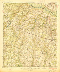
USGS Historical Quadrangle in GeoPDF.
Tags: 15 x 15 minute,
Downloadable Data,
GeoPDF,
GeoTIFF,
Historical Topographic Maps, All tags...
Historical Topographic Maps 15 x 15 Minute Map Series,
Map,
SC,
Williston,
imageryBaseMapsEarthCover, Fewer tags

These data were released prior to the October 1, 2016 effective date for the USGS’s policy dictating the review, approval, and release of scientific data as referenced in USGS Survey Manual Chapter 502.8 Fundamental Science Practices: Review and Approval of Scientific Data for Release. These data represent the interpretations from borehole electric (resistivity) logs from oil and gas wells and lithologic logs from nearby water wells. These interpretations were used to build the hydrogeologic framework in the Williston structural basin. The resistivity logs were used to identify the hydrogeologic units (fig. 3A of SIR 2014-5047) and to quantify the vertical detailed lithology (thickness of sand, coal, gravel, silt,...
Tags: Groundwater,
Hydrogeology,
Lithology,
Lower Tertiary,
Montana, All tags...
NSDI,
North Dakota,
Saskatchewan, Canada,
South Dakota,
USGS Science Data Catalog (SDC),
Upper Cretaceous,
Williston,
Williston Basin,
Williston basin, Fewer tags
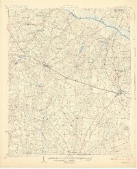
USGS Historical Quadrangle in GeoPDF.
Tags: 15 x 15 minute,
Downloadable Data,
GeoPDF,
GeoTIFF,
Historical Topographic Maps, All tags...
Historical Topographic Maps 15 x 15 Minute Map Series,
Map,
South Carolina,
Williston,
imageryBaseMapsEarthCover, Fewer tags
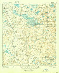
USGS Historical Quadrangle in GeoPDF.
Tags: 15 x 15 minute,
Downloadable Data,
FL,
GeoPDF,
GeoTIFF, All tags...
Historical Topographic Maps,
Historical Topographic Maps 15 x 15 Minute Map Series,
Map,
Williston,
imageryBaseMapsEarthCover, Fewer tags
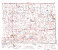
USGS Historical Quadrangle in GeoPDF.
Tags: 1 x 2 degree,
Downloadable Data,
GeoPDF,
GeoTIFF,
Historical Topographic Maps, All tags...
Historical Topographic Maps 1 x 2 Degree Map Series,
Map,
ND,
Williston,
imageryBaseMapsEarthCover, Fewer tags
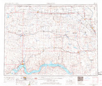
USGS Historical Quadrangle in GeoPDF.
Tags: 1 x 2 degree,
Downloadable Data,
GeoPDF,
GeoTIFF,
Historical Topographic Maps, All tags...
Historical Topographic Maps 1 x 2 Degree Map Series,
Map,
ND,
Williston,
imageryBaseMapsEarthCover, Fewer tags

The USGS Central Region Energy Team assesses oil and gas resources of the United States. The onshore and State water areas of the United States comprise 71 provinces. Within these provinces, Total Petroleum Systems are defined and Assessment Units are defined and assessed. Each of these provinces is defined geologically, and most province boundaries are defined by major geologic changes. The Williston Basin Province is located in North Dakota, eastern Montana, and northwestern South Dakota, encompassing all or parts of Divide, Burke, Renville, Bottineau, Rolette, Towner, Cavalier, Pembina, Walsh, Grand Forks, Nelson, Ramsey, Benson, Eddy, Foster, Wells, Griggs, Steele, Traill, Cass, Barnes, Ransom, Richland, Sergeant,...
Categories: Data,
pre-SM502.8;
Types: Downloadable,
Map Service,
OGC WFS Layer,
OGC WMS Layer,
Shapefile;
Tags: 31 = Williston Basin,
503101 = Bakken - Lodgepole,
50310101 = Middle Member Sandstone,
50310161 = Elm Coulee - Billings Nose,
50310162 = Central Basin - Poplar Dome, All tags...
50310163 = Nesson - Nittle Knife Structural,
50310164 = Eastern Expulsion Threshold,
50310165 = Northwest Expulsion Threshold,
Bakken Formation,
Earth Science,
Economic geology,
Energy Resources,
Geology,
MT,
ND,
National Assessment of Oil and Gas,
Natural Gas,
Natural Resources,
Natural gas resources,
Northern Great Plains,
Oil,
Oil Shale,
Oil sand resources,
Oil shale resources,
Petroleum,
Pollastro, R.M.,
Province,
Resource Assessment,
SD,
U.S. Geological Survey,
US30 = Montana,
US38 = North Dakota,
US46 = South Dakota,
USGS,
USGS Science Data Catalog (SDC),
USGS World Energy Region 5,
USGS World Energy Region 5,
United States,
Williston,
geoscientificInformation,
noga2000,
nogawilliston,
oilgas, Fewer tags
|
|

