Filters: Tags: Woodrow (X)
9 results (103ms)|
Filters
Date Range
Contacts
Tag Types Tag Schemes
|
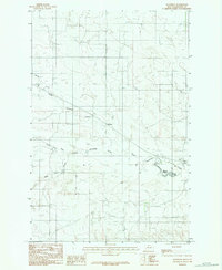
USGS Historical Quadrangle in GeoPDF.
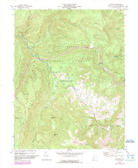
USGS Historical Quadrangle in GeoPDF.
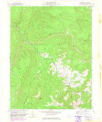
USGS Historical Quadrangle in GeoPDF.
USGS Historical Quadrangle in GeoPDF.
USGS Historical Quadrangle in GeoPDF.
USGS Historical Quadrangle in GeoPDF.
The State of Alaska Division of Geological & Geophysical Surveys (DGGS) produced a digital surface model (DSM) and an orthorectified aerial optical image mosaic (orthoimagery) of the Resurrection Bay watershed, surrounding the city of Seward in south-central Alaska. Aerial photographs and Global Navigation Satellite System (GNSS) data were collected on August 13, 2015, and were processed using Structure-from-Motion (SfM) photogrammetric techniques to create the DSM and orthoimagery. All data are projected in UTM Zone 6 North (meters) using the NAD83 (2011; EPSG 26906) horizontal datum and NAVD88 (Geoid12A; EPOCH 2010.00) vertical datum. The project was part of an ongoing investigation of the impact of flooding,...
The State of Alaska Division of Geological & Geophysical Surveys (DGGS) produced a digital surface model (DSM) and an orthorectified aerial optical image mosaic (orthoimagery) of the Resurrection Bay watershed, surrounding the city of Seward in south-central Alaska. Aerial photographs and Global Navigation Satellite System (GNSS) data were collected on August 13, 2015, and were processed using Structure-from-Motion (SfM) photogrammetric techniques to create the DSM and orthoimagery. All data are projected in UTM Zone 6 North (meters) using the NAD83 (2011; EPSG 26906) horizontal datum and NAVD88 (Geoid12A; EPOCH 2010.00) vertical datum. The project was part of an ongoing investigation of the impact of flooding,...
USGS Historical Quadrangle in GeoPDF.
|

|
