Filters: Tags: Woods Hole (X)
17 results (46ms)|
Filters
Date Range
Types Contacts
Categories Tag Types
|
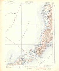
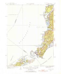
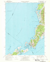
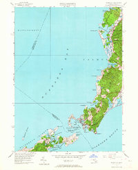
USGS Historical Quadrangle in GeoPDF.
Low-altitude (80 and 100 meters above ground level) digital images were collected at Sage Lot Pond in Waquoit, Massachusetts, two sites on the Mill River in Taunton, MA, Great Marsh in Barnstable, MA, the Wells National Estuarine Research Reserve in Wells, ME, and on the Woods Hole Oceanographic Institution Quissett Campus in Woods Hole, MA using 3DR Solo unoccupied aircraft systems (UAS) during 2018. These images were collected to support science and data needs in wetland research, topographic mapping, and landcover detection at the U.S. Geological Survey Woods Hole Coastal and Marine Science Center. The imagery and associated ground control points can be used to create Digital Elevation Models (DEMs), orthoimages,...
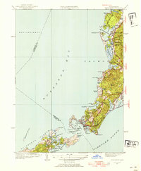
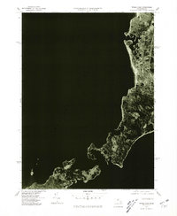
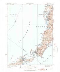
USGS Historical Quadrangle in GeoPDF.
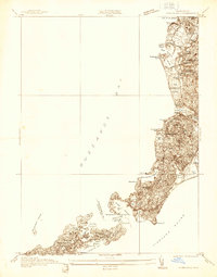
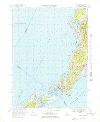
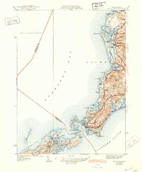
USGS Historical Quadrangle in GeoPDF.
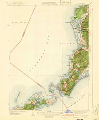
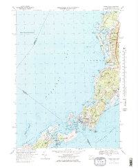
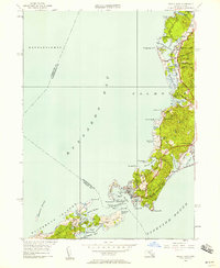
USGS Historical Quadrangle in GeoPDF.
Integrated terrain models covering 16,357 square kilometers of the Massachusetts coastal zone and offshore waters were built to provide a continuous elevation and bathymetry terrain model for ocean planning purposes. The area is divided into the following four geographical areas to reduce file size and facilitate publishing: Massachusetts Bay from the Massachusetts-New Hampshire border south to Provincetown and Scituate and east to Stellwagen Bank; Cape Cod Bay from Provincetown to Scituate and south to Hyannis; Buzzards Bay from the Cape Cod Canal southwest to the State border including the Elizabeth Islands and extending north to Fall River and Mount Hope Bay; and Nantucket and Vineyard Sounds, from Hyannis south...
Types: Map Service,
OGC WFS Layer,
OGC WMS Layer,
OGC WMS Service;
Tags: Barnstable County,
Bristol County,
Buzzards Bay,
CZM,
Cape Cod Canal,
USGS Historical Quadrangle in GeoPDF.
USGS Historical Quadrangle in GeoPDF.
USGS Historical Quadrangle in GeoPDF.
USGS Historical Quadrangle in GeoPDF.
USGS Historical Quadrangle in GeoPDF.
USGS Historical Quadrangle in GeoPDF.
Low-altitude (80 and 100 meters above ground level) digital images were collected at Sage Lot Pond in Waquoit, Massachusetts, two sites on the Mill River in Taunton, MA, Great Marsh in Barnstable, MA, the Wells National Estuarine Research Reserve in Wells, ME, and on the Woods Hole Oceanographic Institution Quissett Campus in Woods Hole, MA using 3DR Solo unoccupied aircraft systems (UAS) during 2018. These images were collected to support science and data needs in wetland research, topographic mapping, and landcover detection at the U.S. Geological Survey Woods Hole Coastal and Marine Science Center. The imagery and associated ground control points can be used to create Digital Elevation Models (DEMs), orthoimages,...
Categories: Data,
Image;
Tags: 3DR Solo quadcopter,
Barnstable,
Barnstable Harbor,
Britannia,
CMHRP,
USGS Historical Quadrangle in GeoPDF.
USGS Historical Quadrangle in GeoPDF.
|

|
