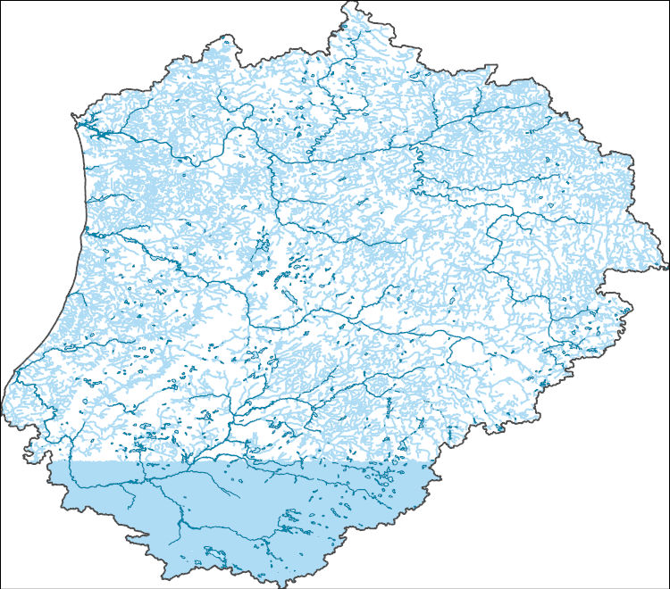
Filters: Tags: inland waters (X)
589 results (20ms)|
Filters
Date Range
Extensions Types Contacts
Categories Tag Types
|
The High Resolution National Hydrography Dataset Plus (NHDPlus HR) is an integrated set of geospatial data layers, including the best available National Hydrography Dataset (NHD), the 10-meter 3D Elevation Program Digital Elevation Model (3DEP DEM), and the National Watershed Boundary Dataset (WBD). The NHDPlus HR combines the NHD, 3DEP DEMs, and WBD to create a stream network with linear referencing, feature naming, "value added attributes" (VAAs), elevation-derived catchments, and other features for hydrologic data analysis. The stream network with linear referencing is a system of data relationships applied to hydrographic systems so that one stream reach "flows" into another and "events" can be tied to and traced...

The High Resolution National Hydrography Dataset Plus (NHDPlus HR) is an integrated set of geospatial data layers, including the best available National Hydrography Dataset (NHD), the 10-meter 3D Elevation Program Digital Elevation Model (3DEP DEM), and the National Watershed Boundary Dataset (WBD). The NHDPlus HR combines the NHD, 3DEP DEMs, and WBD to create a stream network with linear referencing, feature naming, "value added attributes" (VAAs), elevation-derived catchments, and other features for hydrologic data analysis. The stream network with linear referencing is a system of data relationships applied to hydrographic systems so that one stream reach "flows" into another and "events" can be tied to and traced...
The High Resolution National Hydrography Dataset Plus (NHDPlus HR) is an integrated set of geospatial data layers, including the best available National Hydrography Dataset (NHD), the 10-meter 3D Elevation Program Digital Elevation Model (3DEP DEM), and the National Watershed Boundary Dataset (WBD). The NHDPlus HR combines the NHD, 3DEP DEMs, and WBD to create a stream network with linear referencing, feature naming, "value added attributes" (VAAs), elevation-derived catchments, and other features for hydrologic data analysis. The stream network with linear referencing is a system of data relationships applied to hydrographic systems so that one stream reach "flows" into another and "events" can be tied to and traced...
This dataset contains water surface elevations for the wetlands in the Cottonwood Lake Study Area, Stutsman County, North Dakota.
Categories: Data;
Tags: Climatic change,
Cottonwood Lake Study Area,
Ecology,
Effects of climate change,
Floods,
These data are high-resolution bathymetry (riverbed elevation) and depth-averaged velocities in ASCII format, generated from hydrographic and velocimetric surveys of the Missouri River near Structure A1800 on Interstate 635 in Kansas City, Missouri, in 2010, 2011, and 2015. Hydrographic data were collected using a high-resolution multibeam echosounder mapping system (MBMS), which consists of a multibeam echosounder (MBES) and an inertial navigation system (INS) mounted on a marine survey vessel. Data were collected as the vessel traversed the river along planned survey lines distributed throughout the reach. Data collection software integrated and stored the depth data from the MBES and the horizontal and vertical...
These data are high-resolution bathymetry (riverbed elevation) and depth-averaged velocities in ASCII format, generated from hydrographic and velocimetric surveys of the Missouri River near Structure A7650 on Interstate 35 in Kansas City, Missouri, in 2010, 2011, and 2015. Hydrographic data were collected using a high-resolution multibeam echosounder mapping system (MBMS), which consists of a multibeam echosounder (MBES) and an inertial navigation system (INS) mounted on a marine survey vessel. Data were collected as the vessel traversed the river along planned survey lines distributed throughout the reach. Data collection software integrated and stored the depth data from the MBES and the horizontal and vertical...
These data are high-resolution bathymetry (riverbed elevation) and depth-averaged velocities in ASCII format, generated from hydrographic and velocimetric surveys of the Missouri River near Structure K0999 on Missouri State Highway 41 at Miami, Missouri, in 2011, 2013, and 2017. Hydrographic data were collected using a high-resolution multibeam echosounder mapping system (MBMS), which consists of a multibeam echosounder (MBES) and an inertial navigation system (INS) mounted on a marine survey vessel. Data were collected as the vessel traversed the river along planned survey lines distributed throughout the reach. Data collection software integrated and stored the depth data from the MBES and the horizontal and vertical...
U.S. Geological Survey Northwest and Pacific Islands Region inland bathymetric survey data are compiled to create a survey inventory providing survey records including survey system and product information, and links to survey datasets when available. Dataset footprints including this information and showing the location and extent of surveys can be downloaded as a shapefile or geodatabase and can be accessed through Spatial Services provided here.
Categories: Data;
Types: ArcGIS REST Map Service,
ArcGIS Service Definition,
Downloadable,
Map Service;
Tags: Acoustic Sonar,
Bathymetry,
Coastal Zone,
Echo sounder,
Hydrography,
Topographic data were collected at Hise Hill Recreation Center on the Petit Jean River about 2 miles upstream from Blue Mountain Lake on March 3, 2020, using terrestrial light detection and ranging (T-lidar), Global Navigation Satellite System (GNSS), and conventional surveying techniques. These data are high-resolution topography in laser scan format, collected using a tripod mounted T-lidar at multiple scan setups. Data collection software integrated and stored the range and angular measurements from the T-lidar equipment. Computer software was used to process the raw data, align the various scans in reference to one another, classify the data, and extract the topography data in a useable format. The data were...
|

|
