Filters: Tags: inlandWaters (X) > partyWithName: U.S. Geological Survey (X)
11,337 results (66ms)|
Filters
Date Range
Extensions Types Contacts
Categories
Tag Types
|
This dataset contains the Flow Accumulation (FA) grid for the Asian continent from the Hydrologic Derivatives for Modeling and Analysis (HDMA) database. The DEM data were developed and distributed by processing units. There are 19 processing units for Asia. The distribution files have the number of the processing unit appended to the end of the zip file name (e.g. as_dem_3_2.zip contains the DEM data for unit 3-2). The HDMA database provides comprehensive and consistent global coverage of raster and vector topographically derived layers, including raster layers of digital elevation model (DEM) data, flow direction, flow accumulation, slope, and compound topographic index (CTI); and vector layers of streams and catchment...
This dataset contains the Digital Elevation Model (DEM) for Australasia from the Hydrologic Derivatives for Modeling and Analysis (HDMA) database. The data were developed and distributed by processing units. There are 11 processing units for Australasia. The distribution files have the number of the processing unit appended to the end of the zip file name (e.g. au_dem_3_2.zip contains the DEM data for unit 3-2). The HDMA database provides comprehensive and consistent global coverage of raster and vector topographically derived layers, including raster layers of digital elevation model (DEM) data, flow direction, flow accumulation, slope, and compound topographic index (CTI); and vector layers of streams and catchment...
The glacial aquifer system of the United States encompasses all or parts of 25 states and is the most widely used supply of drinking water in the Nation (Maupin and Barber, 2005; Maupin and Arnold, 2010). A series of seven raster data sets were derived from a database of water-well drillers' records that was compiled in partial fulfillment of the goals of the U.S. Geological Survey’s Groundwater Availability and Use assessment program (U.S. Geological Survey, 2002). They contain hydrogeologic information for areas of the U.S. that are north of the southern limit of Pleistocene glaciation, including the total thickness of glacial deposits, thickness of coarse-grained sediment within the glacial deposits, specific-capacity...
This dataset contains the Digital Elevation Model (DEM) for Africa from the Hydrologic Derivatives for Modeling and Analysis (HDMA) database. The DEM data were developed and distributed by processing units. There are 19 processing units for Africa. The distribution files have the number of the processing unit appended to the end of the zip file name (e.g. af_dem_3_2.zip contains the DEM data for unit 3-2). The HDMA database provides comprehensive and consistent global coverage of raster and vector topographically derived layers, including raster layers of digital elevation model (DEM) data, flow direction, flow accumulation, slope, and compound topographic index (CTI); and vector layers of streams and catchment...
This dataset consists of the boundary extent used to evaluate regolith thickness, bedrock altitude, depth to water, potentiometric-surface altitude, and saturated thickness for the shallow groundwater system in the Lower Gunnison River Basin, in Delta, Montrose, Ouray, and Gunnison Counties, Colorado. The U.S. Geological Survey prepared this dataset in cooperation with the Colorado Water Conservation Board.
Categories: Data;
Types: Downloadable,
Map Service,
OGC WFS Layer,
OGC WMS Layer,
Shapefile;
Tags: Colorado,
Delta,
Gunnison,
Montrose,
Ouray,
The glacial aquifer system of the United States encompasses all or parts of 25 states and is the most widely used supply of drinking water in the Nation (Maupin and Barber, 2005; Maupin and Arnold, 2010). A series of seven raster data sets were derived from a database of water-well drillers' records that was compiled in partial fulfillment of the goals of the U.S. Geological Survey’s Groundwater Availability and Use assessment program (U.S. Geological Survey, 2002). They contain hydrogeologic information for areas of the U.S. that are north of the southern limit of Pleistocene glaciation, including the total thickness of glacial deposits, thickness of coarse-grained sediment within the glacial deposits, specific-capacity...
This contains the Australasian portion of the Hydrologic Derivatives for Modeling and Analysis (HDMA) database. The HDMA database provides comprehensive and consistent global coverage of raster and vector topographically derived layers, including raster layers of digital elevation model (DEM) data, flow direction, flow accumulation, slope, and compound topographic index (CTI); and vector layers of streams and catchment boundaries. The coverage of the data is global (-180º, 180º, -90º, 90º) with the underlying DEM being a hybrid of three datasets: HydroSHEDS (Hydrological data and maps based on SHuttle Elevation Derivatives at multiple Scales), Global Multi-resolution Terrain Elevation Data 2010 (GMTED2010) and the...
This Benthic Invertebrate Community Analysis dataset, a conceptual subgroup of the Lake Erie Ecological Investigations (LEEI) dataset, focuses on the benthic invertebrates sampled at Areas of Concern (AOCs) on Lake Erie. Per the Quality Assurance Project Plan (QAPP), the invertebrate samples were taken from sediments remaining from the sediment analysis. Identification of the invertebrates was completed by the same invertebrate taxonomist for both the 1998-2000 evaluation and 1986-87 historical evaluation (Smith et al. 1994) for increased consistency. Oligochaetes were identified to species if possible, chironomids were identified to genus, as adult specimens are needed for specific identification, and other taxa...
All gillnet data represented here expand upon vessel operations (OP table) data, all of which are collected by the United States Geological Survey, Great Lakes Science Center and its partners. The Gillnet Tables contain data collected from the research vessel deploying various gear used for gillnet data collection. The database uses sample_type to indicate the gear deployed. The tables relating to Gillnet are: GN_Annulus.csv, GN_Catch.csv, GN_Effort.csv, GN_Fish.csv, GN_L, GN_LF.csv, GN_OP.csv, GN_Prey.csv, GN_Stomach.csv, LMMB_Fish_Prey.csv, and LMMB_Invert_Prey.csv Data Quality: Note that the following data release is a snapshot of the database at the time of release. Some data quality checks are still being...

The National Hydrography Dataset (NHD) is a feature-based database that interconnects and uniquely identifies the stream segments or reaches that make up the nation's surface water drainage system. NHD data was originally developed at 1:100,000-scale and exists at that scale for the whole country. This high-resolution NHD, generally developed at 1:24,000/1:12,000 scale, adds detail to the original 1:100,000-scale NHD. (Data for Alaska, Puerto Rico and the Virgin Islands was developed at high-resolution, not 1:100,000 scale.) Local resolution NHD is being developed where partners and data exist. The NHD contains reach codes for networked features, flow direction, names, and centerline representations for areal water...
Statistical analyses and maps representing mean, high, and low water-level conditions in the surface water and groundwater of Miami-Dade County were made by the U.S. Geological Survey, in cooperation with the Miami-Dade County Department of Regulatory and Economic Resources, to help inform decisions necessary for urban planning and development. Sixteen maps were created that show contours of (1) the mean of daily water levels at each site during October and May for the 2000-2009 water years; (2) the 25th, 50th, and 75th percentiles of the daily water levels at each site during October and May and for all months during 2000-2009; and (3) the differences between mean October and May water levels, as well as the differences...
Categories: Data;
Types: Downloadable,
Map Service,
OGC WFS Layer,
OGC WMS Layer,
Shapefile;
Tags: Biscayne Bay,
Biscayne aquifer,
Florida,
Florida Bay,
Miami-Dade County,
Within large-river ecosystems, floodplains serve a variety of important ecological functions. A recent survey of 80 managers of floodplain conservation lands along the Upper and Middle Mississippi and Lower Missouri Rivers in the central United States found that the most critical information needed to improve floodplain management centered on metrics for characterizing depth, extent, frequency, duration, and timing of inundation. These metrics can be delivered to managers efficiently through cloud-based interactive maps. To calculate these metrics, we interpolated an existing one-dimensional HEC-RAS hydraulic model for the Lower Missouri River, which simulated water surface elevations at cross sections spaced (<1...
Categories: Data;
Types: Downloadable,
GeoTIFF,
Map Service,
Raster;
Tags: Iowa,
Kansas,
Lower Missouri,
Missouri,
Nebraska,
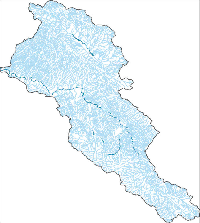
The National Hydrography Dataset (NHD) is a feature-based database that interconnects and uniquely identifies the stream segments or reaches that make up the nation's surface water drainage system. NHD data was originally developed at 1:100,000-scale and exists at that scale for the whole country. This high-resolution NHD, generally developed at 1:24,000/1:12,000 scale, adds detail to the original 1:100,000-scale NHD. (Data for Alaska, Puerto Rico and the Virgin Islands was developed at high-resolution, not 1:100,000 scale.) Local resolution NHD is being developed where partners and data exist. The NHD contains reach codes for networked features, flow direction, names, and centerline representations for areal water...

The National Hydrography Dataset (NHD) is a feature-based database that interconnects and uniquely identifies the stream segments or reaches that make up the nation's surface water drainage system. NHD data was originally developed at 1:100,000-scale and exists at that scale for the whole country. This high-resolution NHD, generally developed at 1:24,000/1:12,000 scale, adds detail to the original 1:100,000-scale NHD. (Data for Alaska, Puerto Rico and the Virgin Islands was developed at high-resolution, not 1:100,000 scale.) Local resolution NHD is being developed where partners and data exist. The NHD contains reach codes for networked features, flow direction, names, and centerline representations for areal water...
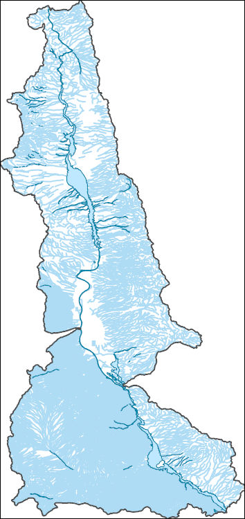
The National Hydrography Dataset (NHD) is a feature-based database that interconnects and uniquely identifies the stream segments or reaches that make up the nation's surface water drainage system. NHD data was originally developed at 1:100,000-scale and exists at that scale for the whole country. This high-resolution NHD, generally developed at 1:24,000/1:12,000 scale, adds detail to the original 1:100,000-scale NHD. (Data for Alaska, Puerto Rico and the Virgin Islands was developed at high-resolution, not 1:100,000 scale.) Local resolution NHD is being developed where partners and data exist. The NHD contains reach codes for networked features, flow direction, names, and centerline representations for areal water...
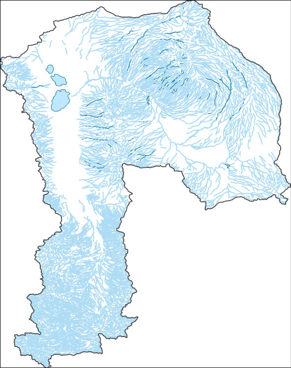
The National Hydrography Dataset (NHD) is a feature-based database that interconnects and uniquely identifies the stream segments or reaches that make up the nation's surface water drainage system. NHD data was originally developed at 1:100,000-scale and exists at that scale for the whole country. This high-resolution NHD, generally developed at 1:24,000/1:12,000 scale, adds detail to the original 1:100,000-scale NHD. (Data for Alaska, Puerto Rico and the Virgin Islands was developed at high-resolution, not 1:100,000 scale.) Local resolution NHD is being developed where partners and data exist. The NHD contains reach codes for networked features, flow direction, names, and centerline representations for areal water...
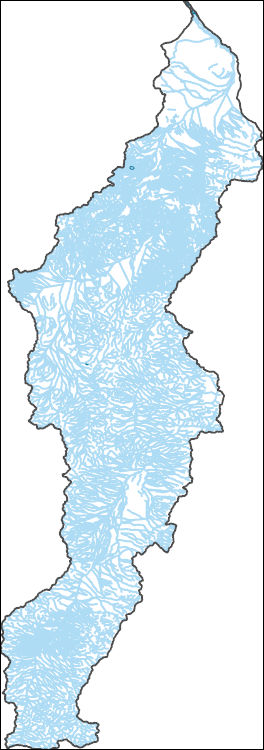
The National Hydrography Dataset (NHD) is a feature-based database that interconnects and uniquely identifies the stream segments or reaches that make up the nation's surface water drainage system. NHD data was originally developed at 1:100,000-scale and exists at that scale for the whole country. This high-resolution NHD, generally developed at 1:24,000/1:12,000 scale, adds detail to the original 1:100,000-scale NHD. (Data for Alaska, Puerto Rico and the Virgin Islands was developed at high-resolution, not 1:100,000 scale.) Local resolution NHD is being developed where partners and data exist. The NHD contains reach codes for networked features, flow direction, names, and centerline representations for areal water...
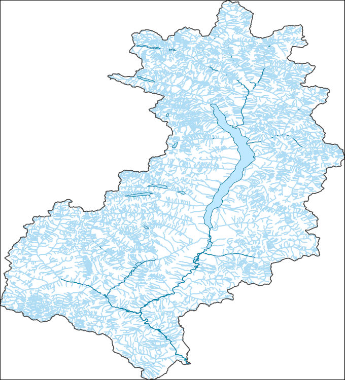
The National Hydrography Dataset (NHD) is a feature-based database that interconnects and uniquely identifies the stream segments or reaches that make up the nation's surface water drainage system. NHD data was originally developed at 1:100,000-scale and exists at that scale for the whole country. This high-resolution NHD, generally developed at 1:24,000/1:12,000 scale, adds detail to the original 1:100,000-scale NHD. (Data for Alaska, Puerto Rico and the Virgin Islands was developed at high-resolution, not 1:100,000 scale.) Local resolution NHD is being developed where partners and data exist. The NHD contains reach codes for networked features, flow direction, names, and centerline representations for areal water...
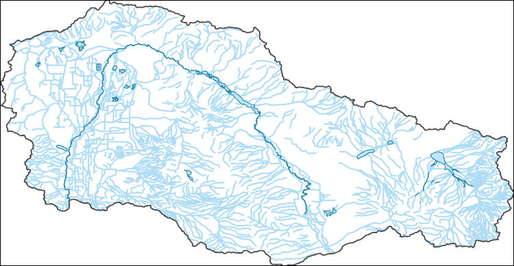
The National Hydrography Dataset (NHD) is a feature-based database that interconnects and uniquely identifies the stream segments or reaches that make up the nation's surface water drainage system. NHD data was originally developed at 1:100,000-scale and exists at that scale for the whole country. This high-resolution NHD, generally developed at 1:24,000/1:12,000 scale, adds detail to the original 1:100,000-scale NHD. (Data for Alaska, Puerto Rico and the Virgin Islands was developed at high-resolution, not 1:100,000 scale.) Local resolution NHD is being developed where partners and data exist. The NHD contains reach codes for networked features, flow direction, names, and centerline representations for areal water...
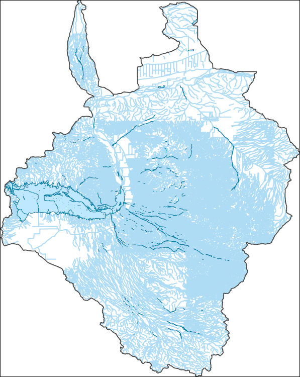
The National Hydrography Dataset (NHD) is a feature-based database that interconnects and uniquely identifies the stream segments or reaches that make up the nation's surface water drainage system. NHD data was originally developed at 1:100,000-scale and exists at that scale for the whole country. This high-resolution NHD, generally developed at 1:24,000/1:12,000 scale, adds detail to the original 1:100,000-scale NHD. (Data for Alaska, Puerto Rico and the Virgin Islands was developed at high-resolution, not 1:100,000 scale.) Local resolution NHD is being developed where partners and data exist. The NHD contains reach codes for networked features, flow direction, names, and centerline representations for areal water...
|

|