Filters: Tags: land cover (X)
817 results (20ms)|
Filters
Date Range
Extensions Types
Contacts
Categories Tag Types
|
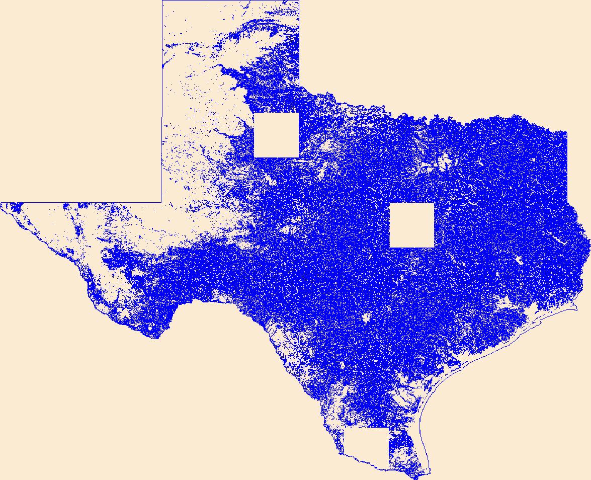
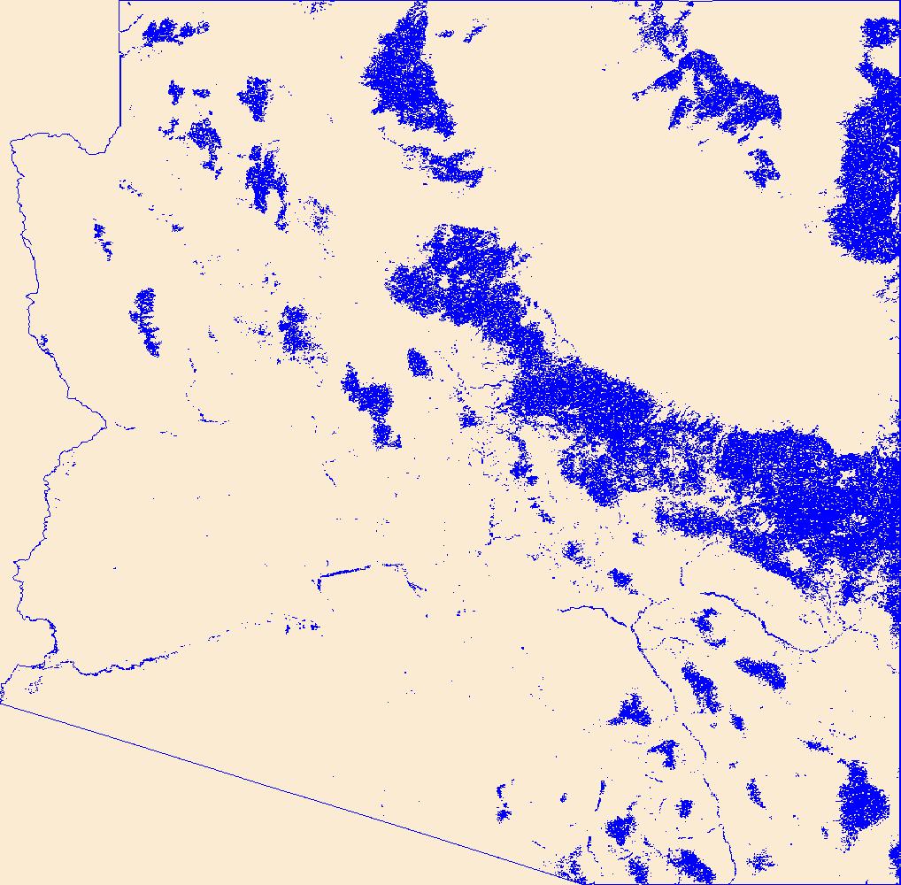
Geospatial data that is a derivative land cover product depicting woodland on topographic maps.
The National Land Cover Database products are created through a cooperative project conducted by the Multi-Resolution Land Characteristics (MRLC) Consortium. The MRLC Consortium is a partnership of federal agencies (www.mrlc.gov), consisting of the U.S. Geological Survey (USGS), the National Oceanic and Atmospheric Administration (NOAA), the U.S. Environmental Protection Agency (EPA), the U.S. Department of Agriculture (USDA), the U.S. Forest Service (USFS), the National Park Service (NPS), the U.S. Fish and Wildlife Service (FWS), the Bureau of Land Management (BLM) and the USDA Natural Resources Conservation Service (NRCS). Previously, NLCD consisted of three major data releases based on a 10-year cycle. These...
Geospatial data that is a derivative land cover product depicting woodland on topographic maps.
Accurate and consistent estimates of shrubland ecosystem components are crucial to a better understanding of ecosystems condition in arid and semiarid lands. We developed an innovative approach by integrating multiple information to quantify shrubland components as continuous field products within the National Land Cover Database (NLCD). The approach consists of five major parts: field sample collection, high-resolution mapping of shrubland components using WorldView-2 imagery and regression tree models, Landsat 8 radiometric balancing and phenological mosaicking, coarse resolution estimate of shrubland components across a large geographic extent using Landsat 8 phenological mosaics and regression tree models, and...
Accurate and consistent estimates of shrubland ecosystem components are crucial to a better understanding of ecosystems condition in arid and semiarid lands. We developed an innovative approach by integrating multiple information to quantify shrubland components as continuous field products within the National Land Cover Database (NLCD). The approach consists of five major parts: field sample collection, high-resolution mapping of shrubland components using WorldView-3 imagery and regression tree models, Landsat 8 radiometric balancing and phenological mosaicking, coarse resolution estimate of shrubland components across a large geographic extent using Landsat 8 phenological mosaics and regression tree models, and...
The U.S. Geological Survey's Upper Midwest Environmental Sciences Center (UMESC) has created a high-resolution land cover/use data set for Mississippi River Navigation Pool 8 from 1:10,000-scale color infrared aerial photos collected August 26th, 2004. The photos were interpreted using a 1-acre 10% minimum vegetation cover to delineate land cover/land use, percent vegetation cover, tree height, and hydrology regime. The geographic extent of Navigation Pool 8 is the section of the river upstream of Lock and Dam 8 (river mile 679.2) located near Genoa, WI, to Lock and Dam 7 (river mile 702.5) located near Dresbach, MN.
Categories: Data;
Types: Shapefile;
Tags: Minnesota,
Mississippi River,
Upper Mississippi River,
Wisconsin,
land cover,
Aerial photographs for Pools 1-13 Upper Mississippi River System and Pools, Alton-Marseilles, Illinois River were collected in color infrared (CIR) in August of 2010 at 8”/pixel and 16”/pixel respectively using a mapping-grade Applanix DSS 439 digital aerial camera. In August 2011, CIR aerial photographs for Pools 14-Open River South, Upper Mississippi River and Pools Dresden-Lockport, Illinois River were collected at 16”/pixel with the same camera. All CIR aerial photos were orthorectified, mosaicked, compressed, and served via the UMESC Internet site. The CIR aerial photos were interpreted and automated using a 31-class LTRMP vegetation classification. The 2010/11 LCU databases were prepared by or under the supervision...
Categories: Data;
Types: Map Service,
OGC WFS Layer,
OGC WMS Layer,
OGC WMS Service;
Tags: Aerial Photography,
Floodplain,
Floodplain Forest Mapping,
Floodplain Mapping,
Iowa,
The U.S. Geological Survey's Upper Midwest Environmental Sciences Center (UMESC) is in the process of creating high-resolution land cover/use data sets for the Upper Mississippi River System (UMRS) from 1:24,000-scale color infrared aerial photos collected in 2000. The photos are being interpreted using a 1-hectare 10% minimum vegetation cover to delineate land cover/land use, percent vegetation cover, tree height, and hydrology regime. The geographic extent of the UMRS is the Mississippi River from Cairo, IL to Minneapolis, MN and the Illinois River from its confluence with the Mississippi near Grafton, IL to Lake Michigan.
Categories: Data;
Types: Map Service,
OGC WFS Layer,
OGC WMS Layer,
OGC WMS Service;
Tags: Land Cover,
Land Cover Land Use,
Mapping
The U.S. Geological Survey's Upper Midwest Environmental Sciences Center (UMESC) is in the process of creating high-resolution land cover/use data sets for the Upper Mississippi River System (UMRS) from 1:24,000-scale color infrared aerial photos collected in 2000. The photos are being interpreted using a 1-hectare 10% minimum vegetation cover to delineate land cover/land use, percent vegetation cover, tree height, and hydrology regime. The geographic extent of the UMRS is the Mississippi River from Cairo, IL to Minneapolis, MN and the Illinois River from its confluence with the Mississippi near Grafton, IL to Lake Michigan.
The U.S. Geological Survey's Upper Midwest Environmental Sciences Center (UMESC) is in the process of creating high-resolution land cover/use data sets for the Upper Mississippi River System (UMRS) from 1:24,000-scale color infrared aerial photos collected in 2000. The photos are being interpreted using a 1-hectare 10% minimum vegetation cover to delineate land cover/land use, percent vegetation cover, tree height, and hydrology regime. The geographic extent of the UMRS is the Mississippi River from Cairo, IL to Minneapolis, MN and the Illinois River from its confluence with the Mississippi near Grafton, IL to Lake Michigan.
Categories: Data;
Types: Map Service,
OGC WFS Layer,
OGC WMS Layer,
OGC WMS Service;
Tags: Land Cover,
Land Cover Land Use,
Mapping
The Great River Environmental Action Team (GREAT) was a federal/state multi-agency cooperative program established in the late 1970's to evaluate current resource management practices and develop management strategies for the Upper Mississippi River (UMR). One of the problems facing the GREAT project was the lack of available information on many of the river's components. One project implemented by GREAT was the creation of a land cover/land use (LCU) database derived from color infrared aerial photography collected in 1975. Mississippi River Pools 3 through 10 were photographed at a scale of 1:9,600, and Lock and Dam 10 to the Ohio River were photographed at a scale of 1:24,000. The program's photo interpreters...
The Great River Environmental Action Team (GREAT) was a federal/state multi-agency cooperative program established in the late 1970's to evaluate current resource management practices and develop management strategies for the Upper Mississippi River (UMR). One of the problems facing the GREAT project was the lack of available information on many of the river's components. One project implemented by GREAT was the creation of a land cover/land use (LCU) database derived from color infrared aerial photography collected in 1975. Mississippi River Pools 3 through 10 were photographed at a scale of 1:9,600, and Lock and Dam 10 to the Ohio River were photographed at a scale of 1:24,000. The program's photo interpreters...
Aerial photographs for Pools 1-13 Upper Mississippi River System and Pools, Alton-Marseilles, Illinois River were collected in color infrared (CIR) in August of 2010 at 8”/pixel and 16”/pixel respectively using a mapping-grade Applanix DSS 439 digital aerial camera. In August 2011, CIR aerial photographs for Pools 14-Open River South, Upper Mississippi River and Pools Dresden-Lockport, Illinois River were collected at 16”/pixel with the same camera. All CIR aerial photos were orthorectified, mosaicked, compressed, and served via the UMESC Internet site. The CIR aerial photos were interpreted and automated using a 31-class LTRMP vegetation classification. The 2010/11 LCU databases were prepared by or under the supervision...
Categories: Data;
Types: Downloadable,
Map Service,
OGC WFS Layer,
OGC WMS Layer,
OGC WMS Service,
Shapefile;
Tags: Aerial Photography,
Floodplain,
Floodplain Forest Mapping,
Floodplain Mapping,
LC/LU,
Aerial photographs for Pools 1-13 Upper Mississippi River System and Pools, Alton-Marseilles, Illinois River were collected in color infrared (CIR) in August of 2010 at 8”/pixel and 16”/pixel respectively using a mapping-grade Applanix DSS 439 digital aerial camera. In August 2011, CIR aerial photographs for Pools 14-Open River South, Upper Mississippi River and Pools Dresden-Lockport, Illinois River were collected at 16”/pixel with the same camera. All CIR aerial photos were orthorectified, mosaicked, compressed, and served via the UMESC Internet site. The CIR aerial photos were interpreted and automated using a 31-class LTRMP vegetation classification. The 2010/11 LCU databases were prepared by or under the supervision...
Categories: Data;
Types: Downloadable,
Map Service,
OGC WFS Layer,
OGC WMS Layer,
OGC WMS Service,
Shapefile;
Tags: Aerial Photography,
Floodplain,
Floodplain Forest Mapping,
Floodplain Mapping,
Illinois,
This dataset was produced by the US Geological Survey as a supporting dataset to be used for the purpose of calculating stream gage basin characteristics in preparation for the South Carolina StreamStats application. This integer raster dataset represents runoff curve numbers for the combinations of hydrological soils groupings and land cover types within the South Carolina StreamStats study area. Soils data are from the USDA, NRCS SSURGO soils database and land cover data are USGS 2019 NLCD data. The dataset will be used in peak flow regression equations that are used to predict flow in South Carolina streams. The StreamStats application provides access to spatial analytical tools that are useful for water-resources...
Categories: Data;
Types: Downloadable,
GeoTIFF,
Map Service,
Raster;
Tags: Georgia,
Land cover,
NLCD 2019,
National Land Cover Dataset,
North Carolina,
To assess the distribution, frequency, and global extent of riverine hypoxia, we compiled 118 million paired dissolved oxygen (DO) and water temperature measurements from 125,158 unique locations in rivers in 93 countries and territories across the globe. The dataset also includes site characteristics derived from StreamCat, the National Hydrography and HydroAtlas datasets and proximal land cover derived from MODIS-based IGBP land cover types compiled using Google Earth Engine (GEE).
Categories: Data;
Tags: Hydrology,
NEP,
USGS Science Data Catalog (SDC),
Water Quality,
Water Resources,
These rasters represent output from the Boreal ALFRESCO (Alaska Frame Based Ecosystem Code) model. Boreal ALFRESCO operates on an annual time step, in a landscape composed of 1 x 1 km pixels, a scale appropriate for interfacing with mesoscale climate and carbon models. The last four digits of the file name specifies the year represented by the raster. For example a file named Age_years_historical_1990.tif represents the year 1990. Cell values represent the age of vegetation in years since last fire, with zero (0) indicating burned area in that year. Coverage of this dataset includes much of the state of Alaska (but does exclude Southeastern AK, Kodiak Island, portions of the Alaska Peninsula, and the Aleutian Islands)....
Potential Evapotranspiration (PET): These data represent decadal mean totals of potential evapotranspiration estimates (mm). The file name specifies the decade the raster represents. For example, a file named pet_mean_mm_decadal_CCCMA_CGCM31_A1B_annual_2000-2009.tif represents the decade spanning 2000-2009. The data were generated by using the Hamon equation and output from CCCMA (also CGCM3.1), a third generation coupled global climate model created by the Canadian Centre for Climate Modeling and Analysis. Data are at 2km x 2km resolution, and all data are stored in geotiffs. Calculations were performed using R 2.12.1 and 2.12.2 for Mac OS Leopard, and data were formatted into geotiffs using the raster and rgdal...
Potential Evapotranspiration (PET): These data represent decadal mean totals of potential evapotranspiration estimates (mm). The file name specifies the decade the raster represents. For example, a file named pet_mean_mm_decadal_MPI_ECHAM5_A1B_annual_2000-2009.tif represents the decade spanning 2000-2009. The data were generated by using the Hamon equation and output from ECHAM5, a fifth generation general circulation model created by the Max Planck Institute for Meteorology in Hamburg Germany. Data are at 2km x 2km resolution, and all data are stored in geotiffs. Calculations were performed using R 2.12.1 and 2.12.2 for Mac OS Leopard, and data were formatted into geotiffs using the raster and rgdal packages. Users...
|

|
