Filters: Tags: petroleum (X)
431 results (35ms)|
Filters
Date Range
Extensions Types
Contacts
Categories
Tag Types Tag Schemes |
The Geographic Names Information System (GNIS) is the Federal standard for geographic nomenclature. The U.S. Geological Survey developed the GNIS for the U.S. Board on Geographic Names, a Federal inter-agency body chartered by public law to maintain uniform feature name usage throughout the Government and to promulgate standard names to the public. The GNIS is the official repository of domestic geographic names data; the official vehicle for geographic names use by all departments of the Federal Government; and the source for applying geographic names to Federal electronic and printed products of all types.
Overview This directory was developed to provide discovery information for anyone looking for publicly accessible repositories that house geological materials in the U.S. and Canada. In addition, this resource is intended to be a tool to facilitate a community of practice. The need for the directory was identified during planning for and follow-up from a drill core repository webinar series in Spring 2020 for public repository curators and staff in the U.S. and Canada hosted by the Minnesota Geological Survey and the Minnesota Department of Natural Resources. Additional supporting sponsors included the U.S. Geological Survey National Geological and Geophysical Data Preservation Program and the Association of American...
Categories: Data;
Types: Downloadable,
Map Service,
OGC WFS Layer,
OGC WMS Layer,
Shapefile;
Tags: Alabama,
Alaska,
Alberta,
Arkansas,
British Columbia,
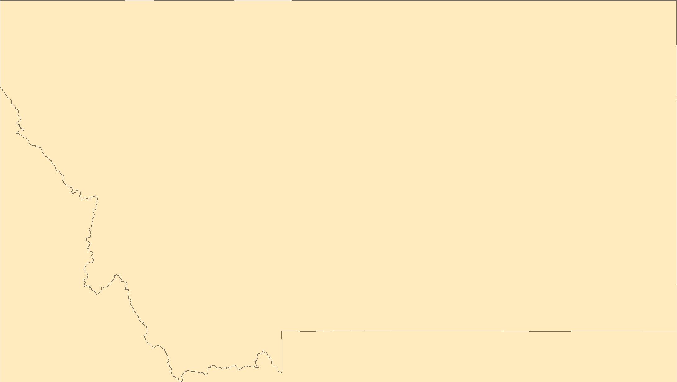
Airborne electromagnetic (AEM) and magnetic survey data were collected during October 2014 in a 553-square-kilometer area that includes the East Poplar oil field on the Fort Peck Indian Reservation in northeastern Montana, USA. Data surround the city of Poplar and extend south into the Missouri River floodplain. Data were acquired with the SkyTEM301 transient electromagnetic helicopter-borne system together with a Geometrics G-822 magnetometer. The AEM average depth of investigation is about 80 m. The survey was flown at a nominal flight height of 30 m above terrain along north-south oriented flight lines; the majority of lines had a nominal spacing of 200 m with a sub-block area in the central portion of the oil...
Categories: Data;
Types: Downloadable,
Map Service,
OGC WFS Layer,
OGC WMS Layer,
Shapefile;
Tags: CGGSC,
City of Poplar,
Crustal Geophysics and Geochemistry Science Center,
East Poplar Oil Field,
Energy Resources Program,

The National Geologic Map Database (NGMDB) is a Congressionally mandated national archive of geoscience maps, reports, and stratigraphic information. The Geologic Mapping Act of 1992 and its Reauthorizations calls for the U.S. Geological Survey and the Association of American State Geologists (AASG) to cooperatively build this national archive, according to technical and scientific standards whose development is coordinated by the NGMDB. The NGMDB consists of a comprehensive set of publication citations, stratigraphic nomenclature, downloadable content in raster and vector formats, unpublished source information, and guidance on standards development. The NGMDB contains information on more than 110,000 maps and...
How much does real GDP respond to unanticipated changes in the real price of oil? Commonly used censored VAR models suggest a substantial decline in real GDP in response to unexpected increases in the real price of oil, yet no response to unexpected declines. We show that these estimates are invalid. Based on a structural model that encompasses both symmetric and asymmetric models as special cases, correctly computed impulse responses are of roughly the same magnitude in either direction, consistent with formal tests for symmetric responses. We discuss implications for theoretical models and for policy responses to energy price shocks.
This article provides a comprehensive and succinct review of the essentials needed to deal with the disputes encountered in the international energy sector. It begins with explaining the reasons why this sector has more disputes than any other business sector and then discusses how parties can effectively manage that risk. The article covers the kinds of disputes found in the international O&G business, the types of dispute resolution mechanisms available along with their respective advantages, and the legal framework for international arbitration. It explains how to properly draft dispute resolution clauses and what to consider in selecting counsel and in appointing arbitrators. A section is included that specifically...
This report provides detailed mapping (1:63,360-scale) in the Dalton Highway area, from Atigun Gorge to Slope Mountain, in the west-central Philip Smith Mountains quadrangle. The map area extends from the northern flank of the Endicott Mountains into the Arctic Foothills province.
This data release contains the boundaries of assessment units and input data for the assessment of oil and gas resources in the Upper Cretaceous Austin Chalk Group and Tokio and Eutaw Formations in Texas, Louisiana, Mississippi, Alabama, Florida and Arkansas. The Assessment Unit is the fundamental unit used in the National Assessment Project for the assessment of undiscovered oil and gas resources. The Assessment Unit is defined within the context of the higher-level Total Petroleum System. The Assessment Unit is shown herein as a geographic boundary interpreted, defined, and mapped by the geologist responsible for the province and incorporates a set of known or postulated oil and (or) gas accumulations sharing...
This data release contains the boundaries of assessment units and input data for the assessment of undiscovered oil and gas resources in the Tyler formation of the Williston Basin province in Montana, North Dakota and South Dakota. The Assessment Unit is the fundamental unit used in the National Assessment Project for the assessment of undiscovered oil and gas resources. The Assessment Unit is defined within the context of the higher-level Total Petroleum System. The Assessment Unit is shown herein as a geographic boundary interpreted, defined, and mapped by the geologist responsible for the province and incorporates a set of known or postulated oil and (or) gas accumulations sharing similar geologic, geographic,...
Categories: Data;
Types: Downloadable,
Map Service,
OGC WFS Layer,
OGC WMS Layer,
Shapefile;
Tags: Assessment Unit,
Continuous Assessment Unit,
Energy Resources,
Energy Resources,
Geology,
This data release contains the boundaries of assessment units and input data for the assessment of gas resources in the Lewis Shale Total Petroleum System of New Mexico and Colorado. The Assessment Unit is the fundamental unit used in the National Assessment Project for the assessment of undiscovered oil and gas resources. The Assessment Unit is defined within the context of the higher-level Total Petroleum System. The Assessment Unit is shown herein as a geographic boundary interpreted, defined, and mapped by the geologist responsible for the province and incorporates a set of known or postulated oil and (or) gas accumulations sharing similar geologic, geographic, and temporal properties within the Total Petroleum...
Categories: Data;
Types: Downloadable,
Map Service,
OGC WFS Layer,
OGC WMS Layer,
Shapefile;
Tags: Assessment Unit,
Cliff House Fairway Continuous Gas,
Continuous Assessment Unit,
Energy Resources,
Energy Resources,
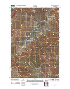
Layered GeoPDF 7.5 Minute Quadrangle Map. Layers of geospatial data include orthoimagery, roads, grids, geographic names, elevation contours, hydrography, and other selected map features.
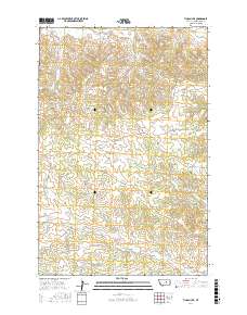
Layered geospatial PDF Map. Layers of geospatial data include orthoimagery, roads, grids, geographic names, elevation contours, hydrography, and other selected map features.
Layered GeoPDF 7.5 Minute Quadrangle Map. Layers of geospatial data include orthoimagery, roads, grids, geographic names, elevation contours, hydrography, and other selected map features.
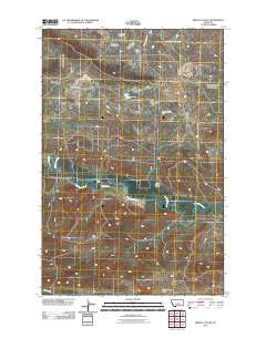
Layered GeoPDF 7.5 Minute Quadrangle Map. Layers of geospatial data include orthoimagery, roads, grids, geographic names, elevation contours, hydrography, and other selected map features.
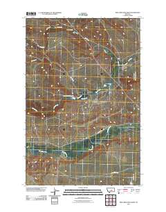
Layered GeoPDF 7.5 Minute Quadrangle Map. Layers of geospatial data include orthoimagery, roads, grids, geographic names, elevation contours, hydrography, and other selected map features.
Layered GeoPDF 7.5 Minute Quadrangle Map. Layers of geospatial data include orthoimagery, roads, grids, geographic names, elevation contours, hydrography, and other selected map features.
Layered GeoPDF 7.5 Minute Quadrangle Map. Layers of geospatial data include orthoimagery, roads, grids, geographic names, elevation contours, hydrography, and other selected map features.
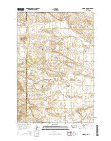
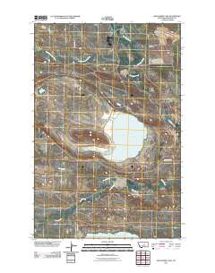
Layered GeoPDF 7.5 Minute Quadrangle Map. Layers of geospatial data include orthoimagery, roads, grids, geographic names, elevation contours, hydrography, and other selected map features.
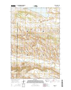
Layered GeoPDF 7.5 Minute Quadrangle Map. Layers of geospatial data include orthoimagery, roads, grids, geographic names, elevation contours, hydrography, and other selected map features.
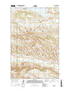
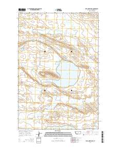
Layered geospatial PDF Map. Layers of geospatial data include orthoimagery, roads, grids, geographic names, elevation contours, hydrography, and other selected map features.
|

|
