Filters
Date Range
Extensions
Types
Contacts
Tag Types
Tag Schemes
|

Geospatial data is comprised of government boundaries.
Tags: Boundaries,
County or Equivalent,
Downloadable Data,
Esri Shapefile nan,
Incorporated Place, All tags...
Jurisdictional,
Minor Civil Division,
National Boundary Dataset (NBD),
National Boundary Dataset (NBD),
Native American Area,
PLSS First Division,
PLSS Special Survey,
PLSS Township,
Public Land Survey System,
Reserve,
Shapefile,
St. Croix,
St. John,
St. Thomas,
State,
State,
State or Territory,
U.S. National Grid,
US,
Unincorporated Place,
United States,
VI,
Virgin Islands,
boundaries,
boundary,
cadastral surveys,
geographic names,
land ownership,
land use maps,
legal land descriptions,
political and administrative boundaries,
zoning maps, Fewer tags
Geospatial data is comprised of government boundaries.
Types: Citation;
Tags: Boundaries,
Bristol,
County or Equivalent,
Downloadable Data,
Esri File GeoDatabase 10, All tags...
FileGDB,
Incorporated Place,
Jurisdictional,
Kent,
Minor Civil Division,
National Boundary Dataset (NBD),
National Boundary Dataset (NBD),
Native American Area,
Newport,
PLSS First Division,
PLSS Special Survey,
PLSS Township,
Providence,
Public Land Survey System,
RI,
Reserve,
Rhode Island,
State,
State,
State or Territory,
U.S. National Grid,
US,
Unincorporated Place,
United States,
Washington,
boundaries,
boundary,
cadastral surveys,
geographic names,
land ownership,
land use maps,
legal land descriptions,
political and administrative boundaries,
zoning maps, Fewer tags

Geospatial data is comprised of government boundaries.
Tags: Boundaries,
Bristol,
County or Equivalent,
Downloadable Data,
Esri Shapefile nan, All tags...
Incorporated Place,
Jurisdictional,
Kent,
Minor Civil Division,
National Boundary Dataset (NBD),
National Boundary Dataset (NBD),
Native American Area,
Newport,
PLSS First Division,
PLSS Special Survey,
PLSS Township,
Providence,
Public Land Survey System,
RI,
Reserve,
Rhode Island,
Shapefile,
State,
State,
State or Territory,
U.S. National Grid,
US,
Unincorporated Place,
United States,
Washington,
boundaries,
boundary,
cadastral surveys,
geographic names,
land ownership,
land use maps,
legal land descriptions,
political and administrative boundaries,
zoning maps, Fewer tags
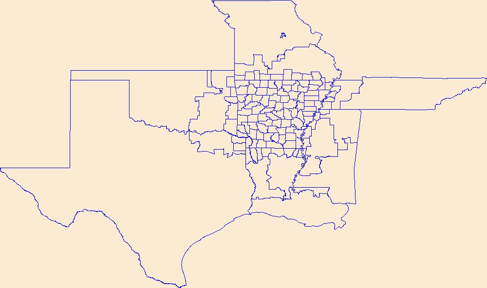
Geospatial data is comprised of government boundaries.
Tags: Allen,
Anderson,
Atchison,
Barber,
Barton, All tags...
Boundaries,
Bourbon,
Brown,
Butler,
Chase,
Chautauqua,
Cherokee,
Cheyenne,
Clark,
Clay,
Cloud,
Coffey,
Comanche,
County or Equivalent,
Cowley,
Crawford,
Decatur,
Dickinson,
Doniphan,
Douglas,
Downloadable Data,
Edwards,
Elk,
Ellis,
Ellsworth,
Esri Shapefile nan,
Finney,
Ford,
Franklin,
Geary,
Gove,
Graham,
Grant,
Gray,
Greeley,
Greenwood,
Hamilton,
Harper,
Harvey,
Haskell,
Hodgeman,
Incorporated Place,
Jackson,
Jefferson,
Jewell,
Johnson,
Jurisdictional,
KS,
Kansas,
Kearny,
Kingman,
Kiowa,
Labette,
Lane,
Leavenworth,
Lincoln,
Linn,
Logan,
Lyon,
Marion,
Marshall,
McPherson,
Meade,
Miami,
Minor Civil Division,
Mitchell,
Montgomery,
Morris,
Morton,
National Boundary Dataset (NBD),
National Boundary Dataset (NBD),
Native American Area,
Nemaha,
Neosho,
Ness,
Norton,
Osage,
Osborne,
Ottawa,
PLSS First Division,
PLSS Special Survey,
PLSS Township,
Pawnee,
Phillips,
Pottawatomie,
Pratt,
Public Land Survey System,
Rawlins,
Reno,
Republic,
Reserve,
Rice,
Riley,
Rooks,
Rush,
Russell,
Saline,
Scott,
Sedgwick,
Seward,
Shapefile,
Shawnee,
Sheridan,
Sherman,
Smith,
Stafford,
Stanton,
State,
State,
State or Territory,
Stevens,
Sumner,
Thomas,
Trego,
U.S. National Grid,
US,
Unincorporated Place,
United States,
Wabaunsee,
Wallace,
Washington,
Wichita,
Wilson,
Woodson,
Wyandotte,
boundaries,
boundary,
cadastral surveys,
geographic names,
land ownership,
land use maps,
legal land descriptions,
political and administrative boundaries,
zoning maps, Fewer tags
Geospatial data is comprised of government boundaries.
Tags: Ada,
Adams,
Bannock,
Bear Lake,
Benewah, All tags...
Bingham,
Blaine,
Boise,
Bonner,
Bonneville,
Boundaries,
Boundary,
Butte,
Camas,
Canyon,
Caribou,
Cassia,
Clark,
Clearwater,
County or Equivalent,
Custer,
Downloadable Data,
Elmore,
Esri Shapefile nan,
Franklin,
Fremont,
Gem,
Gooding,
ID,
Idaho,
Idaho,
Incorporated Place,
Jefferson,
Jerome,
Jurisdictional,
Kootenai,
Latah,
Lemhi,
Lewis,
Lincoln,
Madison,
Minidoka,
Minor Civil Division,
National Boundary Dataset (NBD),
National Boundary Dataset (NBD),
Native American Area,
Nez Perce,
Oneida,
Owyhee,
PLSS First Division,
PLSS Special Survey,
PLSS Township,
Payette,
Power,
Public Land Survey System,
Reserve,
Shapefile,
Shoshone,
State,
State,
State or Territory,
Teton,
Twin Falls,
U.S. National Grid,
US,
Unincorporated Place,
United States,
Valley,
Washington,
boundaries,
boundary,
cadastral surveys,
geographic names,
land ownership,
land use maps,
legal land descriptions,
political and administrative boundaries,
zoning maps, Fewer tags
Geospatial data is comprised of government boundaries.
Tags: Boundaries,
County or Equivalent,
Downloadable Data,
Esri Shapefile nan,
HI, All tags...
Hawaii,
Hawaii,
Honolulu,
Incorporated Place,
Jurisdictional,
Kalawao,
Kauai,
Maui,
Minor Civil Division,
National Boundary Dataset (NBD),
National Boundary Dataset (NBD),
Native American Area,
PLSS First Division,
PLSS Special Survey,
PLSS Township,
Public Land Survey System,
Reserve,
Shapefile,
State,
State,
State or Territory,
U.S. National Grid,
US,
Unincorporated Place,
United States,
boundaries,
boundary,
cadastral surveys,
geographic names,
land ownership,
land use maps,
legal land descriptions,
political and administrative boundaries,
zoning maps, Fewer tags
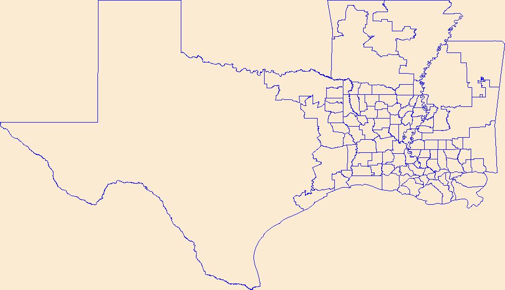
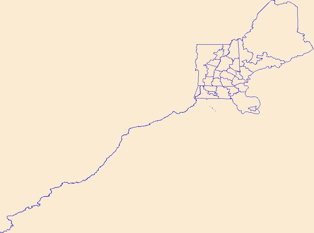
Geospatial data is comprised of government boundaries.
Tags: Acadia,
Allen,
Ascension,
Assumption,
Avoyelles, All tags...
Beauregard,
Bienville,
Bossier,
Boundaries,
Caddo,
Calcasieu,
Caldwell,
Cameron,
Catahoula,
Claiborne,
Concordia,
County or Equivalent,
De Soto,
Downloadable Data,
East Baton Rouge,
East Carroll,
East Feliciana,
Evangeline,
Franklin,
GeoPackage,
Grant,
Iberia,
Iberville,
Incorporated Place,
Jackson,
Jefferson,
Jefferson Davis,
Jurisdictional,
LA,
LaSalle,
Lafayette,
Lafourche,
Lincoln,
Livingston,
Louisiana,
Madison,
Minor Civil Division,
Morehouse,
Natchitoches,
National Boundary Dataset (NBD),
National Boundary Dataset (NBD),
Native American Area,
Open Geospatial Consortium GeoPackage 1.2,
Orleans,
Ouachita,
PLSS First Division,
PLSS Special Survey,
PLSS Township,
Plaquemines,
Pointe Coupee,
Public Land Survey System,
Rapides,
Red River,
Reserve,
Richland,
Sabine,
St. Bernard,
St. Charles,
St. Helena,
St. James,
St. John the Baptist,
St. Landry,
St. Martin,
St. Mary,
St. Tammany,
State,
State,
State or Territory,
Tangipahoa,
Tensas,
Terrebonne,
U.S. National Grid,
US,
Unincorporated Place,
Union,
United States,
Vermilion,
Vernon,
Washington,
Webster,
West Baton Rouge,
West Carroll,
West Feliciana,
Winn,
boundaries,
boundary,
cadastral surveys,
geographic names,
land ownership,
land use maps,
legal land descriptions,
political and administrative boundaries,
zoning maps, Fewer tags
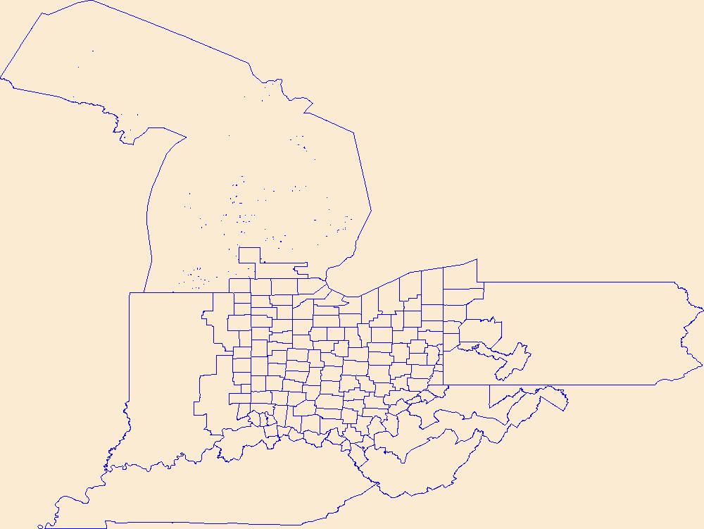
Geospatial data is comprised of government boundaries.
Tags: Adams,
Allen,
Ashland,
Ashtabula,
Athens, All tags...
Auglaize,
Belmont,
Boundaries,
Brown,
Butler,
Carroll,
Champaign,
Clark,
Clermont,
Clinton,
Columbiana,
Coshocton,
County or Equivalent,
Crawford,
Cuyahoga,
Darke,
Defiance,
Delaware,
Downloadable Data,
Erie,
Fairfield,
Fayette,
Franklin,
Fulton,
Gallia,
Geauga,
GeoPackage,
Greene,
Guernsey,
Hamilton,
Hancock,
Hardin,
Harrison,
Henry,
Highland,
Hocking,
Holmes,
Huron,
Incorporated Place,
Jackson,
Jefferson,
Jurisdictional,
Knox,
Lake,
Lawrence,
Licking,
Logan,
Lorain,
Lucas,
Madison,
Mahoning,
Marion,
Medina,
Meigs,
Mercer,
Miami,
Minor Civil Division,
Monroe,
Montgomery,
Morgan,
Morrow,
Muskingum,
National Boundary Dataset (NBD),
National Boundary Dataset (NBD),
Native American Area,
Noble,
OH,
Ohio,
Open Geospatial Consortium GeoPackage 1.2,
Ottawa,
PLSS First Division,
PLSS Special Survey,
PLSS Township,
Paulding,
Perry,
Pickaway,
Pike,
Portage,
Preble,
Public Land Survey System,
Putnam,
Reserve,
Richland,
Ross,
Sandusky,
Scioto,
Seneca,
Shelby,
Stark,
State,
State,
State or Territory,
Summit,
Trumbull,
Tuscarawas,
U.S. National Grid,
US,
Unincorporated Place,
Union,
United States,
Van Wert,
Vinton,
Warren,
Washington,
Wayne,
Williams,
Wood,
Wyandot,
boundaries,
boundary,
cadastral surveys,
geographic names,
land ownership,
land use maps,
legal land descriptions,
political and administrative boundaries,
zoning maps, Fewer tags
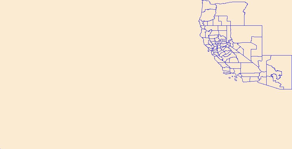
Geospatial data is comprised of government boundaries.
Tags: Alameda,
Alpine,
Amador,
Boundaries,
Butte, All tags...
CA,
Calaveras,
California,
Colusa,
Contra Costa,
County or Equivalent,
Del Norte,
Downloadable Data,
El Dorado,
Fresno,
GeoPackage,
Glenn,
Humboldt,
Imperial,
Incorporated Place,
Inyo,
Jurisdictional,
Kern,
Kings,
Lake,
Lassen,
Los Angeles,
Madera,
Marin,
Mariposa,
Mendocino,
Merced,
Minor Civil Division,
Modoc,
Mono,
Monterey,
Napa,
National Boundary Dataset (NBD),
National Boundary Dataset (NBD),
Native American Area,
Nevada,
Open Geospatial Consortium GeoPackage 1.2,
Orange,
PLSS First Division,
PLSS Special Survey,
PLSS Township,
Placer,
Plumas,
Public Land Survey System,
Reserve,
Riverside,
Sacramento,
San Benito,
San Bernardino,
San Diego,
San Francisco,
San Joaquin,
San Luis Obispo,
San Mateo,
Santa Barbara,
Santa Clara,
Santa Cruz,
Shasta,
Sierra,
Siskiyou,
Solano,
Sonoma,
Stanislaus,
State,
State,
State or Territory,
Sutter,
Tehama,
Trinity,
Tulare,
Tuolumne,
U.S. National Grid,
US,
Unincorporated Place,
United States,
Ventura,
Yolo,
Yuba,
boundaries,
boundary,
cadastral surveys,
geographic names,
land ownership,
land use maps,
legal land descriptions,
political and administrative boundaries,
zoning maps, Fewer tags
Geospatial data is comprised of government boundaries.
Tags: Boundaries,
County or Equivalent,
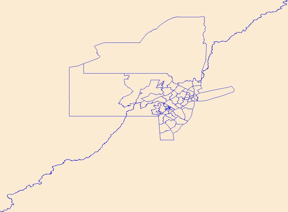
DE,
Delaware,
Downloadable Data, All tags...
GeoPackage,
Incorporated Place,
Jurisdictional,
Kent,
Minor Civil Division,
National Boundary Dataset (NBD),
National Boundary Dataset (NBD),
Native American Area,
New Castle,
Open Geospatial Consortium GeoPackage 1.2,
PLSS First Division,
PLSS Special Survey,
PLSS Township,
Public Land Survey System,
Reserve,
State,
State,
State or Territory,
Sussex,
U.S. National Grid,
US,
Unincorporated Place,
United States,
boundaries,
boundary,
cadastral surveys,
geographic names,
land ownership,
land use maps,
legal land descriptions,
political and administrative boundaries,
zoning maps, Fewer tags
Geospatial data is comprised of government boundaries.
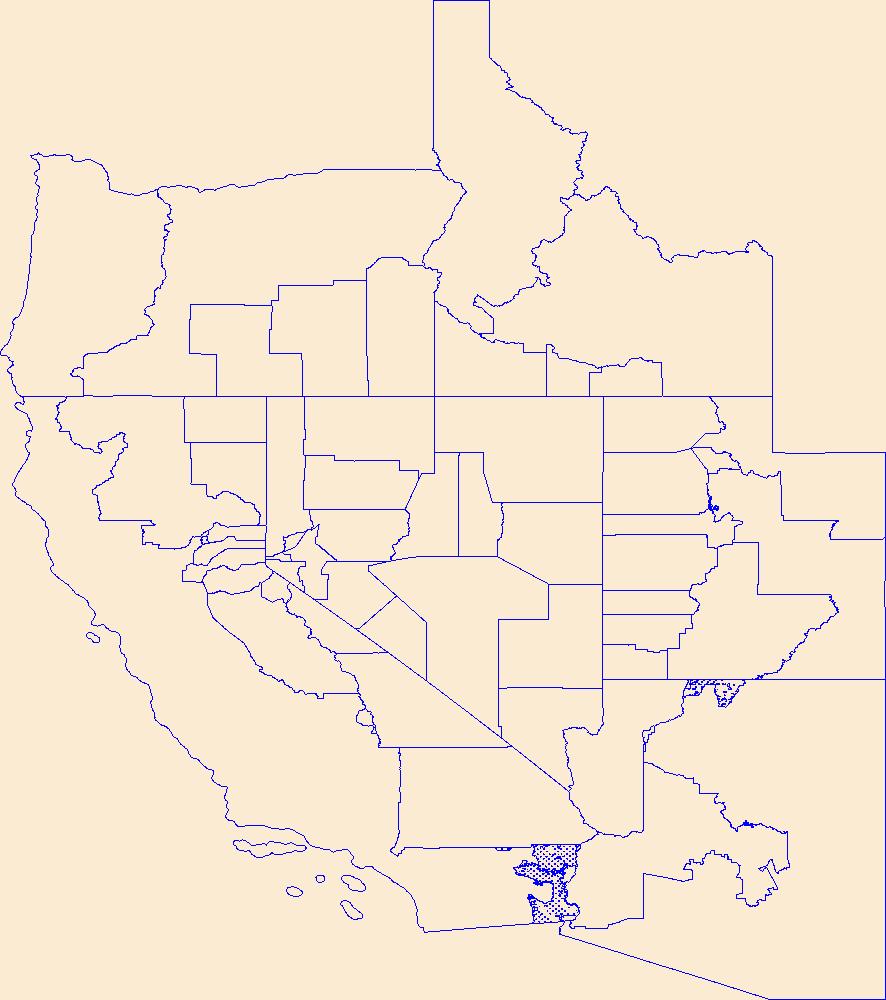
Tags: Boundaries,
Carson City,
Churchill,
Clark,
County or Equivalent, All tags...
Douglas,
Downloadable Data,
Elko,
Esmeralda,
Eureka,
GeoPackage,
Humboldt,
Incorporated Place,
Jurisdictional,
Lander,
Lincoln,
Lyon,
Mineral,
Minor Civil Division,
NV,
National Boundary Dataset (NBD),
National Boundary Dataset (NBD),
Native American Area,
Nevada,
Nye,
Open Geospatial Consortium GeoPackage 1.2,
PLSS First Division,
PLSS Special Survey,
PLSS Township,
Pershing,
Public Land Survey System,
Reserve,
State,
State,
State or Territory,
Storey,
U.S. National Grid,
US,
Unincorporated Place,
United States,
Washoe,
White Pine,
boundaries,
boundary,
cadastral surveys,
geographic names,
land ownership,
land use maps,
legal land descriptions,
political and administrative boundaries,
zoning maps, Fewer tags
Geospatial data is comprised of government boundaries.
Types: Citation;
Tags: Atlantic,
Bergen,
Boundaries,
Burlington,
Camden, All tags...
Cape May,
County or Equivalent,
Cumberland,
Downloadable Data,
Esri File GeoDatabase 10,
Essex,
FileGDB,
Gloucester,
Hudson,
Hunterdon,
Incorporated Place,
Jurisdictional,
Mercer,
Middlesex,
Minor Civil Division,
Monmouth,
Morris,
NJ,
National Boundary Dataset (NBD),
National Boundary Dataset (NBD),
Native American Area,
New Jersey,
Ocean,
PLSS First Division,
PLSS Special Survey,
PLSS Township,
Passaic,
Public Land Survey System,
Reserve,
Salem,
Somerset,
State,
State,
State or Territory,
Sussex,
U.S. National Grid,
US,
Unincorporated Place,
Union,
United States,
Warren,
boundaries,
boundary,
cadastral surveys,
geographic names,
land ownership,
land use maps,
legal land descriptions,
political and administrative boundaries,
zoning maps, Fewer tags
Geospatial data is comprised of government boundaries.
Tags: Accomack,
Albemarle,
Alexandria,
Alleghany,
Amelia, All tags...
Amherst,
Appomattox,
Arlington,
Augusta,
Bath,
Bedford,
Bland,
Botetourt,
Boundaries,
Bristol,
Brunswick,
Buchanan,
Buckingham,
Buena Vista,
Campbell,
Caroline,
Carroll,
Charles City,
Charlotte,
Charlottesville,
Chesapeake,
Chesterfield,
Clarke,
Colonial Heights,
County or Equivalent,
Covington,
Craig,
Culpeper,
Cumberland,
Danville,
Dickenson,
Dinwiddie,
Downloadable Data,
Emporia,
Essex,
Fairfax,
Falls Church,
Fauquier,
Floyd,
Fluvanna,
Franklin,
Frederick,
Fredericksburg,
Galax,
GeoPackage,
Giles,
Gloucester,
Goochland,
Grayson,
Greene,
Greensville,
Halifax,
Hampton,
Hanover,
Harrisonburg,
Henrico,
Henry,
Highland,
Hopewell,
Incorporated Place,
Isle of Wight,
James City,
Jurisdictional,
King George,
King William,
King and Queen,
Lancaster,
Lee,
Lexington,
Loudoun,
Louisa,
Lunenburg,
Lynchburg,
Madison,
Manassas,
Manassas Park,
Martinsville,
Mathews,
Mecklenburg,
Middlesex,
Minor Civil Division,
Montgomery,
National Boundary Dataset (NBD),
National Boundary Dataset (NBD),
Native American Area,
Nelson,
New Kent,
Newport News,
Norfolk,
Northampton,
Northumberland,
Norton,
Nottoway,
Open Geospatial Consortium GeoPackage 1.2,
Orange,
PLSS First Division,
PLSS Special Survey,
PLSS Township,
Page,
Patrick,
Petersburg,
Pittsylvania,
Poquoson,
Portsmouth,
Powhatan,
Prince Edward,
Prince George,
Prince William,
Public Land Survey System,
Pulaski,
Radford,
Rappahannock,
Reserve,
Richmond,
Roanoke,
Rockbridge,
Rockingham,
Russell,
Salem,
Scott,
Shenandoah,
Smyth,
Southampton,
Spotsylvania,
Stafford,
State,
State,
State or Territory,
Staunton,
Suffolk,
Surry,
Sussex,
Tazewell,
U.S. National Grid,
US,
Unincorporated Place,
United States,
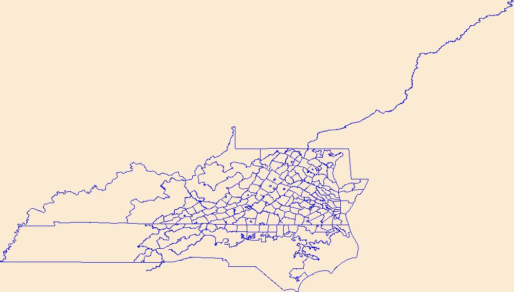
VA,
Virginia,
Virginia Beach,
Warren,
Washington,
Waynesboro,
Westmoreland,
Williamsburg,
Winchester,
Wise,
Wythe,
York,
boundaries,
boundary,
cadastral surveys,
geographic names,
land ownership,
land use maps,
legal land descriptions,
political and administrative boundaries,
zoning maps, Fewer tags
Geospatial data is comprised of government boundaries.
Types: Citation;
Tags: Aitkin,
Anoka,
Becker,
Beltrami,
Benton, All tags...
Big Stone,
Blue Earth,
Boundaries,
Brown,
Carlton,
Carver,
Cass,
Chippewa,
Chisago,
Clay,
Clearwater,
Cook,
Cottonwood,
County or Equivalent,
Crow Wing,
Dakota,
Dodge,
Douglas,
Downloadable Data,
Esri File GeoDatabase 10,
Faribault,
FileGDB,
Fillmore,
Freeborn,
Goodhue,
Grant,
Hennepin,
Houston,
Hubbard,
Incorporated Place,
Isanti,
Itasca,
Jackson,
Jurisdictional,
Kanabec,
Kandiyohi,
Kittson,
Koochiching,
Lac qui Parle,
Lake,
Lake of the Woods,
Le Sueur,
Lincoln,
Lyon,
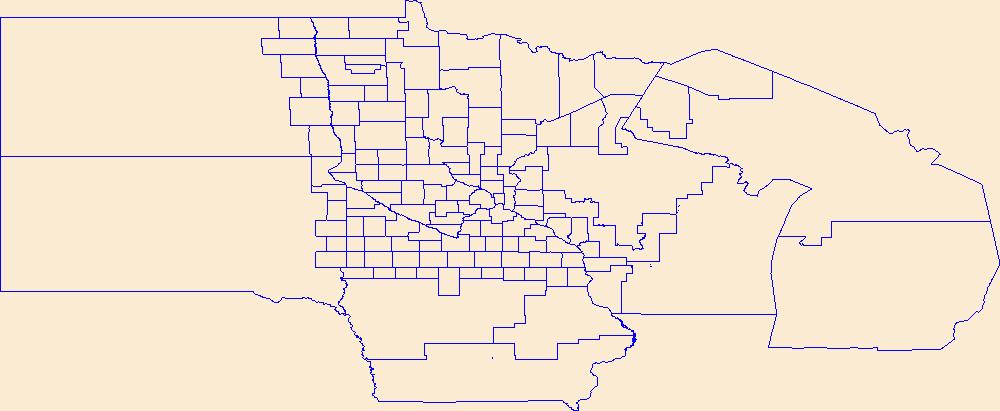
MN,
Mahnomen,
Marshall,
Martin,
McLeod,
Meeker,
Mille Lacs,
Minnesota,
Minor Civil Division,
Morrison,
Mower,
Murray,
National Boundary Dataset (NBD),
National Boundary Dataset (NBD),
Native American Area,
Nicollet,
Nobles,
Norman,
Olmsted,
Otter Tail,
PLSS First Division,
PLSS Special Survey,
PLSS Township,
Pennington,
Pine,
Pipestone,
Polk,
Pope,
Public Land Survey System,
Ramsey,
Red Lake,
Redwood,
Renville,
Reserve,
Rice,
Rock,
Roseau,
Scott,
Sherburne,
Sibley,
St. Louis,
State,
State,
State or Territory,
Stearns,
Steele,
Stevens,
Swift,
Todd,
Traverse,
U.S. National Grid,
US,
Unincorporated Place,
United States,
Wabasha,
Wadena,
Waseca,
Washington,
Watonwan,
Wilkin,
Winona,
Wright,
Yellow Medicine,
boundaries,
boundary,
cadastral surveys,
geographic names,
land ownership,
land use maps,
legal land descriptions,
political and administrative boundaries,
zoning maps, Fewer tags
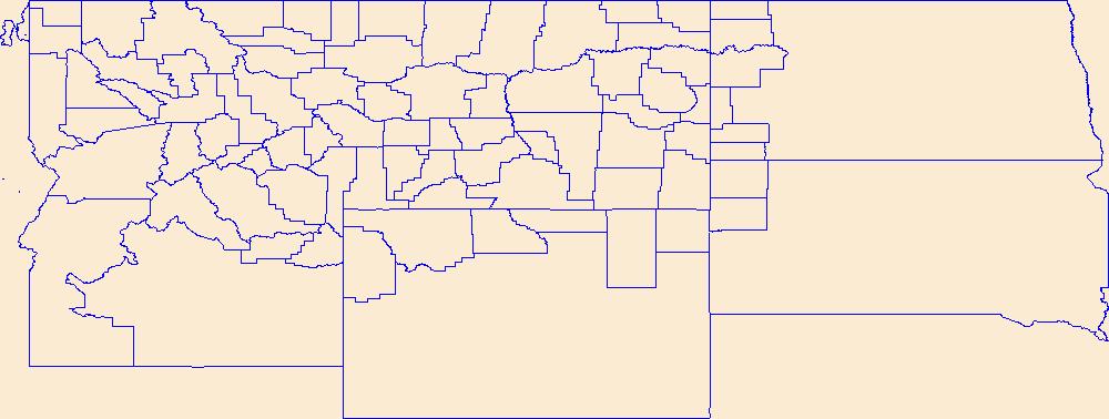
Geospatial data is comprised of government boundaries.
Tags: Albany,
Big Horn,
Boundaries,
Campbell,
Carbon, All tags...
Converse,
County or Equivalent,
Crook,
Downloadable Data,
Fremont,
GeoPackage,
Goshen,
Hot Springs,
Incorporated Place,
Johnson,
Jurisdictional,
Laramie,
Lincoln,
Minor Civil Division,
National Boundary Dataset (NBD),
National Boundary Dataset (NBD),
Native American Area,
Natrona,
Niobrara,
Open Geospatial Consortium GeoPackage 1.2,
PLSS First Division,
PLSS Special Survey,
PLSS Township,
Park,
Platte,
Public Land Survey System,
Reserve,
Sheridan,
State,
State,
State or Territory,
Sublette,
Sweetwater,
Teton,
U.S. National Grid,
US,
Uinta,
Unincorporated Place,
United States,
WY,
Washakie,
Weston,
Wyoming,
boundaries,
boundary,
cadastral surveys,
geographic names,
land ownership,
land use maps,
legal land descriptions,
political and administrative boundaries,
zoning maps, Fewer tags
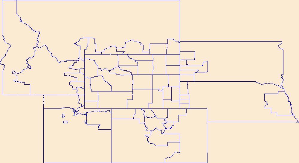
Geospatial data is comprised of government boundaries.
Tags: Beaverhead,
Big Horn,
Blaine,
Boundaries,
Broadwater, All tags...
Carbon,
Carter,
Cascade,
Chouteau,
County or Equivalent,
Custer,
Daniels,
Dawson,
Deer Lodge,
Downloadable Data,
Esri Shapefile nan,
Fallon,
Fergus,
Flathead,
Gallatin,
Garfield,
Glacier,
Golden Valley,
Granite,
Hill,
Incorporated Place,
Jefferson,
Judith Basin,
Jurisdictional,
Lake,
Lewis and Clark,
Liberty,
Lincoln,
MT,
Madison,
McCone,
Meagher,
Mineral,
Minor Civil Division,
Missoula,
Montana,
Musselshell,
National Boundary Dataset (NBD),
National Boundary Dataset (NBD),
Native American Area,
PLSS First Division,
PLSS Special Survey,
PLSS Township,
Park,
Petroleum,
Phillips,
Pondera,
Powder River,
Powell,
Prairie,
Public Land Survey System,
Ravalli,
Reserve,
Richland,
Roosevelt,
Rosebud,
Sanders,
Shapefile,
Sheridan,
Silver Bow,
State,
State,
State or Territory,
Stillwater,
Sweet Grass,
Teton,
Toole,
Treasure,
U.S. National Grid,
US,
Unincorporated Place,
United States,
Valley,
Wheatland,
Wibaux,
Yellowstone,
boundaries,
boundary,
cadastral surveys,
geographic names,
land ownership,
land use maps,
legal land descriptions,
political and administrative boundaries,
zoning maps, Fewer tags
Geospatial data is comprised of government boundaries.
Types: Citation;
Tags: AR,
Arkansas,
Arkansas,
Ashley,
Baxter, All tags...
Benton,
Boone,
Boundaries,
Bradley,
Calhoun,
Carroll,
Chicot,
Clark,
Clay,
Cleburne,
Cleveland,
Columbia,
Conway,
County or Equivalent,
Craighead,
Crawford,
Crittenden,
Cross,
Dallas,
Desha,
Downloadable Data,
Drew,
Esri File GeoDatabase 10,
Faulkner,
FileGDB,
Franklin,
Fulton,
Garland,
Grant,
Greene,
Hempstead,
Hot Spring,
Howard,
Incorporated Place,
Independence,
Izard,
Jackson,
Jefferson,
Johnson,
Jurisdictional,
Lafayette,
Lawrence,
Lee,
Lincoln,
Little River,
Logan,
Lonoke,
Madison,
Marion,
Miller,
Minor Civil Division,
Mississippi,
Monroe,
Montgomery,
National Boundary Dataset (NBD),
National Boundary Dataset (NBD),
Native American Area,
Nevada,
Newton,
Ouachita,
PLSS First Division,
PLSS Special Survey,
PLSS Township,
Perry,
Phillips,
Pike,
Poinsett,
Polk,
Pope,
Prairie,
Public Land Survey System,
Pulaski,
Randolph,
Reserve,
Saline,
Scott,
Searcy,
Sebastian,
Sevier,
Sharp,
St. Francis,
State,
State,
State or Territory,
Stone,
U.S. National Grid,
US,
Unincorporated Place,
Union,
United States,
Van Buren,
Washington,
White,
Woodruff,
Yell,
boundaries,
boundary,
cadastral surveys,
geographic names,
land ownership,
land use maps,
legal land descriptions,
political and administrative boundaries,
zoning maps, Fewer tags
Geospatial data is comprised of government boundaries.
Tags: Belknap,
Boundaries,
Carroll,
Cheshire,
Coos, All tags...
County or Equivalent,
Downloadable Data,
Esri Shapefile nan,
Grafton,
Hillsborough,
Incorporated Place,
Jurisdictional,
Merrimack,
Minor Civil Division,
NH,
National Boundary Dataset (NBD),
National Boundary Dataset (NBD),
Native American Area,
New Hampshire,
PLSS First Division,
PLSS Special Survey,
PLSS Township,
Public Land Survey System,
Reserve,
Rockingham,
Shapefile,
State,
State,
State or Territory,
Strafford,
Sullivan,
U.S. National Grid,
US,
Unincorporated Place,
United States,
boundaries,
boundary,
cadastral surveys,
geographic names,
land ownership,
land use maps,
legal land descriptions,
political and administrative boundaries,
zoning maps, Fewer tags
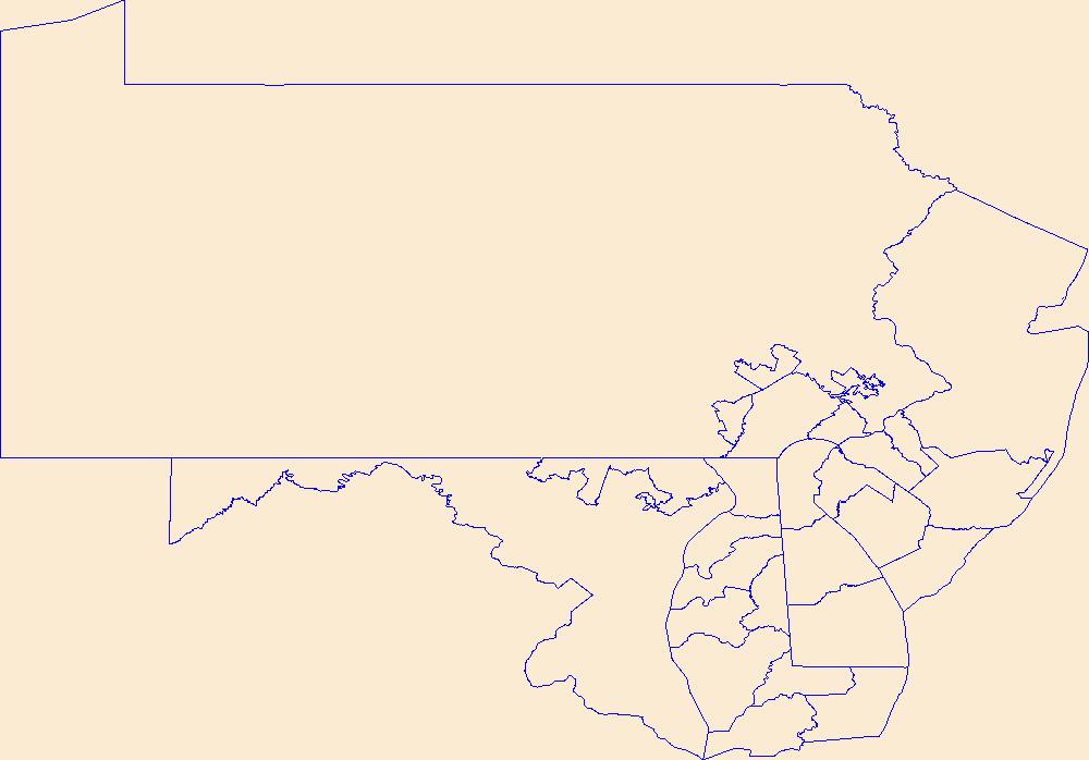
Geospatial data is comprised of government boundaries.
Types: Citation;
Tags: Barnstable,
Berkshire,
Boundaries,
Bristol,
County or Equivalent, All tags...
Downloadable Data,
Dukes,
Esri File GeoDatabase 10,
Essex,
FileGDB,
Franklin,
Hampden,
Hampshire,
Incorporated Place,
Jurisdictional,
MA,
Massachusetts,
Middlesex,
Minor Civil Division,
Nantucket,
National Boundary Dataset (NBD),
National Boundary Dataset (NBD),
Native American Area,
Norfolk,
PLSS First Division,
PLSS Special Survey,
PLSS Township,
Plymouth,
Public Land Survey System,
Reserve,
State,
State,
State or Territory,
Suffolk,
U.S. National Grid,
US,
Unincorporated Place,
United States,
Worcester,
boundaries,
boundary,
cadastral surveys,
geographic names,
land ownership,
land use maps,
legal land descriptions,
political and administrative boundaries,
zoning maps, Fewer tags

Geospatial data is comprised of government boundaries.
Tags: AS,
American Samoa,
Boundaries,
County or Equivalent,
Downloadable Data, All tags...
Eastern,
GeoPackage,
Incorporated Place,
Jurisdictional,
Manu'a,
Minor Civil Division,
National Boundary Dataset (NBD),
National Boundary Dataset (NBD),
Native American Area,
Open Geospatial Consortium GeoPackage 1.2,
PLSS First Division,
PLSS Special Survey,
PLSS Township,
Public Land Survey System,
Reserve,
Rose Island,
State,
State,
State or Territory,
Swains Island,
U.S. National Grid,
US,
Unincorporated Place,
United States,
Western,
boundaries,
boundary,
cadastral surveys,
geographic names,
land ownership,
land use maps,
legal land descriptions,
political and administrative boundaries,
zoning maps, Fewer tags
|
|

