Filters: Tags: power (X)
257 results (183ms)|
Filters
Date Range
Extensions Types Contacts
Categories Tag Types
|
Woodland caribou (Rangifer tarandus caribou) in Alberta are classified as endangered and apparently have declined. Disturbance from petroleum exploration has been implicated as a possible cause, so we constructed a simple model to estimate the energy costs of multiple encounters with disturbance (i.e., loud noise). Our objective was to estimate if woodland caribou in northeastern Alberta have been exposed to enough disturbance from 1988 to 1993 to cause winter mass loss to exceed either (i) 15% autumn mass or (ii) 20% autumn mass. A single disturbance event costs caribou 3.46-5.81 MJ. Caribou would have to encounter (i) 20-34 (mean = 27) disturbance events to lose >15% mass over winter and (ii) 41-137 (mean = 89)...
Layered geospatial PDF Map. Layers of geospatial data include orthoimagery, roads, grids, geographic names, elevation contours, hydrography, and other selected map features.
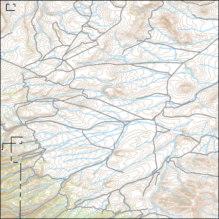
Layered GeoPDF 7.5 Minute Quadrangle Map. Layers of geospatial data include orthoimagery, roads, grids, geographic names, elevation contours, hydrography, and other selected map features.
Layered GeoPDF 7.5 Minute Quadrangle Map. Layers of geospatial data include orthoimagery, roads, grids, geographic names, elevation contours, hydrography, and other selected map features.
Layered GeoPDF 7.5 Minute Quadrangle Map. Layers of geospatial data include orthoimagery, roads, grids, geographic names, elevation contours, hydrography, and other selected map features.
Layered geospatial PDF Map. Layers of geospatial data include orthoimagery, roads, grids, geographic names, elevation contours, hydrography, and other selected map features.
Layered geospatial PDF Map. Layers of geospatial data include orthoimagery, roads, grids, geographic names, elevation contours, hydrography, and other selected map features.
Layered geospatial PDF Map. Layers of geospatial data include orthoimagery, roads, grids, geographic names, elevation contours, hydrography, and other selected map features.
Layered GeoPDF 7.5 Minute Quadrangle Map. Layers of geospatial data include orthoimagery, roads, grids, geographic names, elevation contours, hydrography, and other selected map features.
The Geographic Names Information System (GNIS) is the Federal standard for geographic nomenclature. The U.S. Geological Survey developed the GNIS for the U.S. Board on Geographic Names, a Federal inter-agency body chartered by public law to maintain uniform feature name usage throughout the Government and to promulgate standard names to the public. The GNIS is the official repository of domestic geographic names data; the official vehicle for geographic names use by all departments of the Federal Government; and the source for applying geographic names to Federal electronic and printed products of all types.
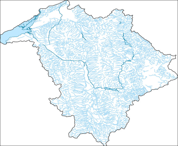
The National Hydrography Dataset (NHD) is a feature-based database that interconnects and uniquely identifies the stream segments or reaches that make up the nation's surface water drainage system. NHD data was originally developed at 1:100,000-scale and exists at that scale for the whole country. This high-resolution NHD, generally developed at 1:24,000/1:12,000 scale, adds detail to the original 1:100,000-scale NHD. (Data for Alaska, Puerto Rico and the Virgin Islands was developed at high-resolution, not 1:100,000 scale.) Local resolution NHD is being developed where partners and data exist. The NHD contains reach codes for networked features, flow direction, names, and centerline representations for areal water...
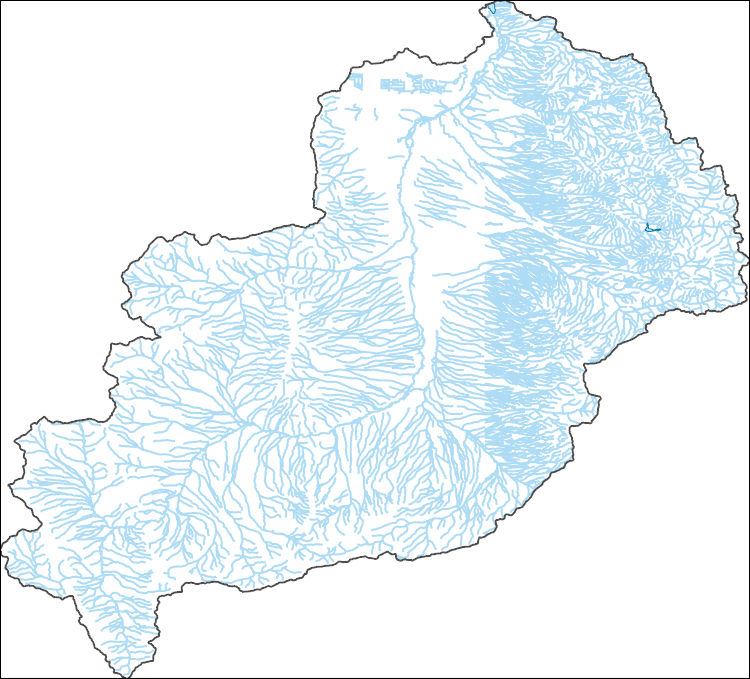
The National Hydrography Dataset (NHD) is a feature-based database that interconnects and uniquely identifies the stream segments or reaches that make up the nation's surface water drainage system. NHD data was originally developed at 1:100,000-scale and exists at that scale for the whole country. This high-resolution NHD, generally developed at 1:24,000/1:12,000 scale, adds detail to the original 1:100,000-scale NHD. (Data for Alaska, Puerto Rico and the Virgin Islands was developed at high-resolution, not 1:100,000 scale.) Local resolution NHD is being developed where partners and data exist. The NHD contains reach codes for networked features, flow direction, names, and centerline representations for areal water...
Layers of geospatial data include contours, boundaries, land cover, hydrography, roads, transportation, geographic names, structures, and other selected map features.
Types: Citation;
Tags: 7.5 x 7.5 minute,
7_5_Min,
Combined Vector,
Combined Vector,
Combined Vector,
This dataset is a polygon coverage of the Fire Clay coal zone that represents the areas in which resources were calculated and is only part of the full outcrop of the coal zone. Parts of the boundaries of the resource areas represent the 14-inch thickness isoline of the Fre Clay coal or the sub-crop limits of data availability; other parts of the boundaries are actual outcrop. The file has been generalized from detailed geologic coverages found elsewhere in Professional Paper 1625-C. This resource model for the Fire Clay coal zone must be considered provisional, because the correlation of the zone continues to be evaluated in West Virginia.
Categories: Data,
pre-SM502.8;
Types: Downloadable,
Map Service,
OGC WFS Layer,
OGC WMS Layer,
Shapefile;
Tags: Appalachians,
BELL County,
BOONE County,
BREATHITT County,
CLAY County,
The National Hydrography Dataset (NHD) is a feature-based database that interconnects and uniquely identifies the stream segments or reaches that make up the nation's surface water drainage system. NHD data was originally developed at 1:100,000-scale and exists at that scale for the whole country. This high-resolution NHD, generally developed at 1:24,000/1:12,000 scale, adds detail to the original 1:100,000-scale NHD. (Data for Alaska, Puerto Rico and the Virgin Islands was developed at high-resolution, not 1:100,000 scale.) Local resolution NHD is being developed where partners and data exist. The NHD contains reach codes for networked features, flow direction, names, and centerline representations for areal water...
This factual and occasionally philosophical book examines the intimate relations between mankind and energy. The major goal of the volume is to provide readers with the knowledge necessary to make decisions on energy policies. The impact of energy throughout the history of man is traced. The present energy source options are described, as are the processes of energy conversion for human use, and methods to estimate future costs of energy sources. The conflicts of interest between conservationists and the power industry are discussed from a neutral perspective. Chapters are included on the following topics: Energy in Human History; How Mankind Uses Energy; Sources of Energy; Energy and Economics; New Fuels from Old...
Categories: Publication;
Types: Citation;
Tags: 29 ENERGY PLANNING,
ECONOMICS,
ELECTRIC POWER,
ENERGY,
ENERGY CONSERVATION,
The paper investigates whether the Clean Development Mechanism (CDM) under the Kyoto Protocol has played a significant role in the development of rural communities, specifically investigating uptake of small-scale renewable energy projects. The investigation involved an assessment of 500 registered small-scale CDM projects under the Kyoto Protocol in terms of their potential impact on the envisaged sustainable development goals for rural communities. Five case studies from the Indian subcontinent were also examined. The paper concludes that the CDM in its current state and design has typically failed to deliver the promised benefits with regard to development objectives in rural areas. Successful projects were found...
In an earlier article the author has argued that the turbulent history of nuclear power in Britain and the USA stems from the technology itself, and has little to do with the very different institutional arrangements made for the new technology in the two countries. Nuclear plant has various features which make its planning extraordinarily difficult. Its long lead time, large unit size, capital intensity and dependence on complex infrastructure combine to ensure that mistakes are likely to be made in planning the technology and that what mistakes do occur are expensive. This article aims to expand on the earlier one in two ways; by looking at the apparent success of the French nuclear programme which seems to run...
This article presents an application of a risk assessment approach in characterising the risks associated with safety violations in underground bituminous mines in Pennsylvania using the Mine Safety and Health Administration (MSHA) citation database. The MSHA database on citations provides an opportunity to assess risks in mines through scrutiny of violations of mandatory safety standards. In this study, quantitative risk assessment is performed, which allows determination of the frequency of occurrence of safety violations (through associated citations) as well as the consequences of them in terms of penalty assessments. Focus is on establishing risk matrices on citation experiences of mines, which can give early...
Wind power forecasting is becoming an important tool in electricity markets as the amount of wind power rapidly increases. However, the use of wind power forecasting in market operations and among market participants is still at an early stage. We discuss the current use of wind power forecasting in U.S. ISO/RTO markets, and give recommendations for how to make efficient use of the information in state-of-the-art wind power forecasts.
Categories: Publication;
Types: Citation;
Tags: Ontario,
Wind power,
contribution,
electricity,
grid,
|

|
