Filters: Tags: slope (X)
189 results (84ms)|
Filters
Date Range
Extensions Types Contacts
Categories Tag Types
|
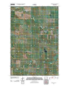
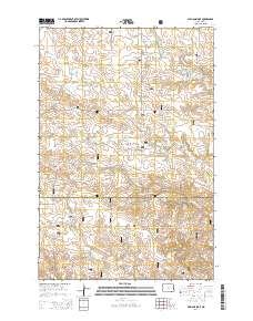
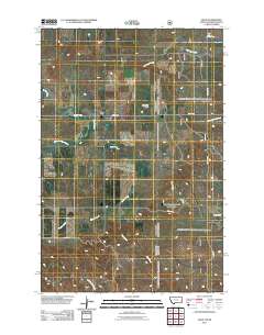
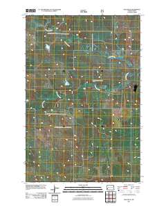
Layered GeoPDF 7.5 Minute Quadrangle Map. Layers of geospatial data include orthoimagery, roads, grids, geographic names, elevation contours, hydrography, and other selected map features.
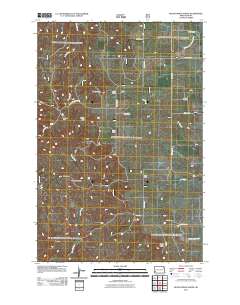
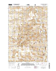
Layered GeoPDF 7.5 Minute Quadrangle Map. Layers of geospatial data include orthoimagery, roads, grids, geographic names, elevation contours, hydrography, and other selected map features.
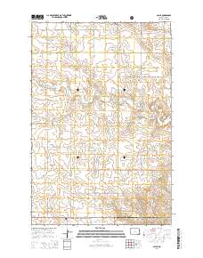
Layered GeoPDF 7.5 Minute Quadrangle Map. Layers of geospatial data include orthoimagery, roads, grids, geographic names, elevation contours, hydrography, and other selected map features.
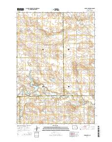
Layered GeoPDF 7.5 Minute Quadrangle Map. Layers of geospatial data include orthoimagery, roads, grids, geographic names, elevation contours, hydrography, and other selected map features.
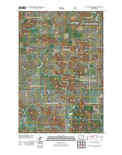
Layered GeoPDF 7.5 Minute Quadrangle Map. Layers of geospatial data include orthoimagery, roads, grids, geographic names, elevation contours, hydrography, and other selected map features.
Layered GeoPDF 7.5 Minute Quadrangle Map. Layers of geospatial data include orthoimagery, roads, grids, geographic names, elevation contours, hydrography, and other selected map features.
Layered GeoPDF 7.5 Minute Quadrangle Map. Layers of geospatial data include orthoimagery, roads, grids, geographic names, elevation contours, hydrography, and other selected map features.
Layered GeoPDF 7.5 Minute Quadrangle Map. Layers of geospatial data include orthoimagery, roads, grids, geographic names, elevation contours, hydrography, and other selected map features.
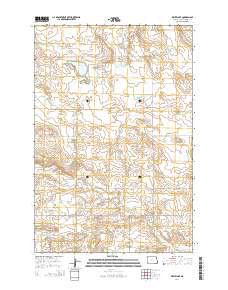
Layered GeoPDF 7.5 Minute Quadrangle Map. Layers of geospatial data include orthoimagery, roads, grids, geographic names, elevation contours, hydrography, and other selected map features.
Layered GeoPDF 7.5 Minute Quadrangle Map. Layers of geospatial data include orthoimagery, roads, grids, geographic names, elevation contours, hydrography, and other selected map features.
This dataset is one of many used in the development of the manuscript 'Advancing Cave Detection using Terrain Analysis Techniques and Thermal Imagery' by Wynne et al. 2021. Manuscript Abstract: Since the initial experiments nearly 50 years ago, techniques for detecting caves using airborne and spacecraft acquired thermal imagery have improved markedly. These advances are largely due to a combination of higher instrument sensitivity, modern computing systems, and processor-intensive analytical techniques. Through applying these advancements, our goals were to: (1) determine the utility of methods designed for terrain analysis and applied to thermal imagery; (2) analyze the usefulness of predawn and midday imagery...
Bathymetric, topographic, and grain-size data were collected from May 2013 to October 2016 along a 15-mi reach of the Colorado River in Glen Canyon National Recreation Area, Arizona by the U.S. Geological Survey Grand Canyon Monitoring and Research Center. The study reach is located from river miles -15 at the base of Glen Canyon Dam to 0 at Lees Ferry. Channel bathymetry was mapped using multibeam bathymetry collected in November 2014 and single beam bathymetry collected in February 2015, August 2015, February 2016, and June 2016. Subaerial topography was mapped using photogrammetry derived from aerial Imagery collected in May 2013 and ground-based total-stations collected in February 2015, October 2015, and October...
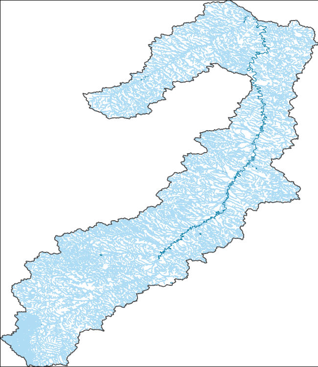
The National Hydrography Dataset (NHD) is a feature-based database that interconnects and uniquely identifies the stream segments or reaches that make up the nation's surface water drainage system. NHD data was originally developed at 1:100,000-scale and exists at that scale for the whole country. This high-resolution NHD, generally developed at 1:24,000/1:12,000 scale, adds detail to the original 1:100,000-scale NHD. (Data for Alaska, Puerto Rico and the Virgin Islands was developed at high-resolution, not 1:100,000 scale.) Local resolution NHD is being developed where partners and data exist. The NHD contains reach codes for networked features, flow direction, names, and centerline representations for areal water...
This dataset represents aspect, the horizontal direction the mountain slope faces, for the Northeast, including Canada. The cool aspect represents the North-facing slope and the warm aspect represents the South-facing slope. This dataset is derived from the following source: 30 meter Digital Elevation Model (DEM) for the Northeast (projected to NAD Albers 83) that was created by mosaicing two datasets: 1. U.S. Geological Survey's (USGS) 30 meter National Elevation Dataset (NED) , ~1 arc-second data that is updated over large areas by integrating the 10 meter or better source data (where available), re-sampled to 1 arc-second. 2. The Canadian Digital Elevation Data, Level 1 (CDED1) The Center of Topographic Information...
Categories: Data;
Types: ArcGIS REST Map Service,
ArcGIS Service Definition,
Downloadable,
Map Service;
Tags: Cool,
Elevation,
Slope,
Terrestrial,
Warm

The Geographic Names Information System (GNIS) is the Federal standard for geographic nomenclature. The U.S. Geological Survey developed the GNIS for the U.S. Board on Geographic Names, a Federal inter-agency body chartered by public law to maintain uniform feature name usage throughout the Government and to promulgate standard names to the public. The GNIS is the official repository of domestic geographic names data; the official vehicle for geographic names use by all departments of the Federal Government; and the source for applying geographic names to Federal electronic and printed products of all types.
The U.S. Geological Survey (USGS), in cooperation with the U.S. Agency for International Development, Arab Water Council, Hydrology.NL, National Center for Research and Development (Jordan), and American University of Beirut, completed a project for acceleration of aquifer storage and recovery in the Middle East and North Africa (MENA) region. The MENA region is globally the most water-scarce region with only two percent of the global average annual rainfall. Unsustainable groundwater withdrawals have caused groundwater levels to decline. Groundwater quality has also degraded due to seawater intrusion in coastal areas and infiltration of incompletely treated wastewaters. Managed aquifer recharge (MAR) is an established...
Geologic, sediment texture, and physiographic zone maps characterize the sea floor south and west of Martha's Vineyard and north of Nantucket, Massachusetts. These maps were derived from interpretations of seismic-reflection profiles, high-resolution bathymetry, acoustic-backscatter intensity, bottom photographs, and surficial sediment samples. The interpretation of the seismic stratigraphy and mapping of glacial and Holocene marine units provided a foundation on which the surficial maps were created. This mapping is a result of a collaborative effort between the U.S. Geological Survey and the Massachusetts Office of Coastal Zone Management to characterize the surface and subsurface geologic framework offshore of...
Categories: Data;
Types: Downloadable,
Map Service,
OGC WFS Layer,
OGC WMS Layer,
Shapefile;
Tags: Aquinnah,
Atlantic Ocean,
Backscatter,
Bathymetry,
CMGP,
This file contains one of many raster grids of the Elevation Derivatives for National Applications (EDNA), a multi-layered database that provides systematic and consistent topographically-derived hydrologic derivatives. The slope grid was generated from the filled DEM using the "slope" function. The grid was created with the degree, not percent, slope parameter.
Categories: Data;
Types: Downloadable;
Tags: EDNA,
Federal Government,
Hydrologic Derivative,
LANDFIRE,
Raster digital data,
This 1:50,000 scale geologic map describes the distribution of unconsolidated deposits, identifies local geologic hazards, and provides information about the depositional environment and basic engineering properties of common surficial-geologic materials in and around Shaktoolik, Alaska. Map units are the result of combined field observations and aerial imagery interpretation. A suite of local ground observations were collected over a two-week period in July 2011 by a helicopter-supported team of DGGS geologists and collaborators. Field investigations included soil test pits, sample collection, soil and rock description, oblique aerial photography, and documentation of landscape morphology.
Note: This data release has been deprecated. Please see new data release here: https://doi.org/10.5066/P9A91W4Z This dataset provides numerical descriptions of 80 watershed characteristics for 1,703 watersheds with observed streamflow information at U.S. Geological Survey (USGS) streamflow-gaging stations (gages). These gages are all located within the states of Texas, Oklahoma, and New Mexico (east of the continental divide), but the watersheds extend outside of these boundaries. Characteristics are indexed by National Hydrography Dataset (NHD) version 2.2.1 Permanent_Identifier (PERMID; string that uniquely identifies each feature in the NHD) and USGS identification number for streamflow-gaging station (gage)....
Types: Map Service,
OGC WFS Layer,
OGC WMS Layer,
OGC WMS Service;
Tags: New Mexico,
New Mexico,
Oklahoma,
Oklahoma,
Texas,
|

|
