Filters: Tags: water resources (X) > partyWithName: U.S. Geological Survey (X)
689 results (44ms)|
Filters
Date Range
Extensions
Types
Contacts
Categories
Tag Types
|
These data were compiled during a laboratory experiment showing the turbidity response to increasing silt and clay concentration. The sediment used for the laboratory experiment was collected in the Grand Canyon study area, from the bank of the Little Colorado River, approximately 1 kilometer upstream from its confluence with the Colorado River. The sediment was passed through a 63 µm sieve to isolate the silt-and-clay-size fraction. The silt and clay was completely dried in an oven (at 105 degrees Celsius for 12 hours), weighed, mechanically disaggregated, and added in stages to a measured volume of water to calculate concentration. The sediment was kept in suspension with an electric stirrer and turbidity was...
These are the data sets in machine readable files from a quantitative dye tracer test conducted at Langle Spring November 13-December 2, 2017 as part of the USGS training class, GW2227 Advanced Field Methods in Karst Terrains, held at the Savoy Experimental Watershed, Savoy Arkansas. Langle Spring is NWIS site 71948218, latitude 36.11896886, longitude -94.34548871. One pound of RhodamineWT dye was injected into a sinking stream at latitude 36.116772 longitude -94.341883 NAD83 on November 13, 2017 at 22:50. The data sets include original fluorimeter data logger files from Langle and Copperhead Springs, Laboratory Sectra-fluorometer files from standards and grab samples, and processed input and output files from the...
This Benthic Invertebrate Community Analysis dataset, a conceptual subgroup of the Lake Erie Ecological Investigations (LEEI) dataset, focuses on the benthic invertebrates sampled at Areas of Concern (AOCs) on Lake Erie. Per the Quality Assurance Project Plan (QAPP), the invertebrate samples were taken from sediments remaining from the sediment analysis. Identification of the invertebrates was completed by the same invertebrate taxonomist for both the 1998-2000 evaluation and 1986-87 historical evaluation (Smith et al. 1994) for increased consistency. Oligochaetes were identified to species if possible, chironomids were identified to genus, as adult specimens are needed for specific identification, and other taxa...
Zebra and quagga mussel veligers were exposed to eleven distinct cultures (isolates) of cyanobacteria representing Anabaena, Aphanizomenon, Dolichospermum, Microcystis, and Planktothrix species and the cyanotoxin microcystin to determine the lethality of cyanobacteria on dreissenid veligers. Six-day laboratory bioassays were performed in microplates using dreissenid veligers collected from the Detroit River, Michigan, USA. Veligers were exposed to increasing concentrations of cyanobacteria and microcystin using the green algae Chlorella minutissima as a control. Raw data were fit to dose response curves formulated from a Probit model to calculate LC50 values. This data release presents the raw data summarized and...
Bathymetric survey data of the Brandon Road Dam spillway was collected on May 27 and May 28, 2015 by the US Geological Survey (USGS) using Trimble Real-Time Kinematic Global Positioning System (RTK-GPS) equipment. The base station was set up over a temporarily installed survey pin on both days. This pin was surveyed into an existing NGS benchmark (PID: BBCN12) within the Brandon Road Lock property. In wadeable sections, a GPS rover with 2.0 meter range pole and flat-foot was deployed. In sections unable to be waded, a 2.0 meter range pole was fix-mounted to a jon boat, and a boat-mounted Acoustic Doppler Current Profiler (ADCP) was used to collect the depth data. ADCP depth data were reviewed in the WinRiver II...
Water velocities and discharge were measured in the lock chamber and immediately downstream of Brandon Road Lock on the Des Plaines River at river mile 286 on December 9-10, 2014 using Teledyne RDI Rio Grande 600 and 1200 kHz acoustic Doppler current profilers (ADCP). The data were georeferenced with a differential GPS receiver with submeter accuracy. These ADCP measurements were collected in support of the US Army Corps of Engineers Great Lakes and Mississippi River Interbasin Study (GLMRIS). Velocity measurements were processed using the Velocity Mapping Toolbox (Parsons and others, 2013) to derive temporally- and spatially-averaged water velocity values. Discharge measurements were processed with the QRev discharge...
Categories: Data;
Types: Citation;
Tags: Brandon Road Lock and Dam,
Des Plaines River,
Illinois,
Joliet,
Rockdale,
This dataset describes irrigation water use in Kansas in 2015. Volumes of water used, irrigated area, and average irrigation application depths are provided for three sets of subareas: (1) Irrigation water use analysis regions that include Groundwater Management Districts (GMDs) with the areas outside of GMDs divided into eastern, central, and western Kansas; (2) Regional Planning Areas (RPAs), which are 14 areas determined by the Kansas Water Office based on hydrologic and administrative boundaries, each with a set of goals outlined in the Kansas Water Vision (https://kwo.ks.gov/water-plan/water-vision); and (3) the 105 Kansas counties. Volumes of water used, irrigated area, and average application depths are also...
Airborne electromagnetic (AEM), magnetic, and radiometric data were acquired in late February to early March 2018 along 2,364 line-kilometers in the Shellmound, Mississippi study area. Data were acquired by CGG Canada Services, Ltd. with three different helicopter-borne sensors: the CGG Canada Services, Ltd. RESOLVE frequency-domain AEM instrument that is used to map subsurface geologic structure at depths up to 100 meters, depending on the subsurface resistivity; a Scintrex CS-3 cesium vapor magnetometer that detects changes in deep (hundreds of meters to kilometers) geologic structure based on variations in the magnetic properties of different formations; and a Radiation Solutions RS-500 spectrometer that detects...
Categories: Data;
Tags: GGGSC,
Geology, Geophysics, and Geochemistry Science Center,
Greenwood,
Leflore County,
MRVA,
Well-established conservation planning principles and techniques framed by geodesign were used to assess the restorability of areas that historically supported coastal wetlands along the U.S. shore of Saginaw Bay. The resulting analysis supported planning efforts to identify, prioritize, and track wetland restoration opportunity and investment in the region. To accomplish this, publicly available data, criteria derived from the regional managers and local stakeholders, and geospatial analysis were used to form an ecological model for spatial prioritization.
The U.S. Geological Survey (USGS) developed a systematic, quantitative approach to prioritize candidate basins that can support the assessment and forecasting objectives of the major USGS water science programs. Candidate basins were the level-4 hydrologic units (HUC4) with some of the smaller HUC4s being combined (hereafter referred to as modified HUC4 basins). Candidate basins for the contiguous United States (CONUS) were grouped into 18 hydrologic regions. Thirty-three geospatial variables representing land use, climate change, water use, water-balance components, streamflow alteration, fire risk, and ecosystem sensitivity were initially considered to assist in ranking candidate basins for study. The two highest...
Categories: Data;
Tags: Climatology,
Ecology,
Hydrology,
Integrated Water Science Basins,
Land Use Change,

The High Resolution National Hydrography Dataset Plus (NHDPlus HR) is an integrated set of geospatial data layers, including the National Hydrography Dataset (NHD), National Watershed Boundary Dataset (WBD), and 3D Elevation Program Digital Elevation Model (3DEP DEM). The NHDPlus HR combines the NHD, 3DEP DEMs, and WBD to a data suite that includes the NHD stream network with linear referencing functionality, the WBD hydrologic units, elevation-derived catchment areas for each stream segment, "value added attributes" (VAAs), and other features that enhance hydrologic data analysis and routing.
These data were compiled for Cabeza Prieta National Wildlife Refuge (CPNWR) in southern Arizona, to support managment efforts of water resources and wildlife conservation. Objective(s) of our study were to 1) measure water storage capacity at select stage heights in three tanks (also termed tinajas), 2) build a stage storage model to help CPNWR staff accurately estimate water volumes throughout the year, and 3) collect topographic data adjacent to the tanks as a means to help connect these survey data to past or future work. These data represent high-resolution (sub-meter) ground based lidar measurements used to meet these objectives and are provided as: processed lidar files (point clouds), rasters (digital elevation...
Airborne electromagnetic (AEM), magnetic, and radiometric data were acquired November 2018 to February 2019 along 16,816 line-kilometers (line-km) over the Mississippi Alluvial Plain (MAP). Data were acquired by CGG Canada Services, Ltd. with three different helicopter-borne sensors: the CGG Canada Services, Ltd. Resolve frequency-domain AEM instrument that is used to map subsurface geologic structure at depths up to 100 meters, depending on the subsurface resistivity; a Scintrex CS-3 cesium vapor magnetometer that detects changes in deep (hundreds of meters to kilometers) geologic structure based on variations in the magnetic properties of different formations; and a Radiation Solutions RS-500 spectrometer that...
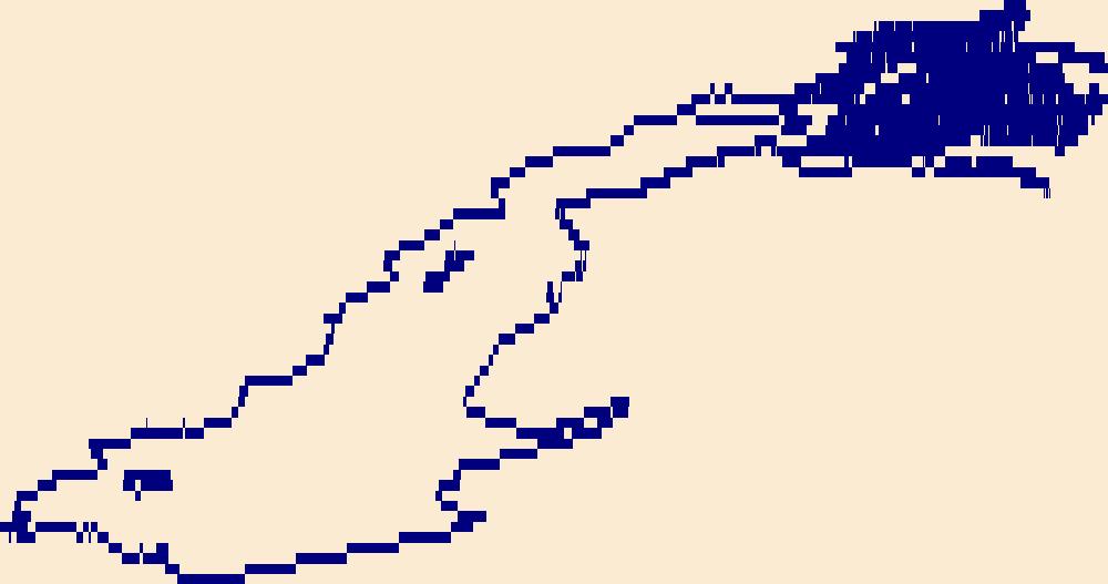
The High Resolution National Hydrography Dataset Plus (NHDPlus HR) is an integrated set of geospatial data layers, including the best available National Hydrography Dataset (NHD), the 10-meter 3D Elevation Program Digital Elevation Model (3DEP DEM), and the National Watershed Boundary Dataset (WBD). The NHDPlus HR combines the NHD, 3DEP DEMs, and WBD to create a stream network with linear referencing, feature naming, "value added attributes" (VAAs), elevation-derived catchments, and other features for hydrologic data analysis. The stream network with linear referencing is a system of data relationships applied to hydrographic systems so that one stream reach "flows" into another and "events" can be tied to and traced...
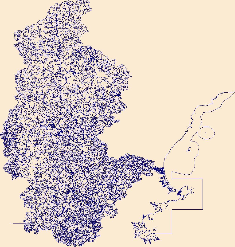
The High Resolution National Hydrography Dataset Plus (NHDPlus HR) is an integrated set of geospatial data layers, including the National Hydrography Dataset (NHD), National Watershed Boundary Dataset (WBD), and 3D Elevation Program Digital Elevation Model (3DEP DEM). The NHDPlus HR combines the NHD, 3DEP DEMs, and WBD to a data suite that includes the NHD stream network with linear referencing functionality, the WBD hydrologic units, elevation-derived catchment areas for each stream segment, "value added attributes" (VAAs), and other features that enhance hydrologic data analysis and routing.
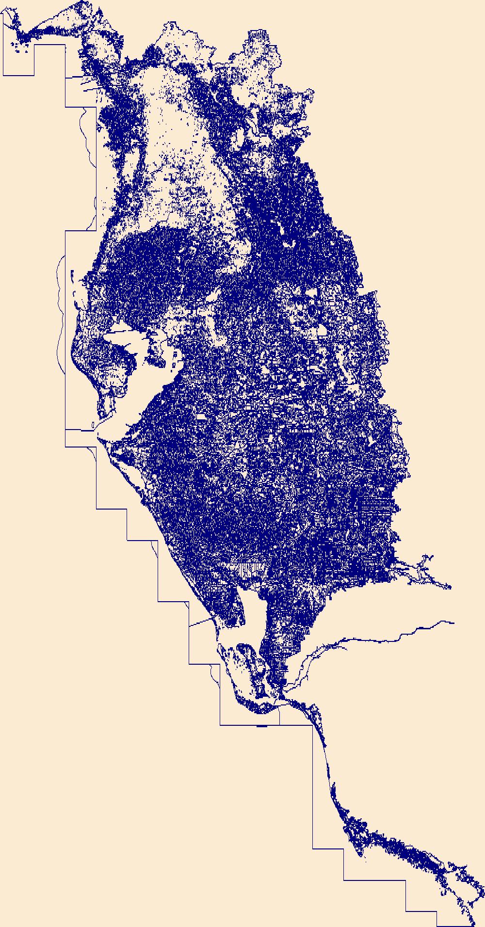
The High Resolution National Hydrography Dataset Plus (NHDPlus HR) is an integrated set of geospatial data layers, including the best available National Hydrography Dataset (NHD), the 10-meter 3D Elevation Program Digital Elevation Model (3DEP DEM), and the National Watershed Boundary Dataset (WBD). The NHDPlus HR combines the NHD, 3DEP DEMs, and WBD to create a stream network with linear referencing, feature naming, "value added attributes" (VAAs), elevation-derived catchments, and other features for hydrologic data analysis. The stream network with linear referencing is a system of data relationships applied to hydrographic systems so that one stream reach "flows" into another and "events" can be tied to and traced...
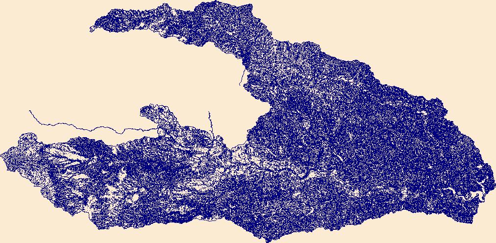
The High Resolution National Hydrography Dataset Plus (NHDPlus HR) is an integrated set of geospatial data layers, including the best available National Hydrography Dataset (NHD), the 10-meter 3D Elevation Program Digital Elevation Model (3DEP DEM), and the National Watershed Boundary Dataset (WBD). The NHDPlus HR combines the NHD, 3DEP DEMs, and WBD to create a stream network with linear referencing, feature naming, "value added attributes" (VAAs), elevation-derived catchments, and other features for hydrologic data analysis. The stream network with linear referencing is a system of data relationships applied to hydrographic systems so that one stream reach "flows" into another and "events" can be tied to and traced...
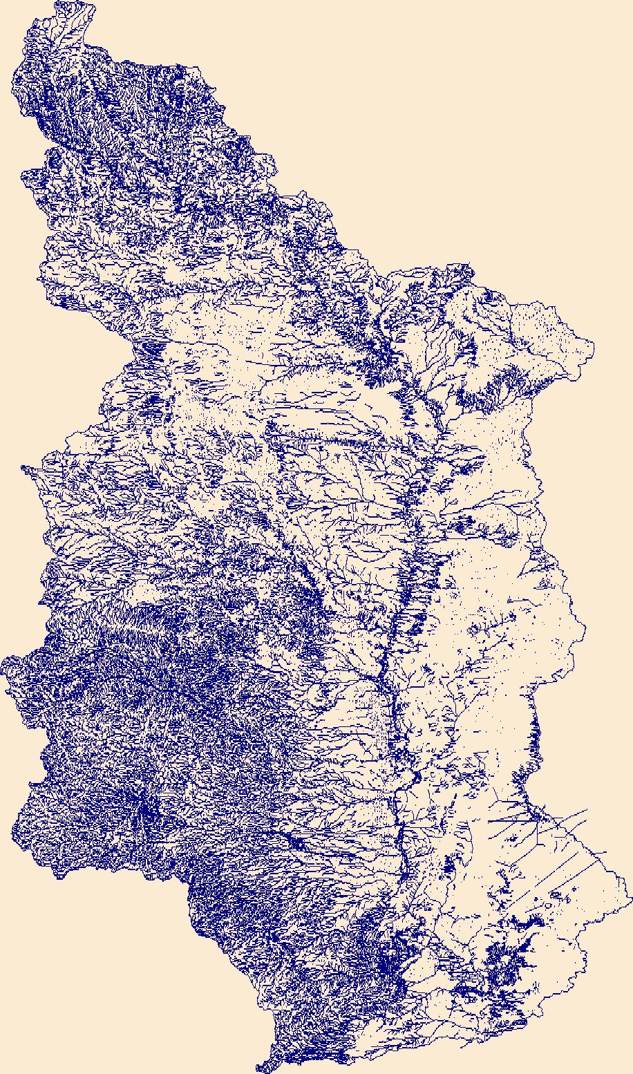
The High Resolution National Hydrography Dataset Plus (NHDPlus HR) is an integrated set of geospatial data layers, including the best available National Hydrography Dataset (NHD), the 10-meter 3D Elevation Program Digital Elevation Model (3DEP DEM), and the National Watershed Boundary Dataset (WBD). The NHDPlus HR combines the NHD, 3DEP DEMs, and WBD to create a stream network with linear referencing, feature naming, "value added attributes" (VAAs), elevation-derived catchments, and other features for hydrologic data analysis. The stream network with linear referencing is a system of data relationships applied to hydrographic systems so that one stream reach "flows" into another and "events" can be tied to and traced...
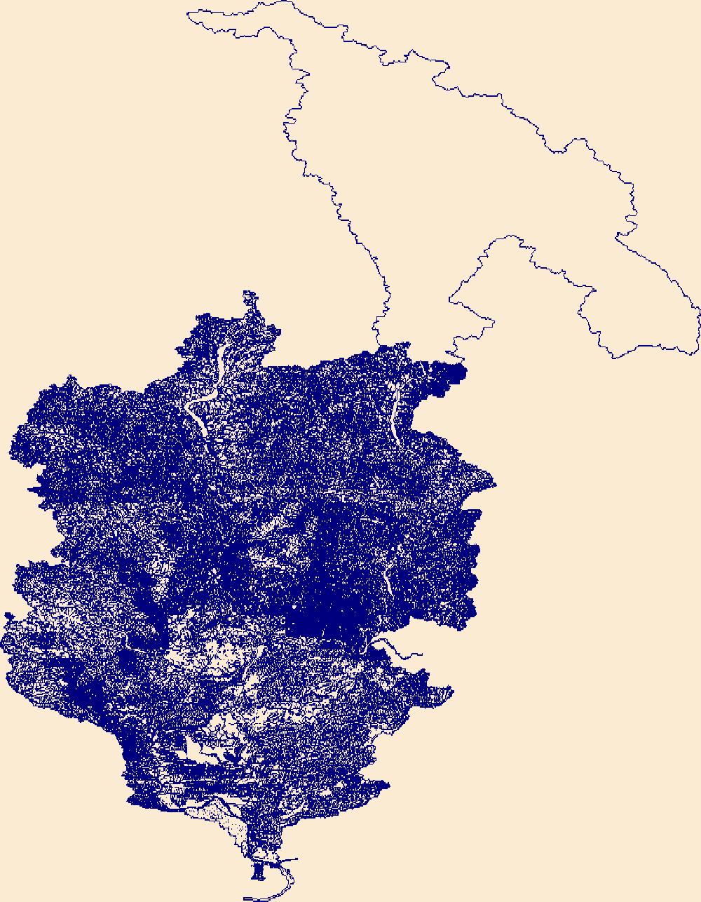
The High Resolution National Hydrography Dataset Plus (NHDPlus HR) is an integrated set of geospatial data layers, including the best available National Hydrography Dataset (NHD), the 10-meter 3D Elevation Program Digital Elevation Model (3DEP DEM), and the National Watershed Boundary Dataset (WBD). The NHDPlus HR combines the NHD, 3DEP DEMs, and WBD to create a stream network with linear referencing, feature naming, "value added attributes" (VAAs), elevation-derived catchments, and other features for hydrologic data analysis. The stream network with linear referencing is a system of data relationships applied to hydrographic systems so that one stream reach "flows" into another and "events" can be tied to and traced...

The High Resolution National Hydrography Dataset Plus (NHDPlus HR) is an integrated set of geospatial data layers, including the best available National Hydrography Dataset (NHD), the 10-meter 3D Elevation Program Digital Elevation Model (3DEP DEM), and the National Watershed Boundary Dataset (WBD). The NHDPlus HR combines the NHD, 3DEP DEMs, and WBD to create a stream network with linear referencing, feature naming, "value added attributes" (VAAs), elevation-derived catchments, and other features for hydrologic data analysis. The stream network with linear referencing is a system of data relationships applied to hydrographic systems so that one stream reach "flows" into another and "events" can be tied to and traced...
|

|