USGS NED Digital Surface Model AK IFSAR-Summer-C176 2016 TIFF 2018

Dates

Publication Date
Start Date
2016-07-25
End Date
2016-08-03
File Modification Date
2020-12-11 09:20:07

Citation

U.S. Geological Survey, 20180320, USGS NED Digital Surface Model AK IFSAR-Summer-C176 2016 TIFF 2018: U.S. Geological Survey.

Summary

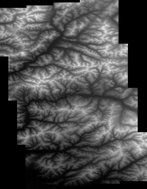
These data are Digital Surface Models (DSM) derived from interferometric synthetic aperture radar (ifsar) data. A DSM is a 3 dimensional representation of surface elevations in an area, including elevations of man-made structures and vegetation. The USGS performs minimal quality assurance and no reprocessing of the DSM data. USGS distributes the DSM data as received from the contractors, partners or contributing entities.
Contacts

Originator :
U.S. Geological Survey
Publisher :
U.S. Geological Survey
Metadata Contact :
U.S. Geological Survey
Distributor :
U.S. Geological Survey

Attached Files

Purpose

DSMs are used as a primary or ancillary source for digital mapping or scientific analysis.

Additional Information

Identifiers

Type Scheme Key
uuid inventory 546a3524-a565-b30b-ed9f-ea70cc2010ad

Item Actions

View Item as ...

Save Item as ...

View Item...