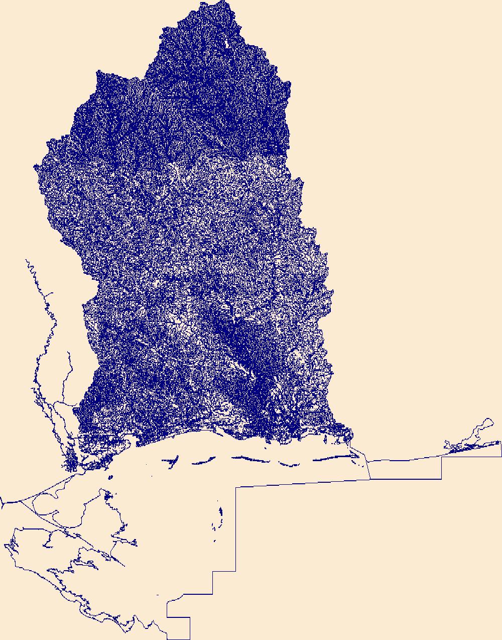
USGS National Hydrography Dataset Plus High Resolution (NHDPlus HR) for 4-digit Hydrologic Unit - 0317 (published 20180501)

Dates

Publication Date
Start Date
2002-08-27
End Date
2017-11-16
File Modification Date
2024-02-29 00:19:35

Citation

U.S. Geological Survey, 20180501, USGS National Hydrography Dataset Plus High Resolution (NHDPlus HR) for 4-digit Hydrologic Unit - 0317 (published 20180501): U.S. Geological Survey.

Summary

The High Resolution National Hydrography Dataset Plus (NHDPlus HR) is an integrated set of geospatial data layers, including the best available National Hydrography Dataset (NHD), the 10-meter 3D Elevation Program Digital Elevation Model (3DEP DEM), and the National Watershed Boundary Dataset (WBD). The NHDPlus HR combines the NHD, 3DEP DEMs, and WBD to create a stream network with linear referencing, feature naming, "value added attributes" (VAAs), elevation-derived catchments, and other features for hydrologic data analysis. The stream network with linear referencing is a system of data relationships applied to hydrographic systems so that one stream reach "flows" into another and "events" can be tied to and traced along the network. [...]
Contacts

Attached Files

Purpose

These data are intended for geographic display and analysis at the watershed level. The data should be displayed and analyzed at scales appropriate for 1:24,000-scale data. No responsibility is assumed by the U.S. Geological Survey in the use of these data.

Additional Information

Identifiers

Type Scheme Key
uuid inventory b61b5273-a0cc-a75e-f1d6-5d5268a55c38

Item Actions

View Item as ...

Save Item as ...

View Item...