Folders: ROOT > ScienceBase Catalog > National Geospatial Program > The National Map > Alaska Digital Surface Models (DSMs) - USGS National Map 3DEP Downloadable Data Collection ( Show all descendants )
430 results (34ms)
Location
Folder
ROOT _ScienceBase Catalog __National Geospatial Program ___The National Map ____Alaska Digital Surface Models (DSMs) - USGS National Map 3DEP Downloadable Data Collection Filters
Date Range
Types Contacts Tag Types Tag Schemes |
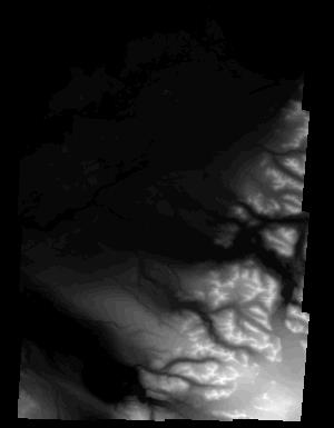
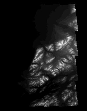
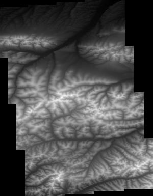
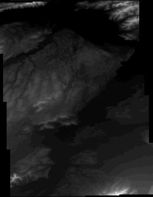
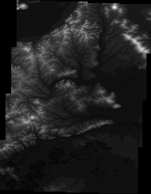
These data are Digital Surface Models (DSM) derived from interferometric synthetic aperture radar (ifsar) data. A DSM is a 3 dimensional representation of surface elevations in an area, including elevations of man-made structures and vegetation. The USGS performs minimal quality assurance and no reprocessing of the DSM data. USGS distributes the DSM data as received from the contractors, partners or contributing entities.
Types: Citation;
Tags: Cartography,
DSM,
Digital Mapping,
Digital Surface Model,
Digital Terrain Model,
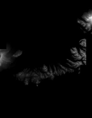
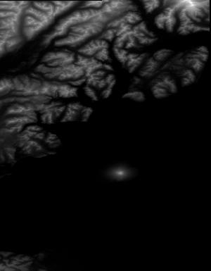
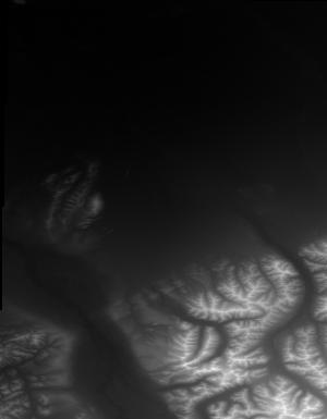
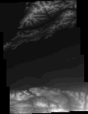
These data are Digital Surface Models (DSM) derived from interferometric synthetic aperture radar (ifsar) data. A DSM is a 3 dimensional representation of surface elevations in an area, including elevations of man-made structures and vegetation. The USGS performs minimal quality assurance and no reprocessing of the DSM data. USGS distributes the DSM data as received from the contractors, partners or contributing entities.
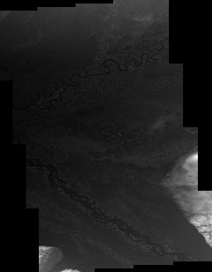
These data are Digital Surface Models (DSM) derived from interferometric synthetic aperture radar (ifsar) data. A DSM is a 3 dimensional representation of surface elevations in an area, including elevations of man-made structures and vegetation. The USGS performs minimal quality assurance and no reprocessing of the DSM data. USGS distributes the DSM data as received from the contractors, partners or contributing entities.

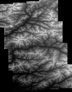
These data are Digital Surface Models (DSM) derived from interferometric synthetic aperture radar (ifsar) data. A DSM is a 3 dimensional representation of surface elevations in an area, including elevations of man-made structures and vegetation. The USGS performs minimal quality assurance and no reprocessing of the DSM data. USGS distributes the DSM data as received from the contractors, partners or contributing entities.
These data are Digital Surface Models (DSM) derived from interferometric synthetic aperture radar (ifsar) data. A DSM is a 3 dimensional representation of surface elevations in an area, including elevations of man-made structures and vegetation. The USGS performs minimal quality assurance and no reprocessing of the DSM data. USGS distributes the DSM data as received from the contractors, partners or contributing entities.
These data are Digital Surface Models (DSM) derived from interferometric synthetic aperture radar (ifsar) data. A DSM is a 3 dimensional representation of surface elevations in an area, including elevations of man-made structures and vegetation. The USGS performs minimal quality assurance and no reprocessing of the DSM data. USGS distributes the DSM data as received from the contractors, partners or contributing entities.
Types: Citation;
Tags: Cartography,
DSM,
Digital Mapping,
Digital Surface Model,
Digital Terrain Model,
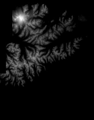
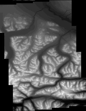
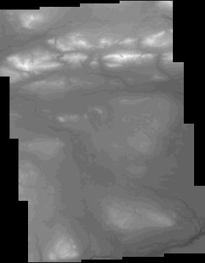
These data are Digital Surface Models (DSM) derived from interferometric synthetic aperture radar (ifsar) data. A DSM is a 3 dimensional representation of surface elevations in an area, including elevations of man-made structures and vegetation. The USGS performs minimal quality assurance and no reprocessing of the DSM data. USGS distributes the DSM data as received from the contractors, partners or contributing entities.
These data are Digital Surface Models (DSM) derived from interferometric synthetic aperture radar (ifsar) data. A DSM is a 3 dimensional representation of surface elevations in an area, including elevations of man-made structures and vegetation. The USGS performs minimal quality assurance and no reprocessing of the DSM data. USGS distributes the DSM data as received from the contractors, partners or contributing entities.
These data are Digital Surface Models (DSM) derived from interferometric synthetic aperture radar (ifsar) data. A DSM is a 3 dimensional representation of surface elevations in an area, including elevations of man-made structures and vegetation. The USGS performs minimal quality assurance and no reprocessing of the DSM data. USGS distributes the DSM data as received from the contractors, partners or contributing entities.
These data are Digital Surface Models (DSM) derived from interferometric synthetic aperture radar (ifsar) data. A DSM is a 3 dimensional representation of surface elevations in an area, including elevations of man-made structures and vegetation. The USGS performs minimal quality assurance and no reprocessing of the DSM data. USGS distributes the DSM data as received from the contractors, partners or contributing entities.
These data are Digital Surface Models (DSM) derived from interferometric synthetic aperture radar (ifsar) data. A DSM is a 3 dimensional representation of surface elevations in an area, including elevations of man-made structures and vegetation. The USGS performs minimal quality assurance and no reprocessing of the DSM data. USGS distributes the DSM data as received from the contractors, partners or contributing entities.

These data are Digital Surface Models (DSM) derived from interferometric synthetic aperture radar (ifsar) data. A DSM is a 3 dimensional representation of surface elevations in an area, including elevations of man-made structures and vegetation. The USGS performs minimal quality assurance and no reprocessing of the DSM data. USGS distributes the DSM data as received from the contractors, partners or contributing entities.
Types: Citation;
Tags: Cartography,
DSM,
Digital Mapping,
Digital Surface Model,
Digital Terrain Model,
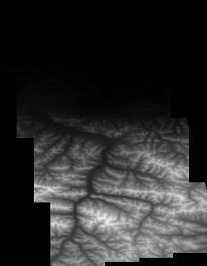
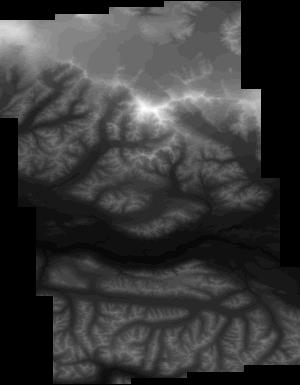
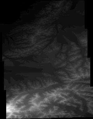
These data are Digital Surface Models (DSM) derived from interferometric synthetic aperture radar (ifsar) data. A DSM is a 3 dimensional representation of surface elevations in an area, including elevations of man-made structures and vegetation. The USGS performs minimal quality assurance and no reprocessing of the DSM data. USGS distributes the DSM data as received from the contractors, partners or contributing entities.
Types: Citation;
Tags: Cartography,
DSM,
Digital Mapping,
Digital Surface Model,
Digital Terrain Model,
|

|
