Filters: Tags: North Platte (X)
16 results (60ms)|
Filters
Date Range
Extensions Types Contacts
Categories Tag Types Tag Schemes |
These data were released prior to the October 1, 2016 effective date for the USGS’s policy dictating the review, approval, and release of scientific data as referenced in USGS Survey Manual Chapter 502.8 Fundamental Science Practices: Review and Approval of Scientific Data for Release. The U.S. Geological Survey, in cooperation with the North Platte Natural Resources District, used two surface geophysical techniques, capacitively coupled and direct-current continuous resistivity profiling, to map near-surface lithologies beneath the Interstate and Tri-State Canals in the spring and summer of 2004. This coverage represents the average electrical resistivity of sediments within the upper 8 meters below selected parts...

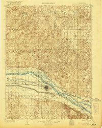
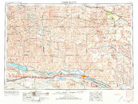
USGS Historical Quadrangle in GeoPDF.
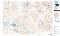
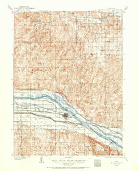
USGS Historical Quadrangle in GeoPDF.

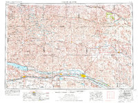
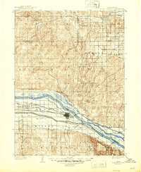
USGS Historical Quadrangle in GeoPDF.
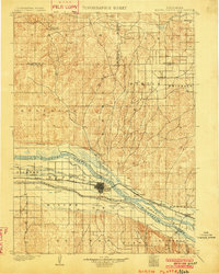
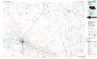
USGS Historical Quadrangle in GeoPDF.
USGS Historical Quadrangle in GeoPDF.
USGS Historical Quadrangle in GeoPDF.
USGS Historical Quadrangle in GeoPDF.
USGS Historical Quadrangle in GeoPDF.
USGS Historical Quadrangle in GeoPDF.

USGS Historical Quadrangle in GeoPDF.

USGS Historical Quadrangle in GeoPDF.
This data release contains a digital compilation of geologic data from the Scottsbluff 1° x 2° quadrangle of western Nebraska and northeastern Colorado, a region predominantly characterized by Quaternary and Tertiary sedimentary and extrusive igneous rocks. This geodatabase, digitized from published resources, includes the position of volcanic ash-bed localities, structural data of inclined beds, orientation of geologic contacts and structural contours of specified stratigraphic horizons, and geographic extent of mapped geologic outcrops. This geologic compilation includes a geodatabase with applicable spatial feature classes accompanied by non-spatial tables with information that describes the data sources, glossary...
Categories: Data;
Types: Downloadable,
Map Service,
OGC WFS Layer,
OGC WMS Layer,
Shapefile;
Tags: Arikaree Group,
Ash Hollow Formation,
Broadwater Formation,
Brule Formation,
Chadron Formation,
These data were released prior to the October 1, 2016 effective date for the USGS’s policy dictating the review, approval, and release of scientific data as referenced in USGS Survey Manual Chapter 502.8 Fundamental Science Practices: Review and Approval of Scientific Data for Release. The U.S. Geological Survey, in cooperation with the North Platte Natural Resources District, used two surface geophysical techniques, capacitively coupled and direct-current continuous resistivity profiling, to map near-surface lithologies beneath the Interstate and Tri-State Canals in the spring and summer of 2004. This coverage represents the average electrical resistivity of sediments within the upper 8 meters below selected parts...
Categories: pre-SM502.8;
Tags: NSDI,
Nebraska,
North Platte,
North Platte Natural Resources District,
USGS Science Data Catalog (SDC),
USGS Historical Quadrangle in GeoPDF.
This digital data release contains previously published geologic data compiled for the North Platte 250k quadrangle, a region in west-central Nebraska largely covered by Quaternary deposits, with exposures of Tertiary Ogallala and Brule formations in the southern portion of the study area. Geologic map data were compiled for the purposes of digitizing the geologic data as part of the National Cooperative Geologic Mapping Program’s efforts to bring together detailed national and continental resolution 2D and 3D information, produced throughout the Survey and by federal and state partners, that is an essential underpinning of the USGS Earth Map and Earth MRI initiatives and will enhance drinking water protection,...
|

|
