Filters: Tags: water quality (X) > Date Range: {"choice":"month"} (X)
74 results (44ms)|
Filters
Date Types (for Date Range)
Types
Contacts
Categories Tag Types
|
Model Inputs: Midwest Climate Change Vulnerability Assessment for the U.S. Fish and Wildlife Service
This data release contains the climate change model inputs and Soil and Water Assessment Tool (SWAT) model outputs from 360 HUC-8 watersheds in the Midwest United States (Illinois, Indiana, Iowa, Michigan, Minnesota, Ohio, and Wisconsin), that were generated using the HAWQS (Hydrologic and Water Quality System) platform (https://hawqs.tamu.edu). The summarized data for a watershed-based climate change vulnerability assessment for U.S. Fish and Wildlife Service is also provided, along with the R code used to summarize the raw outputs. Watershed-based Midwest Climate Change Vulnerability Assessment Tool: https://rconnect.usgs.gov/CC_Vulnerabi
During November 2018, the Camp Fire burned more than 150,000 acres in Butte County, California. The fire was the deadliest and most destructive in California history, destroying more than 18,000 structures and causing at least 85 fatalities. The U.S. Geological Survey sampled surface water in areas affected by the Camp Fire, plus an unburned control site, during two post-fire sampling events, January 21-23, 2019 and February 28 - March 1, 2019. During each of those two sampling events, surface-water samples were collected at 8 stream locations. These 16 water samples were filtered using filters with multiple pore sizes (1.2 µm, 0.8 µm, 0.45 µm, and 0.22 µm) to evaluate colloid transport of trace elements. The filtrates...
Categories: Data;
Tags: Butte County,
California,
Environmental Health,
Geochemistry,
Land Use Change,
The data release consists of two companion air and water temperature datasets collected as part of the U.S. Geological Survey (USGS) Next Generation Water Observing System (NGWOS) program with data from both the Little Lehigh and White Clay Creek Watersheds in the Delaware River Basin. Data consists of 15-minute temperature data during the 7/2021 – 12/2022 study period for 21 air and 49 water locations (which include 6 continuous monitoring USGS streamgages) in the Little Lehigh Creek watershed and 8/2021 – 1/2023 for 28 air and 36 surface water locations (including 6 continuous monitoring USGS streamgages) in the White Clay Creek watershed. Datalogger installation locations for surface water locations were targeted...
Categories: Data;
Tags: Air Temperature,
Continuous Data,
Delaware River Basin,
Hydrology,
Pennsylvania,
Water scarcity is a growing concern in Texas, where surface water is derived almost entirely from rainfall. Changes in air temperature and precipitation patterns associated with global climate change are anticipated to regionally affect the quality and quantity of inland surface waters and consequently their suitability as habitat for freshwater life. In addition to directly affecting resident organisms and populations, these changes in physicochemical traits of aquatic habitats may favor the establishment of harmful invasive species. As conflicts over the use of water resources grow in intensity, this information will become important for fish and wildlife managers to anticipate impacts of climate change on trust...
Categories: Project;
Types: Map Service,
OGC WFS Layer,
OGC WMS Layer,
OGC WMS Service;
Tags: 2010,
CASC,
Completed,
Lake,
National CASC,
This data release includes hydroacoustic data for the 2021 to 2022 water years at four stations. These stations are part of a discrete and continuous monitoring project in embayments on Long Island Sound to support nutrient management activities in Connecticut. The data were collected by the U.S Geological Survey (USGS) in cooperation with the Connecticut Department of Energy and Environmental Protection. The data were collected using acoustic doppler current profilers (ADCPs) sampling 134 parameters every six minutes. Recorded values above the water surface were removed from files using an R script. The ADCPs were deployed at upstream and downstream locations in the Mystic and Norwalk embayments. For the Mystic...
The High Resolution National Hydrography Dataset Plus (NHDPlus HR) is an integrated set of geospatial data layers, including the best available National Hydrography Dataset (NHD), the 10-meter 3D Elevation Program Digital Elevation Model (3DEP DEM), and the National Watershed Boundary Dataset (WBD). The NHDPlus HR combines the NHD, 3DEP DEMs, and WBD to create a stream network with linear referencing, feature naming, "value added attributes" (VAAs), elevation-derived catchments, and other features for hydrologic data analysis. The stream network with linear referencing is a system of data relationships applied to hydrographic systems so that one stream reach "flows" into another and "events" can be tied to and traced...
This data release contains three 10-meter resolution GeoTIFFs representing 10-meter (35-foot), 30-meter (100-foot) and 90-meter (300-foot) riparian buffer zones along shorelines, rivers, streams, and other lotic (flowing) water features. The layers are binary, where the value of each cell represents the presence or absence of the buffer zone. In addition, the data release contains shapefile layers that document the extent of corrections that were made to the data to address errors in the stream network (see processing steps section for more details). The methodology combines various fine-scale input layers, including a 1:24k stream network and Chesapeake Bay 1-meter resolution Land Use/Land Cover to approximate...
Types: Map Service,
OGC WFS Layer,
OGC WMS Layer,
OGC WMS Service;
Tags: Chesapeake,
Delaware,
District of Columbia,
Ecology,
Forestry,
This dataset summarizes impairment status for HUC12 watersheds at the CONUS scale using the EPA publicly available Assessment, Total Maximum Daily Load (TMDL) Tracking and Implementation System (ATTAINS) geospatial package and the USGS Watershed Boundary Dataset (WBD). ATTAINS is an online system maintained by the EPA containing information about the condition of the Nation’s surface waters, as reported by individual states. These data were downloaded in October 2023 and primarily reflect 2022 stream conditions. Because of the varying data types that exist in the database, an independent methodology was developed for summarizing impairment status for HUC12 watersheds using the USGS WBD as detailed in this metadata...
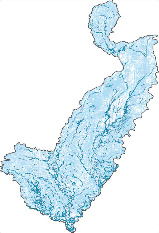
The High Resolution National Hydrography Dataset Plus (NHDPlus HR) is an integrated set of geospatial data layers, including the best available National Hydrography Dataset (NHD), the 10-meter 3D Elevation Program Digital Elevation Model (3DEP DEM), and the National Watershed Boundary Dataset (WBD). The NHDPlus HR combines the NHD, 3DEP DEMs, and WBD to create a stream network with linear referencing, feature naming, "value added attributes" (VAAs), elevation-derived catchments, and other features for hydrologic data analysis. The stream network with linear referencing is a system of data relationships applied to hydrographic systems so that one stream reach "flows" into another and "events" can be tied to and traced...
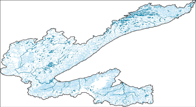
The High Resolution National Hydrography Dataset Plus (NHDPlus HR) is an integrated set of geospatial data layers, including the best available National Hydrography Dataset (NHD), the 10-meter 3D Elevation Program Digital Elevation Model (3DEP DEM), and the National Watershed Boundary Dataset (WBD). The NHDPlus HR combines the NHD, 3DEP DEMs, and WBD to create a stream network with linear referencing, feature naming, "value added attributes" (VAAs), elevation-derived catchments, and other features for hydrologic data analysis. The stream network with linear referencing is a system of data relationships applied to hydrographic systems so that one stream reach "flows" into another and "events" can be tied to and traced...
This data release contains site information and potential explanatory factor data for 1,899 groundwater sites. These sites were used to assess groundwater quality in aquifers used for domestic and public drinking water supply in the southeastern San Joaquin Valley. The southeastern San Joaquin Valley (SESJV) study unit consists of five study areas whose boundaries are defined by the eponymous California Department of Water Resources groundwater subbasins of the San Joaquin Valley groundwater basin: Madera-Chowchilla, Kings, Kaweah, Tule, and Tulare Lake. The sites consist of 198 wells representing the domestic-supply aquifer and 1,701 wells representing the public-supply aquifer. The domestic-supply aquifer wells...
Surface water samples (n = 33) were collected in fall of 2023 at stream sites in Scott County Iowa, USA and were analyzed for microbial source tracking markers by quantitative polymerase chain reaction at the Laboratory for Infectious Disease and the Environment (LIDE). Microbial source tracking markers identify fecal sources of contamination by detecting microbes that are specific to certain animals. Cooperators include Partners of Scott County Watersheds, Prairie Rivers of Iowa, and U.S. Department of Agriculture-Agricultural Research Service.
Categories: Data;
Tags: Iowa,
Microbial source tracking,
USGS Science Data Catalog (SDC),
Water Quality,
environment,
The Coupled Ocean-Atmosphere-Wave-Sediment Transport (COAWST Warner and others, 2019; Warner and others, 2010) model was used to simulate three-dimensional hydrodynamics and waves to study salinity intrusion in the Delaware Bay estuary for 2016, 2018, 2021. Salinity intrusion in coastal systems is due in part to extreme events like drought or low-pressure storms and longer-term sea level rise, threatening economic infrastructure and ecological health. Along the eastern seaboard of the United States, approximately 13 million people rely on the water resources of the Delaware River basin, which is actively managed to suppress the salt front (or ~0.52 daily averaged psu line) through river discharge targets. However,...
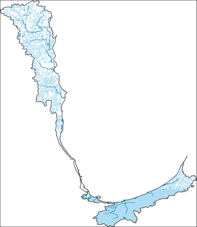
The High Resolution National Hydrography Dataset Plus (NHDPlus HR) is an integrated set of geospatial data layers, including the best available National Hydrography Dataset (NHD), the 10-meter 3D Elevation Program Digital Elevation Model (3DEP DEM), and the National Watershed Boundary Dataset (WBD). The NHDPlus HR combines the NHD, 3DEP DEMs, and WBD to create a stream network with linear referencing, feature naming, "value added attributes" (VAAs), elevation-derived catchments, and other features for hydrologic data analysis. The stream network with linear referencing is a system of data relationships applied to hydrographic systems so that one stream reach "flows" into another and "events" can be tied to and traced...
A hydrodynamic and water-quality model (CE-QUAL-W2) was developed of a 21-mile reach of the upper Illinois River including a 3-mile reach of a major tributary, the Fox River. The CE-QUAL-W2 model is 2-dimensional in the vertical and longitudinal directions and averaged over the lateral direction. Continuous water quality and streamgage data provided time-series data for model boundary conditions. Discrete velocity, cross-section area, and temperature profiles at several locations within the study reach provided model calibration data. The model was calibrated to 2021 and 2022 observed data and validated with 2020 data. Model output consisted of 2-dimensional, laterally averaged hydrodynamic and water-temperature...
Types: Map Service,
OGC WFS Layer,
OGC WMS Layer,
OGC WMS Service;
Tags: Dayton, IL,
Fox River, IL,
Grundy County, IL,
Hydrology,
Illinois River, IL,
This data release contains cyanotoxin, chlorophyll-a, and pheophytin-a concentration, cyanobacterial genetics, phytoplankton community composition, and multiparameter sonde data collected from 20 sites in five northeastern United States river basins (Penobscot (ME), Santuit (MA), York (VA-WV), Salem (NJ), and Peconic (NY)). Solid Phase Adsorption Toxin Tracking (SPATT) passive samplers were deployed at all sites between August 31 and September 2, 2020, and retrieved after 7 days. Discrete water samples were collected when SPATTs were deployed, and at 2 sites (USGS station IDs 01670257, 0167014792), samples were also collected when the SPATTs were recovered. Sonde data were collected when deploying and retrieving...
Categories: Data;
Types: Downloadable,
Map Service,
OGC WFS Layer,
OGC WMS Layer,
Shapefile;
Tags: Anatoxin-a,
Aquatic Community Health,
Chlorophyll-a,
Contaminants, HABS,
Cyanobacteria,
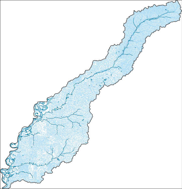
The High Resolution National Hydrography Dataset Plus (NHDPlus HR) is an integrated set of geospatial data layers, including the best available National Hydrography Dataset (NHD), the 10-meter 3D Elevation Program Digital Elevation Model (3DEP DEM), and the National Watershed Boundary Dataset (WBD). The NHDPlus HR combines the NHD, 3DEP DEMs, and WBD to create a stream network with linear referencing, feature naming, "value added attributes" (VAAs), elevation-derived catchments, and other features for hydrologic data analysis. The stream network with linear referencing is a system of data relationships applied to hydrographic systems so that one stream reach "flows" into another and "events" can be tied to and traced...
This dataset comprises water quality results from monitoring sites on major tributaries of the Colorado River in the Grand Canyon region beginning in 2015. These tributary sites include Little Colorado River above the mouth near Desert View, Arizona (USGS site ID 09402300); Kanab Creek above the mouth near Supai, Arizona (USGS site ID 09403850); Havasu Creek above the mouth near Supai, Arizona (USGS site ID 09404115); House Rock Wash below Emmett Wash in Rider Canyon, Arizona (USGS site ID 363851111482000); and Paria River at Lees Ferry, Arizona (USGS site ID 09382000). Monitoring of the Little Colorado River, Kanab Creek, and Havasu Creek sites began in 2015, with other sites added later.
Categories: Data;
Tags: Arizona,
Grand Canyon,
Lower Colorado River Basin,
uranium mining,
water quality
Anaerobic microcosm experiments were conducted in April-May 2018 with PFAS-contaminated soil from a U.S. Army installation (Fort Drum, New York) and simulated groundwater. All microcosms, except for a live sediment control, were amended with perfluorooctanesulfonate (PFOS), perfluorooctanoate (PFOA), and 6:2 fluorotelomer sulfonate (6:2 FtS). Replicate treatments were prepared with and without bioaugmentation with the WBC-2 dehalogenating culture and with and without addition of chlorinated volatile organic compounds (1,1,2,2-tetrachloroethane and trichloroethylene). Two additional treatments were prepared containing granular activated carbon. All microcosms were prepared in duplicate and sacrificed for sampling....
This layer represents fundamentally suitable and unsuitable habitat for freshwater mussels in the Meramec Basin as modeled by these authors on May 17, 2017 based on spatial data ranging from 1990 to 2014. Identification of habitat characteristics associated with the presence of freshwater mussels is challenging but crucial for the conservation of this declining fauna. Most mussel species are found in multi-species assemblages suggesting that physical factors influence presence similarly across species. In lotic environments, geomorphic and hydraulic characteristics appear to be important factors for predicting mussel presence. We used maximum entropy (MaxEnt) modeling to evaluate hydrogeomorphic variables associated...
Categories: Data,
Project;
Types: Downloadable,
Map Service,
OGC WFS Layer,
OGC WMS Layer,
Shapefile;
Tags: Aquatic Biology,
Ecology,
Hydrology,
MaxEnt,
Meramec,
|

|