USGS Land Cover - Woodland Downloadable Data Collection
Dates
Publication Date
2023
Start Date
1970
End Date
2012
Citation
U.S. Geological Survey, National Geospatial Technical Operations Center, 2023, USGS Land Cover - Woodland Downloadable Data Collection: U.S. Geological Survey.
Summary
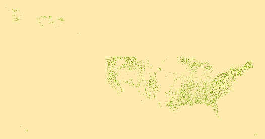
Geospatial data that is a derivative land cover product depicting woodland on topographic maps.
Summary
Geospatial data that is a derivative land cover product depicting woodland on topographic maps.
This dataset depicts woodland features on the surface of the earth. It is a general purpose dataset for users who are not GIS experts. The geospatial data in this map are from selected National Map data holdings and other government sources.