USGS Small-scale Dataset - 1:1,000,000-Scale Major Roads of the United States 201403 FileGDB 10.1
Dates
Publication Date
2014-03
Time Period
2014-03
File Modification Date
2016-10-06 17:30:00
Citation
U.S. Geological Survey, 201403, USGS Small-scale Dataset - 1:1,000,000-Scale Major Roads of the United States 201403 FileGDB 10.1: U.S. Geological Survey.
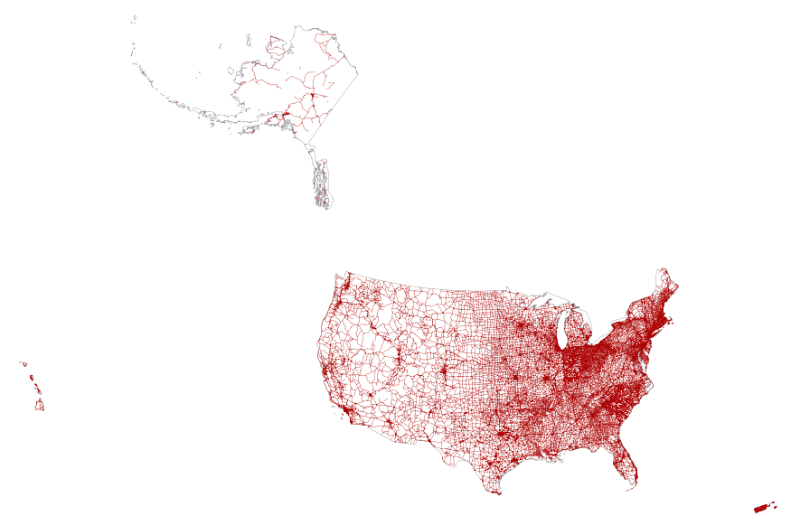
Summary
This map layer portrays the major roads in the United States, Puerto Rico, and the U.S. Virgin Islands. The file was produced by joining the individual State roads layers from the National Highway Planning Network (NHPN), Geographic Data Technology (GDT) Dynamap, and TIGER/Line files. This is a revised version of the July 2012 map layer.
These data are intended for geographic display and analysis at the national level, and for large regional areas. The data should be displayed and analyzed at scales appropriate for 1:1,000,000-scale data. No responsibility is assumed by the National Atlas of the United States in the use of these data.