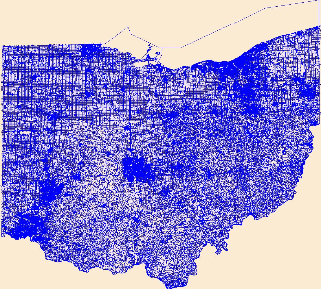
USGS National Transportation Dataset (NTD) for Ohio (published 20240216) Shapefile
Dates
Publication Date
2024-02-16
Start Date
2024-02-16
End Date
2024-02-16
File Modification Date
2024-02-16 00:20:42
Citation
U.S. Geological Survey, National Geospatial Technical Operations Center, 20240216, USGS National Transportation Dataset (NTD) for Ohio (published 20240216) Shapefile: U.S. Geological Survey.
Summary
Layers of geospatial data include roads, airports, trails, and railroads.
Summary
Layers of geospatial data include roads, airports, trails, and railroads.