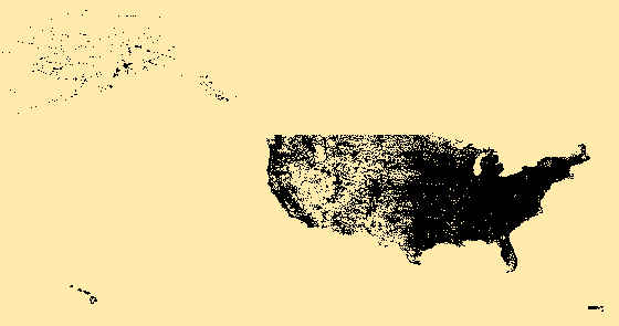
USGS Structures from The National Map (TNM) consists of data to include the name, function, location, and other core information and characteristics of selected manmade facilities across all US states and territories. The types of structures collected are largely determined by the needs of disaster planning and emergency response, and homeland security organizations. Structures currently included are: School, School:Elementary, School:Middle, School:High, College/University, Technical/Trade School, Ambulance Service, Fire Station/EMS Station, Law Enforcement, Prison/Correctional Facility, Post Office, Hospital/Medical Center, Cabin, Campground, Cemetery, Historic Site/Point of Interest, Picnic Area, Trailhead, Vistor/Information Center, [...]
