USGS National Lidar and DEM Acquisition Plan Objectives for FY17 from The National Map 3D Elevation Program (3DEP) - National Geospatial Data Asset (NGDA) National Elevation Data Set (NED)
Dates
Publication Date
2016
Time Period
2016
File Modification Date
2016-09-27 12:18:00
Citation
U.S. Geological Survey, 2016, USGS National Lidar and DEM Acquisition Plan Objectives for FY17 from The National Map 3D Elevation Program (3DEP) - National Geospatial Data Asset (NGDA) National Elevation Data Set (NED): USGS - National Geospatial Technical Operations Center (NGTOC).
Summary
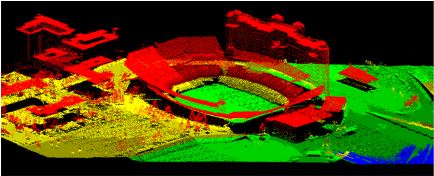
U.S. Geological Survey, Department of the Interior - The annual lidar and DEM acquisition plan is part of the 3DEP initiative to systematically collect enhanced elevation data (Quality Level 2) in the form of high-quality light detection and ranging (lidar) data over the conterminous United States, Hawaii, and the territories on an 8-year schedule. The FY17 acquisition plan currently anticipates collecting 225,000 sq. mi. or more depending on partnerships and other contributions to the plan. Interested parties who wish to become a funding partner with the USGS in FY17 or in future years should contact a USGS Geospatial Liaison - http://liaisons.usgs.gov/geospatial/documents/TNM_Partnership_User_ContactList.pdf. Products will include: [...]
Summary
U.S. Geological Survey, Department of the Interior - The annual lidar and DEM acquisition plan is part of the 3DEP initiative to systematically collect enhanced elevation data (Quality Level 2) in the form of high-quality light detection and ranging (lidar) data over the conterminous United States, Hawaii, and the territories on an 8-year schedule. The FY17 acquisition plan currently anticipates collecting 225,000 sq. mi. or more depending on partnerships and other contributions to the plan. Interested parties who wish to become a funding partner with the USGS in FY17 or in future years should contact a USGS Geospatial Liaison - http://liaisons.usgs.gov/geospatial/documents/TNM_Partnership_User_ContactList.pdf. Products will include: raw point cloud, classified point cloud, 1M DEM, and other standard derived NED datasets. To find out more about the 3DEP initiative go to http://nationalmap.gov/3DEP.